Wildfire Detection Aided by Satellite Imagery
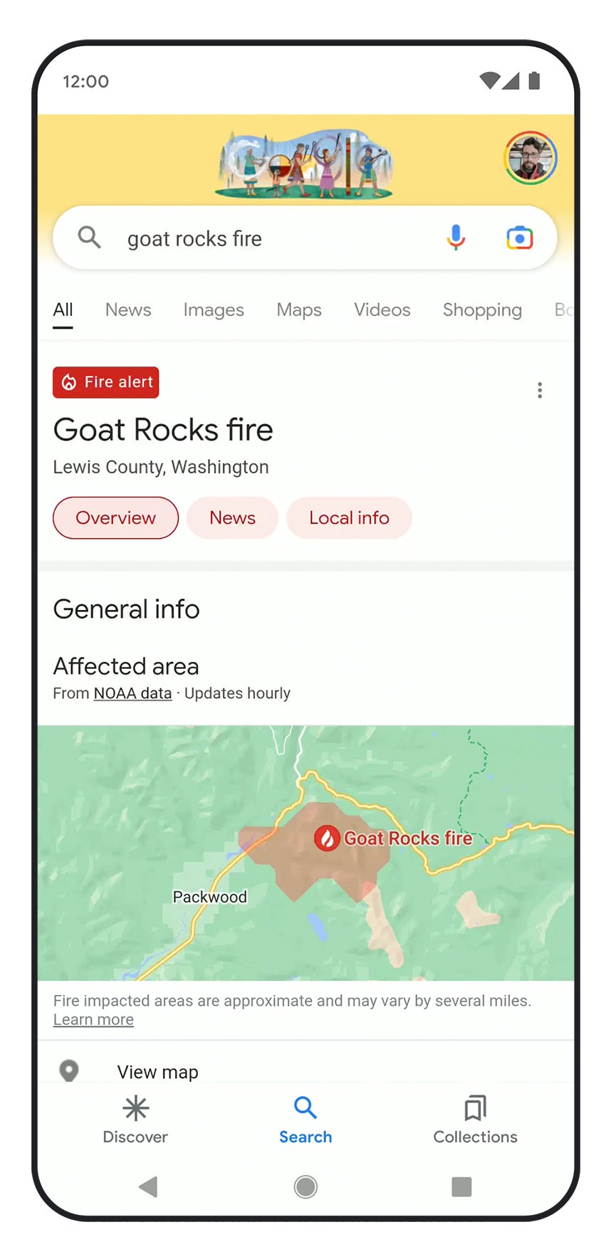
Google will also expand its use of satellite imagery to train its models to better identify and track the spread of wildfires. The company hopes its wildfire tracking system, which now includes the United States, Canada, Mexico, and parts of Australia, could provide much needed insights for firefighters responding to disasters on the ground in real time.