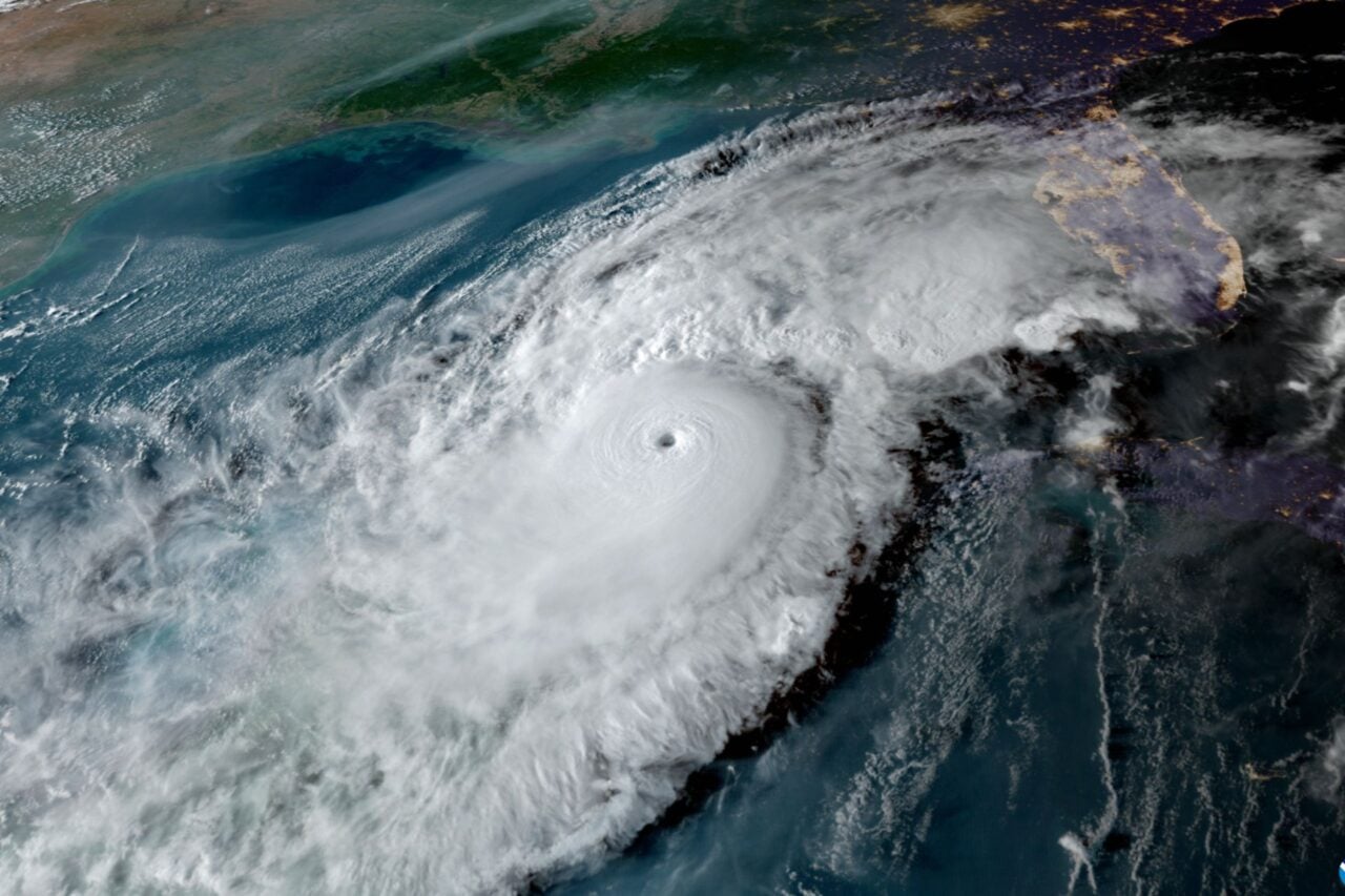
It’s been a year of unique weather to say the least. The latest potentially bizarre weather happening to add to the list? Florence, the first major hurricane of the season, could follow a highly unusual route from the center of the Atlantic into the heart of the Eastern Seaboard thanks to a weird atmospheric setup.
There are a lot of factors that will affect the storm’s track over the coming days, and slight shifts in any of them could have major consequences. A U.S. landfall is not a given by any means, but Florence is a storm that bears watching into next week, especially with the latest model runs.
The storm has already had a wild ride. On Wednesday, it whipped up into a Category 3 hurricane before running into turbulent winds that are part of the subtropical jet stream, a fast-flowing river of air in the atmosphere. By Thursday, Florence had weakened back to a tropical storm. It continued its subdued simmer into Friday with winds at 65 mph.
That weakening is the start of the potential bad news for the East Coast, but it also means Florence will in all likelihood spare Bermuda. Hurricanes in the Atlantic usually follow a track that looks roughly like a backwards C owing to steering winds and the location of high pressure system known as the Bermuda High that generally sits parked in the middle of the Atlantic.
If the storm had kept tracking northwestward, it would eventually have gotten sucked in by the high and spit back out into the North Atlantic, potentially clipping Bermuda in the process. But weaker winds and the storm’s interaction with the jet stream have nudged it on a more westerly track that’s very unusual.
“It’s so far north for that longitude that storms in the area are historically in the process of recurving toward the north,” Brian McNoldy, a hurricane researcher at the University of Miami, told Earther. “Not Florence.”
Of the 57 named storms that have passed within 200 miles of Florence’s location as of late this morning, none have come close to striking the U.S. Most have curved out to sea with the exception of a few freak storms that skirted southwest toward the Dominican Republic.
Florence’s northerly position is the East Coast’s first piece of bad news. The second is that an exceptionally strong ridge of high pressure air is building to the north that could essentially bottle up Florence and keep it rumbling westward. “No hurricane can turn north into that,” McNoldy said.
In other words, if the ridge comes to bear at the strength recent model runs are showing, it would put Florence on a collision course with the East Coast. Not only that, it would steer the storm over a pool of very warm water, allowing it to roar back to life and potentially reach major hurricane status again.
The vaunted Euro model has pretty consistently been pointing toward an East Coast landfall and the American weather model known as the GFS has been nudging that way, too. The Friday afternoon ensemble run of the Euro pushes Florence further westward with a likely landfall in the Southeast or Carolinas. If it happens, the storm will have essentially taken an unprecedented track across the Atlantic.
Still, this is not the time to freak out. Florence remains 1,800 miles east of Florida. There are still a number of moving parts that will have to fall into place to make things go wrong for East Coasters. That said, it’s the time to listen to the National Hurricane Center and weather professionals and think about how you’ll prepare if the forecast continues to shape up poorly.


