Even as someone who writes about climate all the time, it’s still a shock to see satellite imagery of climate crises, to really get a grasp on how large human influence can be on our warming planet. Here’s how this summer of droughts, heatwaves, floods, and wildfires looked from space.
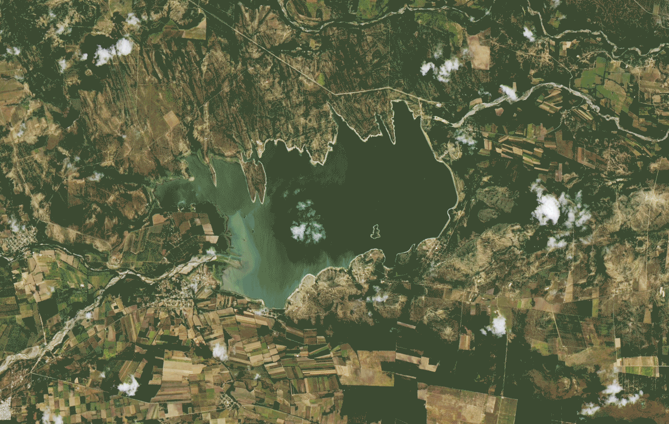
First up, above: Jaw-dropping images of the Cerro Prieto reservoir in northern Mexico show how the reservoir dropped to just 0.5% of its capacity in July, compared to its much fuller state in July 2015. Mexico endured punishing drought conditions this summer, with 21 million people, representing two-thirds of the country, facing some kind of water shortage.