We are spoiled rotten by easy access to georeferenced Martian photography, but mosaics weren’t always that easy. In the days before computer processing and seamless stitching, mosaics were constructed by Patricia “Patsy” Conklin and people like her.
Patricia “Patsy” Conklin assembling Marinier 9’s photographs of Mars into a preliminary mosaic in 1972.
The images were printed on photo paper and hand trimmed. They were then mounted onto a large board, with the position determined by a detailed diagram of the spacecraft’s photographic coverage of a planet. This preliminary collage was photographed, and that photo printed out and labelled with latitude and longitude. The rough-draft map was used to extract the location of geographical features, and highlight gaps in coverage
Mariner 9 mosaic of equatorial Mars, composed of photographs taken January to March 1972.
Later, the photos were filtered, corrected, and enhanced, then assembled with more precise scale and placement to make the final mosaics. We’ve come a long, long way.
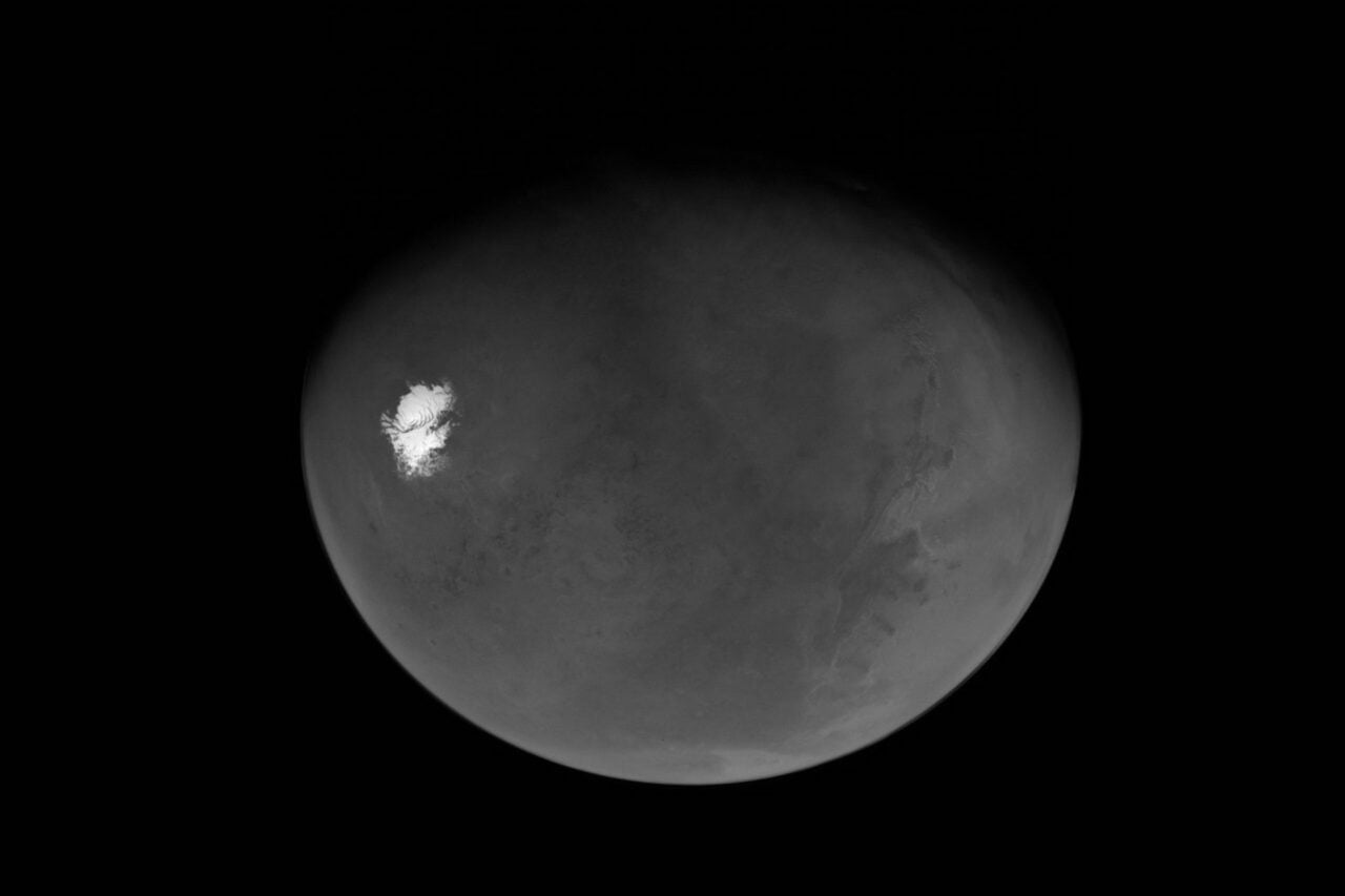
Dust storm tracked by the Mars Reconnaissance Orbiter on November 25, 2012.
Image credit: JPL. For more on the role of women in the history of planetary science, learn about the earliest computers, or JPL’s rocket-science chemists.