When I was a grad student in architecture school in the 80s, one of our professors was on a mission. Every semester he’d give a design project in downtown Manhattan, asking his students to spend the first two weeks of the term building a beautiful wood model of the surrounding site. The next year he would move to a new site, adjacent to last year’s. Over the years his students built a humongous wood model of lower Manhattan, and each successive generation got the benefit of their predecessor’s slowly accumulating analog “database” of Manhattan architecture.
As the world becomes more urbanized, today’s architects are likely to be working on projects that might be new construction or renovations of existing buildings. Some studies suggest that, at least in the U.S., renovation spending will outstrip new building as we fill these cities to the brim with places to work, live and play.
Either way, today’s architecture projects have to meet the challenges of sustainability, resilience and performance unimaginable when we were building those wood models. The designs have to fit into and connect to all the systems of the city—transportation, energy, views, services, you name it.
Image courtesy of DPR Construction
The days of the “iconic object” designed despite of, rather than in concert with, its surroundings, are over.
So you can see that scale models, however beautifully made, are hardly up to the job of understanding how a building operates in the context of a city, and city planners are beginning to realize that they, and the architects with whom they collaborate, need more insight.
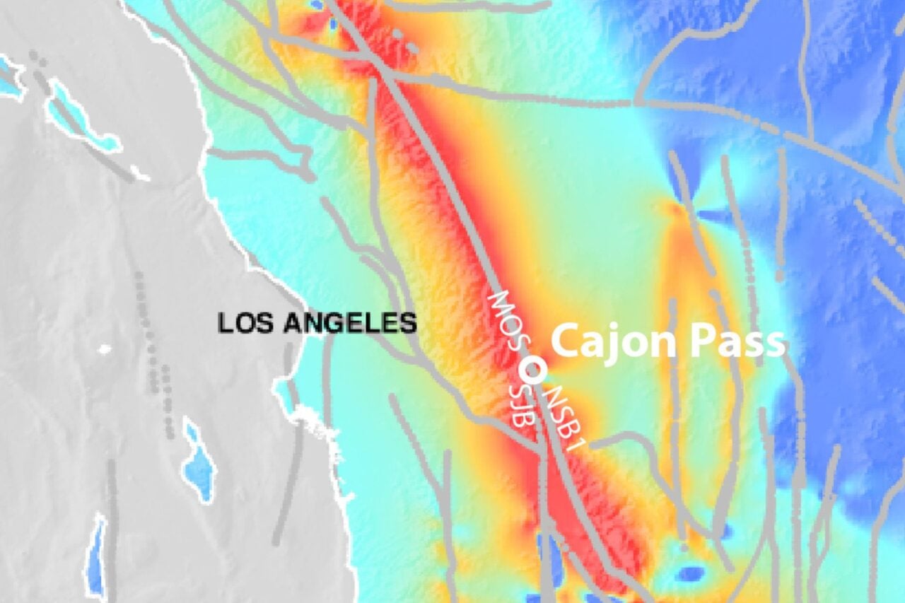
Efforts are underway in cities like Los Angeles, Chicago, and Boston to digitize not just the shapes and locations of the buildings on their sites (leaving our wood model behind) but rich digital models of the city itself—complete with view corridors, energy and water distribution, transportation simulations, even carbon footprint.
A flyover of Los Angeles using Autodesk InfraWorks
The Los Angeles project is moving quickly on this front, having compiled a digital model that covers 5,700 square miles, hundreds of thousands of miles of roads and over three million buildings. They can track storm water drainage, sewage lines below the surface, the emerging light rail and subway systems, seeing all this stuff in context as it fits into the natural and man-made landscape. Overlaying data collected from the utility grid and water supply systems designers can reason about consumption, conservation and the specific effects their project will have on the city itself.
Compiling and integrating all this data is challenging but possible in the age of cloud computing and high-resolution computer graphics. You have to be able to see and use all this information when designing a building to really gain the benefits of architecture created in digital context. Plugging your project into a virtual simulation of the city means really understanding how it will work in it surroundings and specific environment.
Visualizing carbon emissions in New York City, courtesy Autodesk
Detailed building design benefits from the same insights gleaned from high-resolution digital models. The city model tells you where the water and power come from, how the sun moves over the site, and where the wind might be expected, and that information drives the design of the selection of glass, heating and cooling systems, and ventilation.
The Wilshire Grand in downtown LA, currently rising to 73 stories, will soon be the tallest building west of the Mississippi. Its designers are using the cloud to understand, simulate and visualize the immense complexity of the building’s mechanical, electrical and plumbing systems—including how those systems are fed by city services.
The Shanghai Tower’s torqueing design based on urban wind flow simulations. Image courtesy of Shanghai Tower Construction and Development Co., Ltd. Rendering by Gensler.
In another example, the designers of the soon-to-be world second tallest building, the Shanghai Tower, conducted wind simulations based on urban data in that typhoon-prone city. They were able to adapt their design with a 120 degree twist of the façade to reduce wind sheer—thereby cutting the amount of structural steel and glass used by the building, and saving the owners a cool $58 million in the process.
Even more ambitious plans for this kind of insight and technology are underway in Singapore, where the government aims to become the world’s first “smart nation.” Building on its impressive emergence as internet infrastructure hub for Asia Pacific, the city-state is now moving to create an incredibly data-rich digital model of its built environment, going beyond simulating wind flows around buildings to include other dynamic traffic patterns such as pedestrians, noise, rain and flood water, sunlight, data signals, even disease movements.
Modern designs are moving from individual models of these components to connected systems that yield the design. And architects, especially those working in urban environments, are becoming systems thinkers in the grandest sense of the term.
We can only expect better buildings—and better cities—as a result.
Phil Bernstein is VP for Strategic Industry Relations at Autodesk and a member of the faculty at the Yale School of Architecture.
Top image: A 3D model of LA, courtesy Autodesk