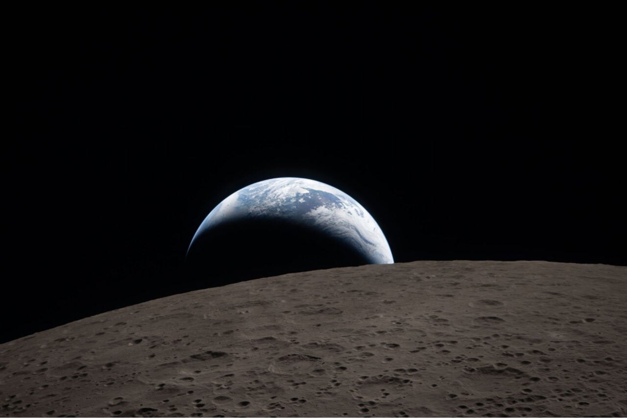
Since the launch of the Landsat program in 1972, generating images of Earth from space has been the near-exclusive domain of enormous, multi-million dollar satellites sponsored by nations and major defense corporations. But these new micro-satellites, recently launched from the ISS, aim to make real-time imaging available for a fraction of the price.
Designed, built, and operated by San Francisco-based Planet Labs, the micro-satellite (aka “CubeSats”) system consists of 28 12- x 4- x 4-inch-tall imaging satellites, individually known as Doves, and collectively known as Flock 1.
These CubeSats are constructed largely from low-cost, non-traditional components, which drastically reduces the cost of each unit. The Flock was first delivered to the ISS last December aboard Orbital Sciences’ robotic Cygnus vessel, and were released from the ISS using the station’s on-board cube cannon.
The fleet of Flockers, like the Landsat mission before them, capture imagery of Earth for humanitarian, environmental, and commercial projects—and make all of their data available, for free, for anyone who wants it. The system automatically handles the image capture, storage, and transmission processes, beaming them down to a Planet Labs ground station, which then processes the images and publishes them on the web. This makes them an ideal compliment to existing higher-resolution systems like UAVs, or conventional imaging satellites.
“We believe that the democratization of information about a changing planet is the mission that we are focused on, and that, in and of itself, is going to be quite valuable for the planet,” Robbie Schingler, co-founder of Planet Labs, told Discovery. “One tenet that we have is to make sure that we produce more value than we actually capture, so we have an open principle within the company with respect to anyone getting access to the data.”
Unlike the massive orbital prying eyes of earlier Earth Imaging satellites, each Dove only resolves down to 10 to 16.5 feet (3 to 5 meters)—enough to monitor deforestation rates or agricultural yields, or track the melting of the polar ice caps and seasonal natural disasters—but not strong enough to, say, track a human-sized target.
“Things that were once the province of huge 10-ton satellites are now in these tiny things. That’s what enables us to generate a data set that is unprecedented in terms of coverage and cadence,” company co-founder and chief executive Will Marshall told Discovery News.
And though the resolution isn’t as powerful as other systems, Flock 1 will provide continuous, always-on imaging of the planet between the equator and the 52 parallel. Google Earth is about to get some serious competition. [Citizens in Space – Space – Planet Labs – NASA]
Images: Planet Labs