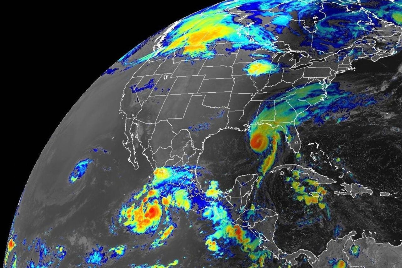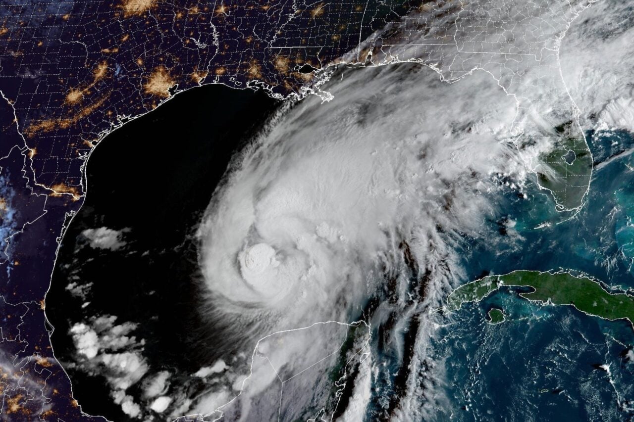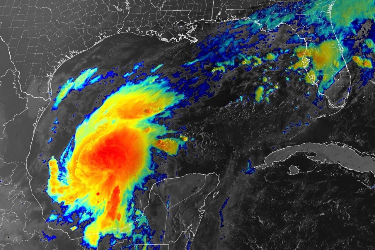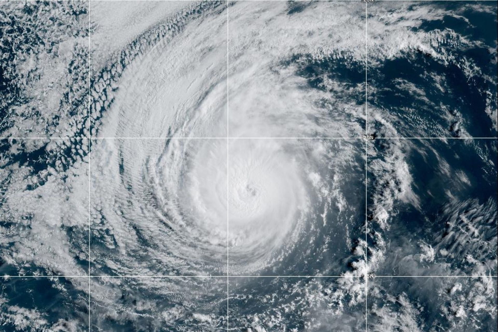
Hurricane Karina, a Category 4 cyclone currently churning over the eastern Pacific Ocean, was merely a tropical storm until Sunday. That day, it rapidly intensified, becoming a major hurricane in a matter of hours.
Fortunately, forecasters do not expect Karina to make direct landfall. But research has shown that climate change is increasing the risk of rapidly intensifying cyclones while also causing storms to reach their maximum strength closer to land. This poses a major risk to coastal communities, as rapid intensification is notoriously difficult to forecast. That’s largely because it’s influenced by complex interactions between the ocean, the atmosphere, and the center of the cyclone that models struggle to capture at once.
A new study, however, has uncovered one factor that could serve as an early warning sign of rapid intensification. The findings, published Monday in the journal Proceedings of the National Academy of Sciences, show that horizontal sea-surface temperature gradients (SSTGs) play a key role in cyclone intensification and may be able to help forecasters determine whether a storm is likely to rapidly intensify.
“We do not see SSTGs as a standalone predictor, but rather as an additional oceanic signal that could complement existing forecasting tools and is not yet well represented in many operational systems,” co-author Zhengguang Zhang of the Ocean University of China told Gizmodo in an email.
Weaker gradients produce stronger storms
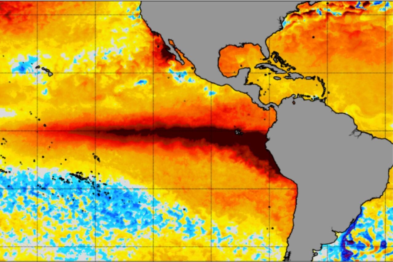
Warm ocean water is the main source of energy for tropical cyclones. In general, the higher the sea surface temperatures beneath a storm, the more likely it is to organize and strengthen.
“In this sense, the ocean acts as the fuel reservoir for a tropical cyclone,” Zhang explained. “If the ocean surface cools substantially as the storm passes, that energy supply is reduced, which can slow or limit further intensification.”
The ocean is highly stratified, with cold, dense water lying beneath warm, less-dense water near the surface. The powerful winds of tropical cyclones mix up these layers, which cools the surface and decreases the amount of energy available to the storm. In this way, cyclones moderate their own intensification, but whether horizontal temperature gradients at the surface influence intensification has not been well understood.
“A sea surface temperature gradient simply describes how quickly ocean temperature changes over a horizontal distance,” Zhang explained. “For example, if relatively warm and cold water are separated over only a few kilometers, the temperature gradient is strong. If temperature changes only slightly over the same distance, the gradient is weak.”
He and his colleagues analyzed data on tropical cyclones that occurred around the world between 2003 and 2022. Using kilometer-scale satellite measurements of sea surface temperatures, they measured horizontal gradients several days before each tropical cyclone passed over a given area of the ocean and compared them to the amount of surface cooling produced by the cyclone as well as the cyclone’s subsequent intensity change.
The results pointed to a potential signal: Weak horizontal SSTGs appear to reduce a storm’s cooling effect, thus favoring cyclone intensification. Indeed, tropical cyclones that developed over weak SSTGs reached intensities up to 40% higher than those over strong gradients, and about 70% of the strongest bouts of rapid intensification occurred under weak pre-storm SSTG conditions.
High-resolution satellites can detect kilometer-scale SSTGs several days before a cyclone arrives, providing insight into how likely the ocean is to cool beneath the storm—and, in turn, the storm’s potential for rapid intensification.
“Of course, SSTGs are only one part of the picture,” Zhang clarified. “Atmospheric conditions, upper-ocean heat content, vertical wind shear, moisture, and many other factors remain critical for rapid intensification.”
More rapid intensification on the horizon?
Another key finding from this research is that SSTGs across tropical cyclone-producing ocean regions have weakened about 10% per decade since 1993. This is alarming, as it will likely lead to more bouts of rapid intensification in the future.
While the reason for this trend remains unclear, Zhang said it could be related to global warming. “As the tropical ocean warms, sea surface temperatures across different regions may become more similar,” he explained. “The warmest waters may be relatively constrained by strong evaporation and atmospheric convection, while cooler surrounding waters continue to warm, reducing the temperature contrast between regions.”
“Changes in large-scale ocean circulation, stratification, mesoscale activity, and atmospheric forcing could also contribute,” he added.
Getting to the bottom of this will require further investigation, but Zhang and his colleagues have clearly uncovered an important force influencing cyclone intensification. As climate change makes these storms even more dangerous, untangling the complex web of factors that cause them to explode in strength is becoming ever more urgent.