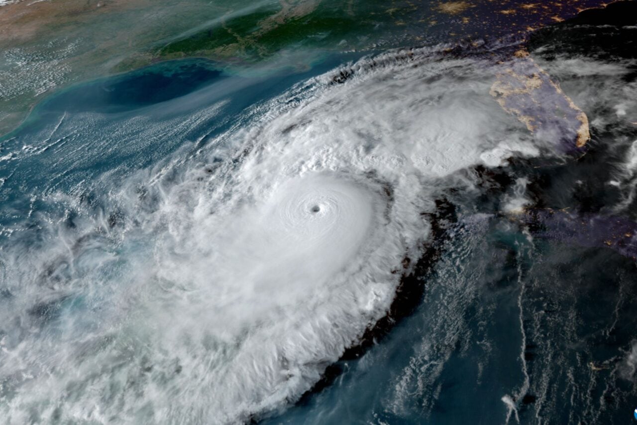
Hurricane season begins June 1, but the tropics are coming alive a week ahead of schedule. A disturbance near the Yucatan Peninsula is starting to get organized, and there’s a high chance it could be a tropical depression by this weekend. Even if it doesn’t build into a tropical system, the storm will still bring boatloads of rain to ruin Memorial Day weekend barbecues across the Gulf Coast.
The amorphous blob of clouds and thunderstorms stretching from Belize to Cuba doesn’t look like much yet. Winds in the upper atmosphere are keeping the storms from organizing, but that’s likely to change as the system lumbers north into the Gulf of Mexico. In its Thursday morning forecast, the National Hurricane Center gave the system—dubbed Invest 90L—a 40 percent chance of turning into a tropical depression or storm in the next 48 hours, and an 80 percent chance over the next five days.
“Environmental conditions are forecast to become more conducive for development through early next week, and a subtropical or tropical depression is likely to form by late Saturday over the southeastern Gulf of Mexico,” forecasters wrote.
Meteorologists have been watching for this storm for a while.
“This system has been in the global models for at least the past 10 days,” Brian McNoldy, a hurricane expert at the University of Miami, told Earther.
What kind of tropical system it could develop into is still up in the air. The first step would be a tropical depression, which is a spinning storm with a warm core (nor’easters and extratropical cyclones have cold cores) and winds up to 38 mph. Tropical depressions don’t get named. To get a name—which in this case would be Alberto—winds would have to cross the 39 mph threshold, making it a tropical storm. McNoldy said there’s a “slim shot at low-end hurricane if everything aligns,” though that’s a very big “if.”
Twelve tropical depressions and storms have reached the Gulf of Mexico in May since 1842, the start of the National Oceanic and Atmospheric Administration’s record books. Just three of those storms have formed in the Gulf, though. A total of 32 tropical depressions, storms, and hurricanes have formed in the Atlantic hurricane basin in May since record keeping began (two storms also crossed over from the Pacific basin).
So if this storm goes tropical, it would certainly be weird but not unprecedented. Heck, a tropical system almost formed in the Gulf just a few weeks ago.
And in recent years, tropical storm systems outside of hurricane season have been more common. That includes last year when the first tropical storm of the season formed in April, and 2016 when the first hurricane of the season formed in January (2016 also had a May tropical storm).
The January storm was legit rare, though McNoldy argued he would include that meteorologically in the 2015 hurricane season. Despite that quibble, he shared data with Earther showing that the first named storm of the season has been getting earlier over the past 30 years.
While there’s a lot of focus on the will-it-or-won’t-it question with this latest storm system, one thing that is sure is that it’ll dump a ton of rain on already-saturated locales. Over the next five days, up to seven inches of rain could fall from Mississippi to Florida.
The biggest concern is in west and central Florida, where some locations are in the midst of their wettest month-to-date on record. Heavy rain on saturated soils could lead to flooding, ruining holiday weekend cookouts and family trips to Disney World.


