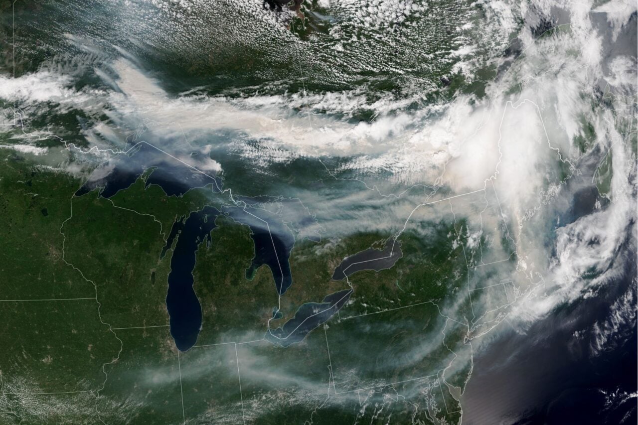
With the start of the Atlantic hurricane season less than two months away, experts are looking to models to predict how severe its impact might be. The latest forecast from Colorado State University’s Tropical Meteorology Project is looking good.
In a report published April 9, CSU experts predict below-normal cyclone activity in the Atlantic basin this season, with 13 named storms, 6 hurricanes, and just 2 major hurricanes (Category 3 or greater). That’s because the Pacific Ocean is transitioning to El Niño over the next few months, with a potential for a moderate-to-strong El Niño during the peak of hurricane season. In fact, some models are predicting a “super” El Niño.
“We anticipate El Niño being the dominant factor for the upcoming hurricane season,” the report reads.
How El Niño suppresses the Atlantic hurricane season
Under normal Pacific Ocean conditions (also known as ENSO-neutral) trade winds blow west along the equator, transporting warm water from South America to Asia. Cold water then rises from the depths to replace that warm water in a process called upwelling.
El Niño and La Niña are two opposing climate patterns that disrupt these normal conditions. Together, they’re known as the El Niño-Southern Oscillation (ENSO) cycle. During El Niño, surface water temperatures are warmer, trade winds are weaker, and there is more rain in the central and sometimes eastern Pacific. La Niña brings the opposite: cooler surface water, stronger trade winds, and less rain in the central Pacific.
El Niño conditions suppress hurricane activity in the Atlantic due to stronger winds in the upper atmosphere that can destroy the structure of a cyclone, also known as high vertical wind shear. The stronger the El Niño, the more difficult it is for Atlantic hurricanes to form.
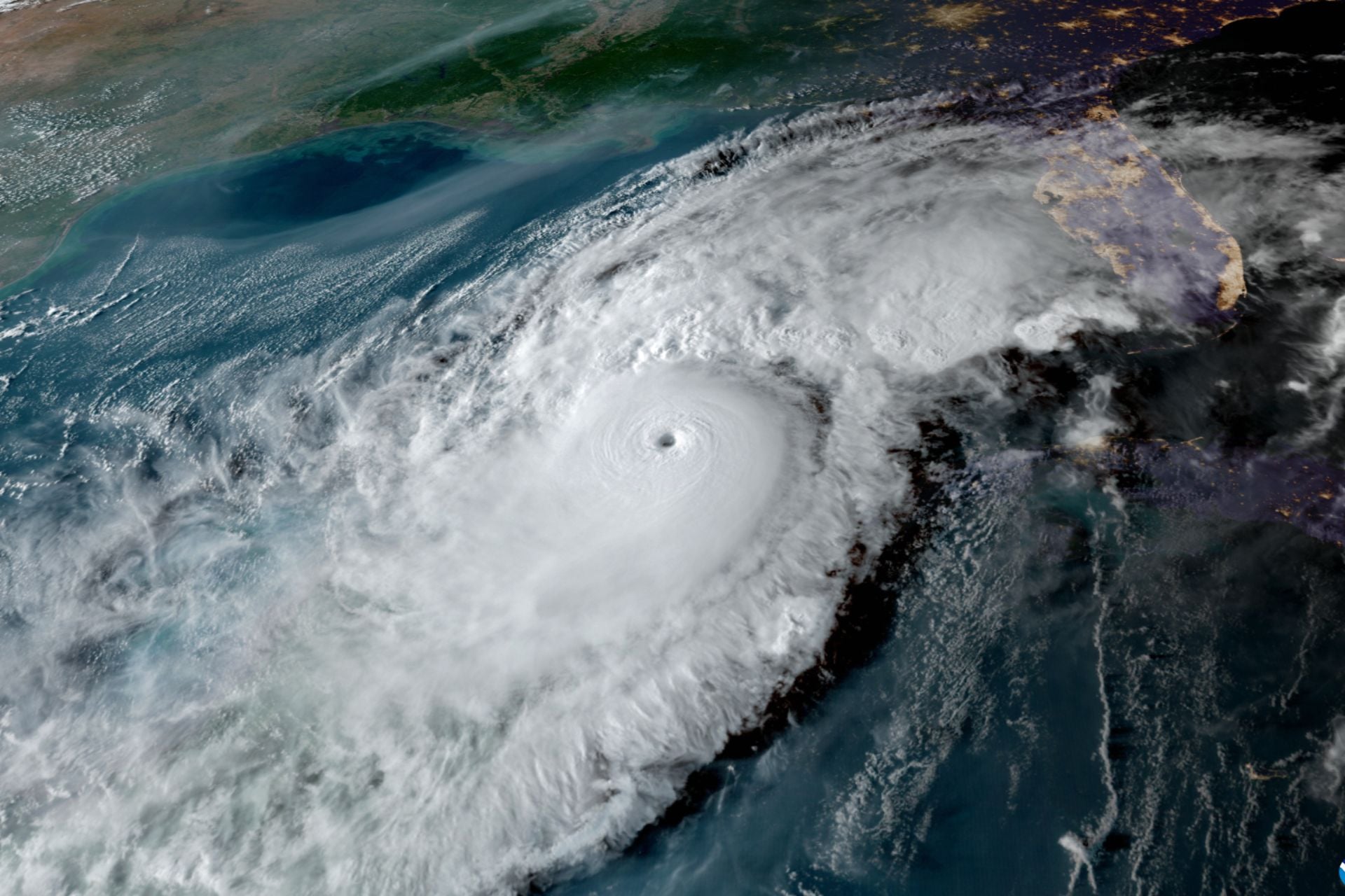
It only takes one landfall
According to the National Oceanic and Atmospheric Administration, current ENSO-neutral conditions will likely persist through June, then transition to El Niño by July.
There is a 1 in 4 chance that a super El Niño could form, which is when Pacific sea surface temperatures rise at least 3.6 degrees Fahrenheit (2 degrees Celsius) above average. But this will depend on whether westerly wind anomalies continue across the equatorial Pacific this summer.
If a super El Niño does take shape, we can expect a very quiet Atlantic hurricane season. However, CSU forecasters caution against complacency. While El Niño suppresses Atlantic hurricane formation, it can drive more tropical storms and cyclones in the eastern Pacific.
According to the CSU analysis, there’s still a 32% chance of a hurricane making landfall somewhere on the continental U.S. coastline.
“As with all hurricane seasons, coastal residents are reminded that it only takes one hurricane making landfall to make it an active season,” the report states. “Thorough preparations should be made every season, regardless of predicted activity.”
The strength of this burgeoning El Niño will become clearer as summer approaches, and NOAA should release its own Atlantic hurricane season forecast within the next few weeks. No matter what comes, it’s always better to be overprepared than underprepared.