An early-season heatwave sent temperatures soaring well above average across the East this week, breaking records in several cities. Forecasters expect the unseasonable warmth to linger as we head into the weekend, but it won’t stick around much longer.
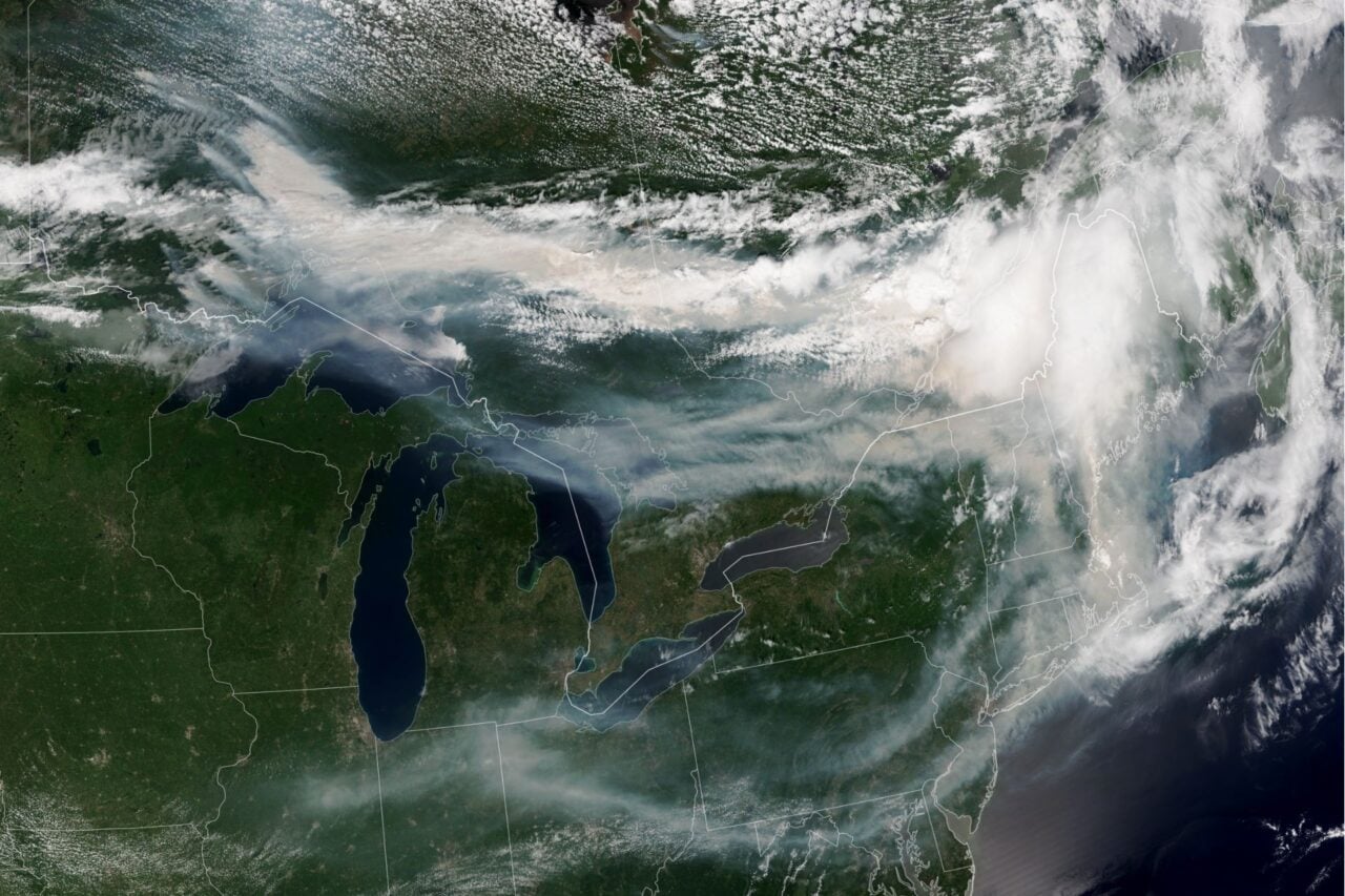
A cold front emerging from Alaska will sweep southeastward today, bringing much lower temperatures and a chance of wintry precipitation to the parts of the Rockies, the High Plains, the Upper Midwest, and the Upper Great Lakes. The front will trek farther east on Saturday, increasing the risk of thunderstorms from southern Texas to the Northeast through Sunday.
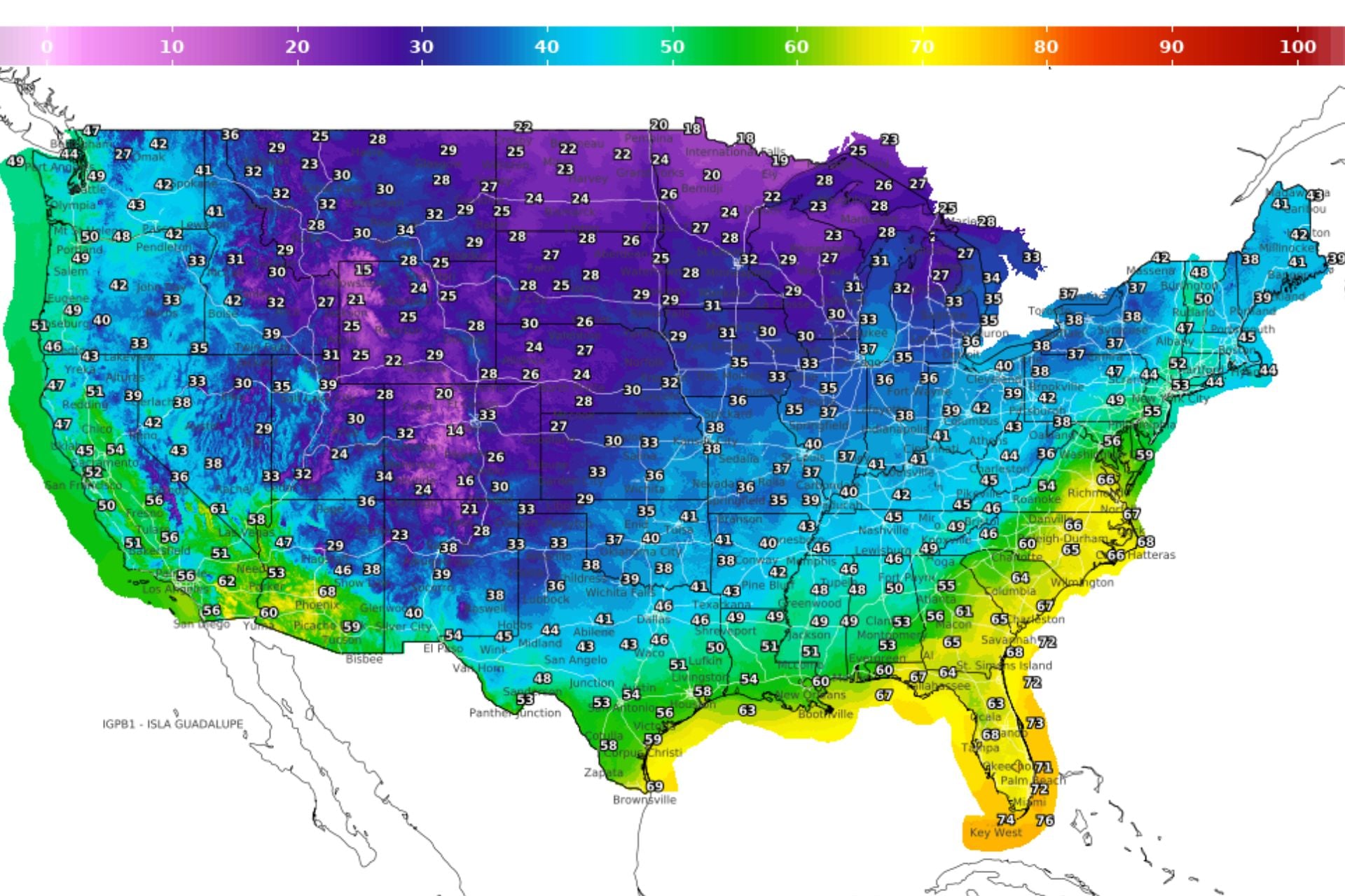
Parts of the country that are still experiencing summer-like heat today could see daytime high temperatures plummet more than 30 degrees Fahrenheit (17 degrees Celsius) over the next 24 hours. According to meteorologist Ben Noll, nearly 100 million people from Boise to Boston and southward to Philadelphia can expect freezing temperatures this weekend and early next week.
Thanks, Alaska
While spring is notorious for whiplash weather, it is unusual to see such a rapid transition from record-breaking warmth to wintry conditions. We have Alaska to thank for this abrupt shift.
According to Noll, about 76% of the planet has been experiencing above-average temperatures since March, with Alaska part of the exception. There, it’s been consistently colder and than average due to an area of strong high-pressure in eastern Russia. Air circulating clockwise around this system has been blasting the state with frigid northerly winds from the Arctic Ocean.
A large dip in the jet stream is now shifting east and dragging that cold air into the contiguous United States, according to the National Weather Service. Forecasters expect daily highs to tumble from the 70s, 80s, and even 90s Fahrenheit (20s–30s Celsius) into the 40s–70s F (single digits to 20s C) across much of the Midwest, Ohio Valley, Mid-Atlantic, and Southeast.
The cold may be here to stay
This week’s taste of summer may be the last warm spell for a while. An area of high pressure expected to form over Greenland next week will likely cause the jet stream to dip over the eastern U.S., allowing more cold air to spill in from the Arctic. This should increase the chances of below-average temperatures through the second half of April, according to Noll.
He predicts that these cooler conditions could help suppress severe thunderstorm activity across the central U.S., which has seen multiple bouts of tornadoes, large hailstorms, and heavy rainfall over the past few weeks. Increased chances of wintry precipitation across the Intermountain West could also help alleviate the snow drought.
So, if you put away your winter coat this week, you may want to haul it back out of the closet. But if forecasts for a strong El Niño hold true, a warmer-than-average summer should more than make up for this unseasonably cold pattern.