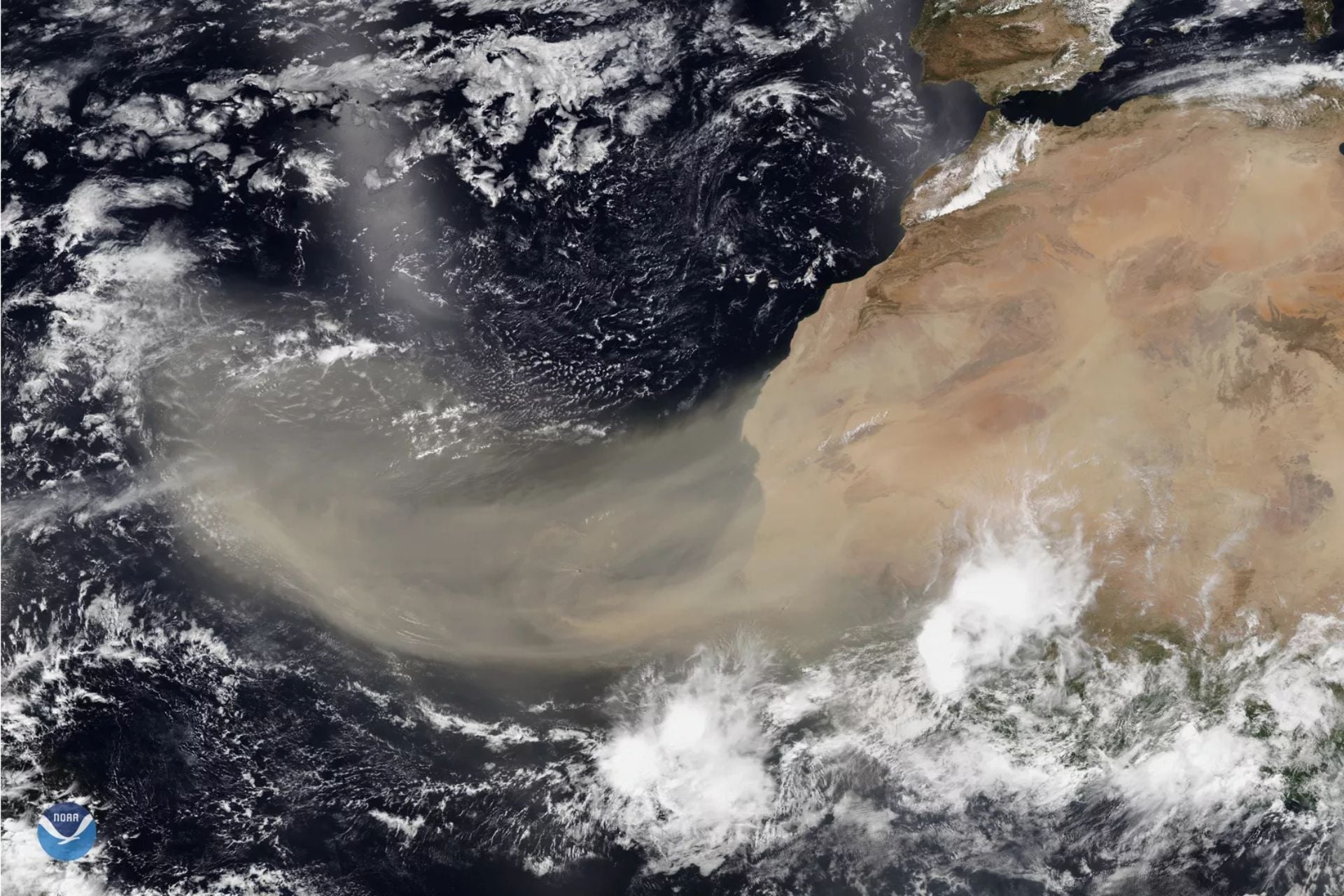
The Sahara Desert is once again sending enormous plumes of dust across the Atlantic, and parts of the U.S. are already feeling the effects.
Dry, dusty Saharan air reached Florida on June 27 before continuing west, arriving in Texas on Monday. Now, it’s heading north into the Great Lakes Region. Another dust cloud is on track to reach Puerto Rico and the U.S. Virgin Islands today, so it’s possible that Florida could receive another blast of desert air over the July 4th weekend.
Meteorologists say most of the dust will stay aloft high in the atmosphere rather than falling to the ground, so it’s unlikely to have a significant impact on air quality. With that said, affected areas should still see hazy conditions, vivid sunsets, increased temperatures, and suppressed storm activity through the holiday weekend.
Saharan dust on the move
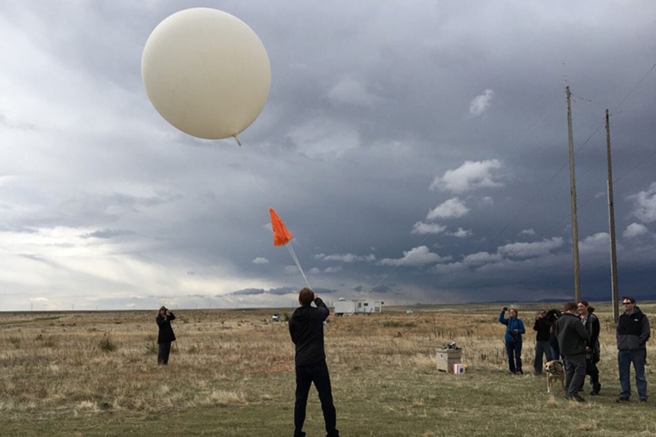
These intruding air masses are part of the Saharan Air Layer, or SAL, which forms over northern Africa from late spring to early fall each year. It’s created by tropical waves (ripples in the lower-to-middle atmosphere) that track along the southern edge of the Sahara Desert and waft tons of dust up into the atmosphere, NOAA meteorologist Jason Dunion explained in a 2020 interview.
Easterly trade winds then cause the SAL to move westward across the Atlantic in what’s known as an “outbreak.” This activity peaks between late June and mid-August, with outbreaks occurring every three to five days and stretching farther west, occasionally traveling some 5,000 miles across the ocean to reach the United States.
As of today, the National Weather Service has not issued any air quality alerts in areas affected by airborne dust, though inhaling these particles can irritate respiratory systems and worsen allergies, asthma, and other respiratory conditions. Dust can also trap heat near the ground, so these SAL outbreaks could exacerbate the effects of a heat wave stretching across the eastern U.S. this week.
The impacts aren’t all bad, however. High concentrations of airborne dust enhance the bright red and orange created when low-angle sunlight passes through the atmosphere, according to the National Oceanic and Atmospheric Administration. That means states visited by the SAL can expect especially vivid sunrises and sunsets this week.
What’s more, the warmth, dryness, and strong winds associated with these desert air masses are known to suppress cloud and storm formation, Weather Channel meteorologist Caitlin Kaiser explains. While this will help keep skies clear for fireworks displays and other outdoor activities this weekend, it can further drive up temperatures by stifling cooling thunderstorms. The SAL’s presence can also prevent hurricanes from forming, but the National Hurricane Center is not currently tracking any disturbances in the Atlantic Basin.
The Sahara will continue churning out plumes of dust across the Atlantic for weeks to come, so this won’t be the last time the eastern U.S. sees hazier skies, more vibrant sunsets, and oven-like weather this summer.