El Niño has arrived, which means we’re probably about to see some shifts in North American weather patterns. While the effects of El Niño are most significant in the winter, all that extra heat emanating from the Pacific Ocean can influence summer weather, too.
The stronger the El Niño, the more likely it is to produce wild weather, and this one looks like it’s going to be a doozy. According to the latest update from the National Oceanic and Atmospheric Administration (NOAA), there is a 63% chance that this El Niño will become “very strong” by November. It’s still developing but strengthening rapidly, with sea surface temperatures jumping from 1.26 degrees Fahrenheit (0.7 degrees Celsius) above average in early June to 1.98 degrees F (1.1 degrees C) above average by mid-June.
So what does this mean for summer weather in the United States? The short answer is: It’s complicated. El Niño impacts vary significantly by region, and the expected outcomes aren’t guaranteed, even during a particularly strong El Niño. With that said, experts pointed to certain trends each region of the U.S. may be more likely to experience this summer, from heightened risk of storms to more severe heat waves.
How El Niño shifts North American weather patterns
El Niño is the warm phase of the El Niño-Southern Oscillation (ENSO), a naturally recurring climate phenomenon in the equatorial Pacific Ocean. ENSO is the biggest driver of year-to-year climate variability on Earth.
During El Niño, sea surface temperatures rise above average. As the trade winds weaken and warm Pacific water sloshes to the east, increased heat and moisture rise into the atmosphere and alter weather patterns around the globe. Strong El Niños are more likely to shift the Pacific jet stream, which plays a key role in governing temperature and precipitation patterns across the United States.
When the jet stream moves south of its ENSO-neutral position, the southern U.S. typically experiences an amplified storm track and colder, wetter conditions. In the northern half of the country, the weather shifts toward warmer, drier conditions.
These impacts are much more prevalent in winter than in summer, Emily Becker, a research associate professor at the University of Miami’s Rosenstiel School of Marine, Atmospheric, and Earth Science, told Gizmodo. “El Niño and La Niña—either phase—are in the developing stages in the summer, so they peak in early winter,” she explained. “For that reason, and also because North American weather is governed by different processes in the summer versus the winter, we generally don’t really see very distinct impacts regionally the way we do during the winter.”
With that said, a few regions could still see some potential impacts from El Niño in the upcoming months. Let’s break those down.
What the U.S. can expect during an El Niño summer
The biggest impact El Niño has on U.S. summer weather is suppressing Atlantic hurricane activity, Becker said. As a result, states along the East and Gulf coasts can expect fewer named storms this year, and those that do develop will likely be weaker. NOAA’s seasonal outlook reflects that pattern, calling for below-normal activity in the Atlantic Basin, with just eight to 14 named storms, three to six hurricanes, and one to three major hurricanes.
The Pacific hurricane season will be a different story. During El Niño, warmer sea surface temperatures pump more energy into the atmosphere, helping storms form and intensify. This phase of ENSO is also associated with reduced vertical wind shear, the change in wind speed and direction between altitudes of roughly 5,000 and 35,000 feet (1,500 and 10,700 meters). Wind shear can literally rip storms apart, so reducing this condition also aids formation and intensification. For these reasons, El Niño can amplify Pacific hurricane season, Becker said.
Unsurprisingly, NOAA anticipates above-normal activity in the eastern and central Pacific this summer, with 15 to 22 named storms, nine to 14 hurricanes, and five to nine major hurricanes. California and the Pacific Northwest will therefore be at greater risk of extreme storms this summer.
In terms of more moderate impacts, El Niño could increase precipitation in the Southwest, though we likely won’t see a significant change until late summer or early fall, Dan Collins, a meteorologist at NOAA’s Climate Prediction Center, told Gizmodo in an email. “The stronger impacts can be seen for the Midwest and Great Lakes in the summer, and an El Niño can increase the chances of cooler than average temperatures, and less than average rainfall,” Collins said.
As El Niño tilts the odds toward warmer-than-average temperatures in the northern U.S., forecasters will be on the lookout for heatwaves. “Early-season heat is a major hazard because communities aren’t yet acclimatized; even non-extreme temperature increases can cause health issues for at-risk individuals,” Amanda Reinhart, a meteorologist at NOAA’s Weather Prediction Center, told Gizmodo in an email.
Even though this El Niño is shaping up to be particularly strong, that doesn’t mean severe weather anomalies are guaranteed this summer. “The impacts aren’t necessarily more severe with a stronger El Niño, they’re just more predictable,” Becker explained. “The stronger the El Niño, the more likely that we will see these expected impacts.”
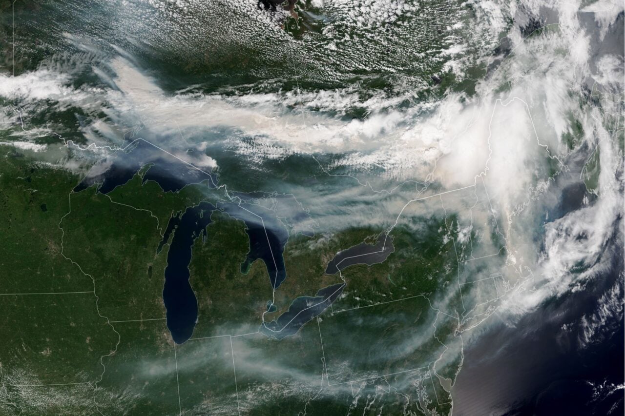
It’s important to note that climate change is already exacerbating extreme weather across the U.S., making it increasingly difficult to distinguish the impacts of natural climate variability from those of long-term warming trends. However, human-caused warming can amplify the effects of El Niño, increasing the likelihood of heavier rainfall and flooding in some regions while worsening droughts and wildfires in others.
El Niño’s influence over U.S. weather won’t arrive in full force until later this year, but meteorologists will be watching closely to see how the summer plays out. In an increasingly volatile climate, understanding and preparing for weather hazards that could affect your region is never a bad idea.