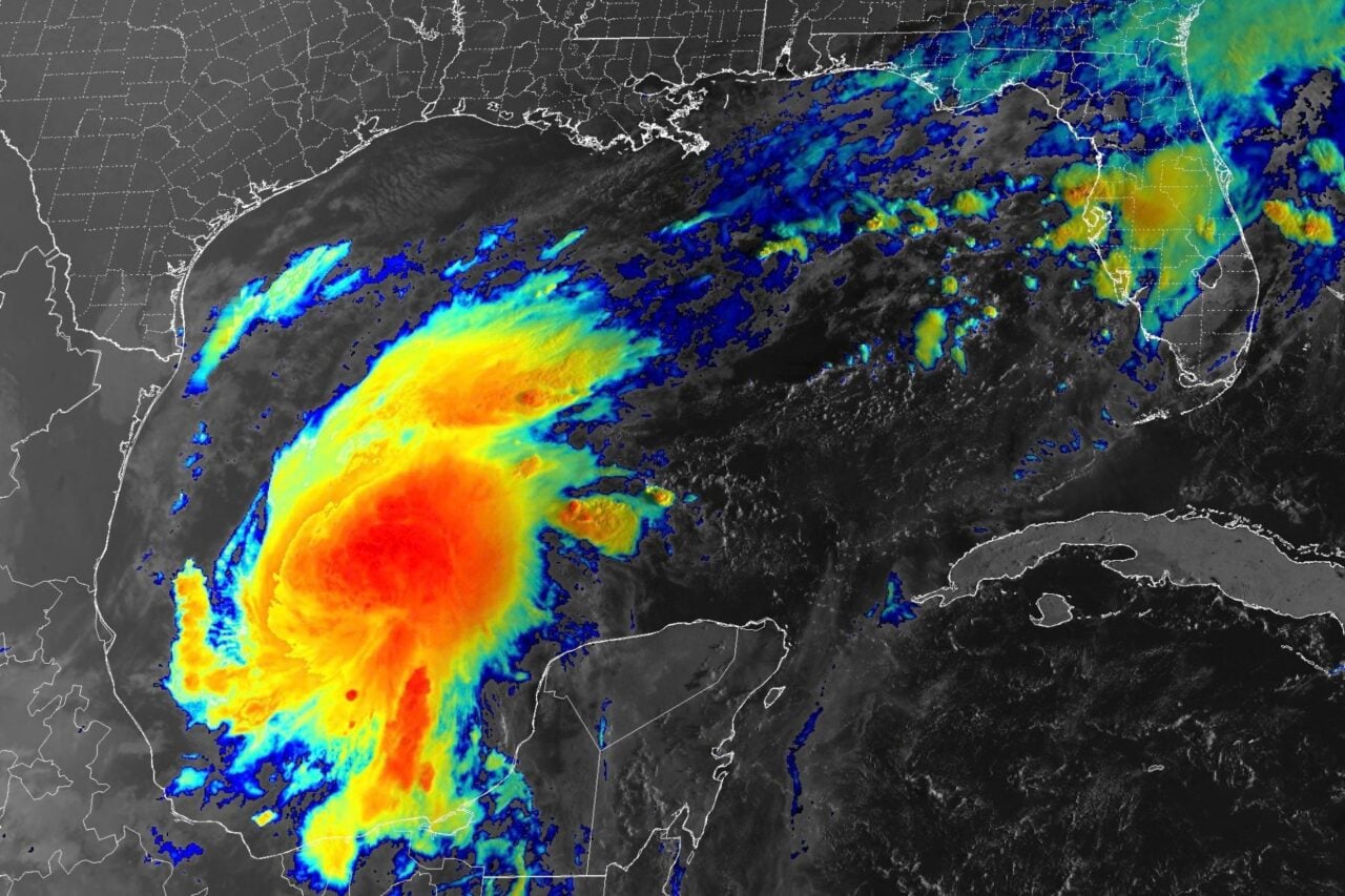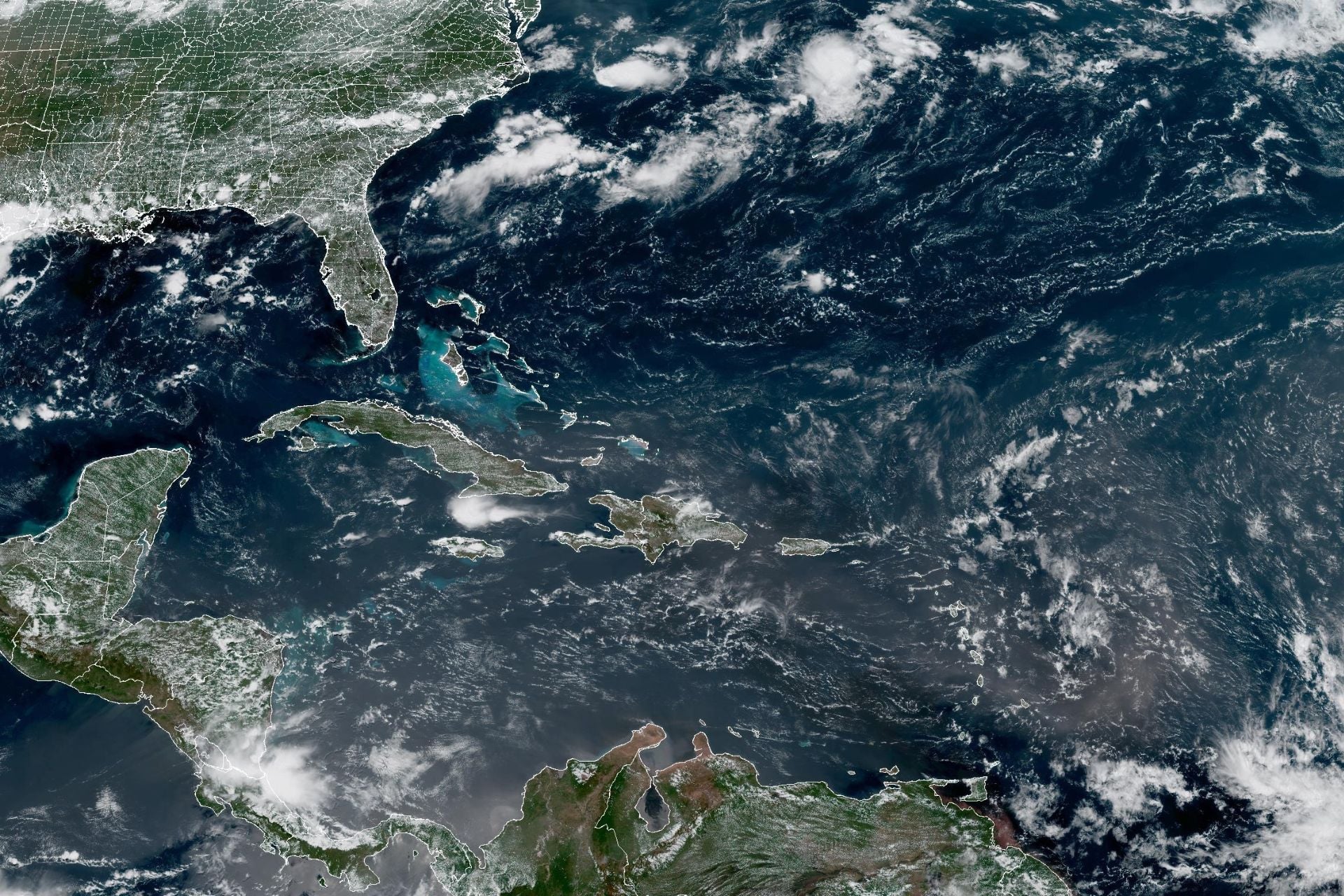
Thanks to a rapidly growing “super” El Niño, Atlantic hurricane activity has been exceptionally quiet this season. Only two tropical storms, Arthur and Bertha, have formed so far, and we have yet to see a single hurricane take shape. There’s a chance that could soon change.
The National Hurricane Center is currently monitoring not one, not two, but three areas of potential cyclone formation in the Atlantic Basin. Of the three, “Disturbance 1,” as federal forecasters are currently calling it, has the highest chance of development over the next week at 60%. Fortunately, it’s located far offshore of the United States, a few hundred miles south of the Cabo Verde islands.
Disturbances 2 and 3 have a 10% chance of cyclone formation in the next week. Disturbance 2 is located about midway between the coast of West Africa and the Western Antilles, while Disturbance 3 is a few hundred miles northwest of Bermuda.
“The easternmost system [Disturbance 1] could become a tropical depression during the latter portion of the week, though nothing is an immediate land threat,” the NHC stated on Sunday.
An awakening Atlantic
While the chances of any of these disturbances becoming a tropical cyclone are still relatively low, this sudden burst of activity is a reminder that we are just one month away from the peak of Atlantic hurricane season.
Last week, the National Oceanic and Atmospheric Administration updated its prediction for the season, forecasting below-average activity with approximately seven to 13 named storms, including two to six hurricanes and zero to two major hurricanes. Those numbers are slightly lower than NOAA’s initial outlook released in May.
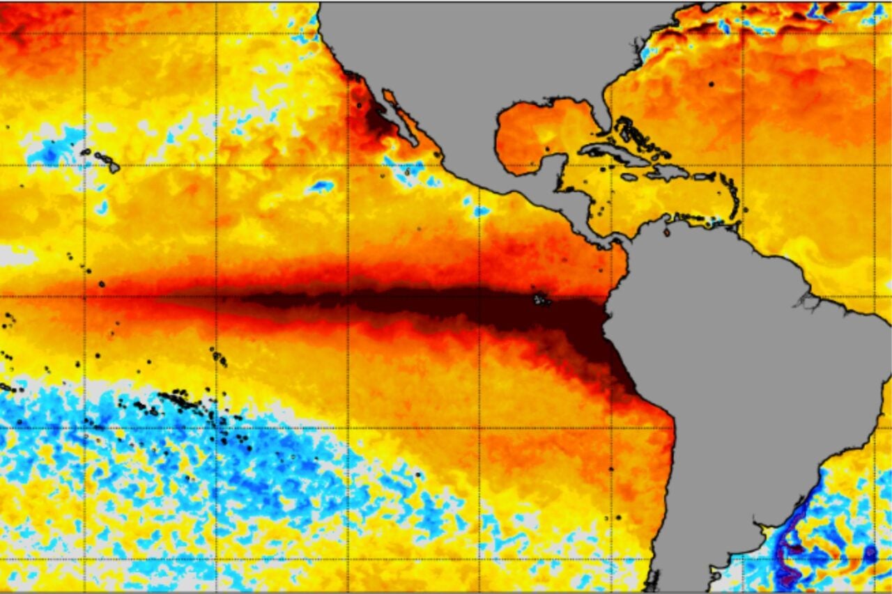
In an average year, we would have seen about three named storms and one hurricane by now, according to NOAA. But this is no average year. El Niño is rapidly strengthening in the Pacific, and forecasts suggest it could become the strongest such event ever recorded.
El Niño suppresses Atlantic hurricane activity by increasing vertical wind shear across the basin, making it harder for thunderstorms to develop into cyclones, according to NOAA. Meanwhile, warmer waters in the eastern and central Pacific basins provide favorable atmospheric conditions and lots of energy for storms to organize and strengthen, which explains why that part of the ocean has been hyperactive this year.
“When El Niño emerges, it usually becomes the dominant factor in total hurricane season activity, and this El Niño continues to get stronger every month,” Matt Rosencrans, lead hurricane season forecaster with NOAA’s National Weather Service, said in a statement when the agency released its updated outlook for the Atlantic hurricane season.
Still, it only takes one landfalling storm to cause significant damage. That’s why forecasters are paying close attention to these three Atlantic disturbances. It’s far too early to say whether any of them will become cyclones, let alone whether they will impact the U.S., but they will certainly face an uphill battle against the growing super El Niño.