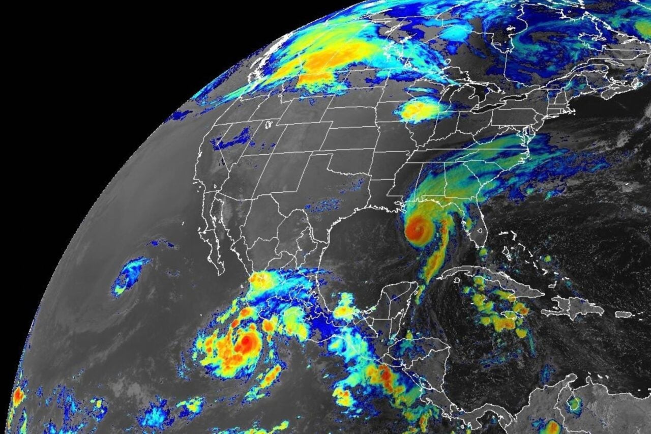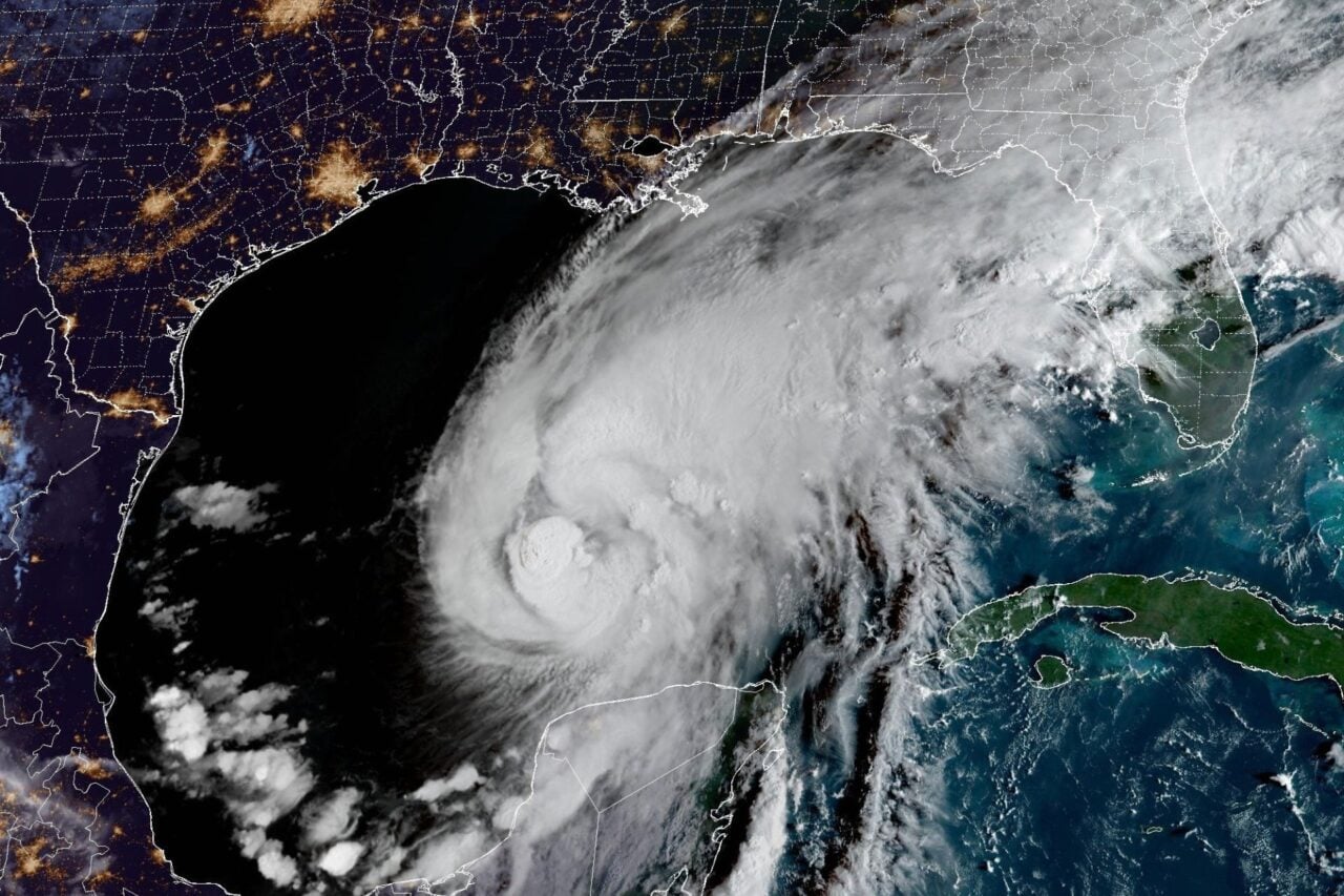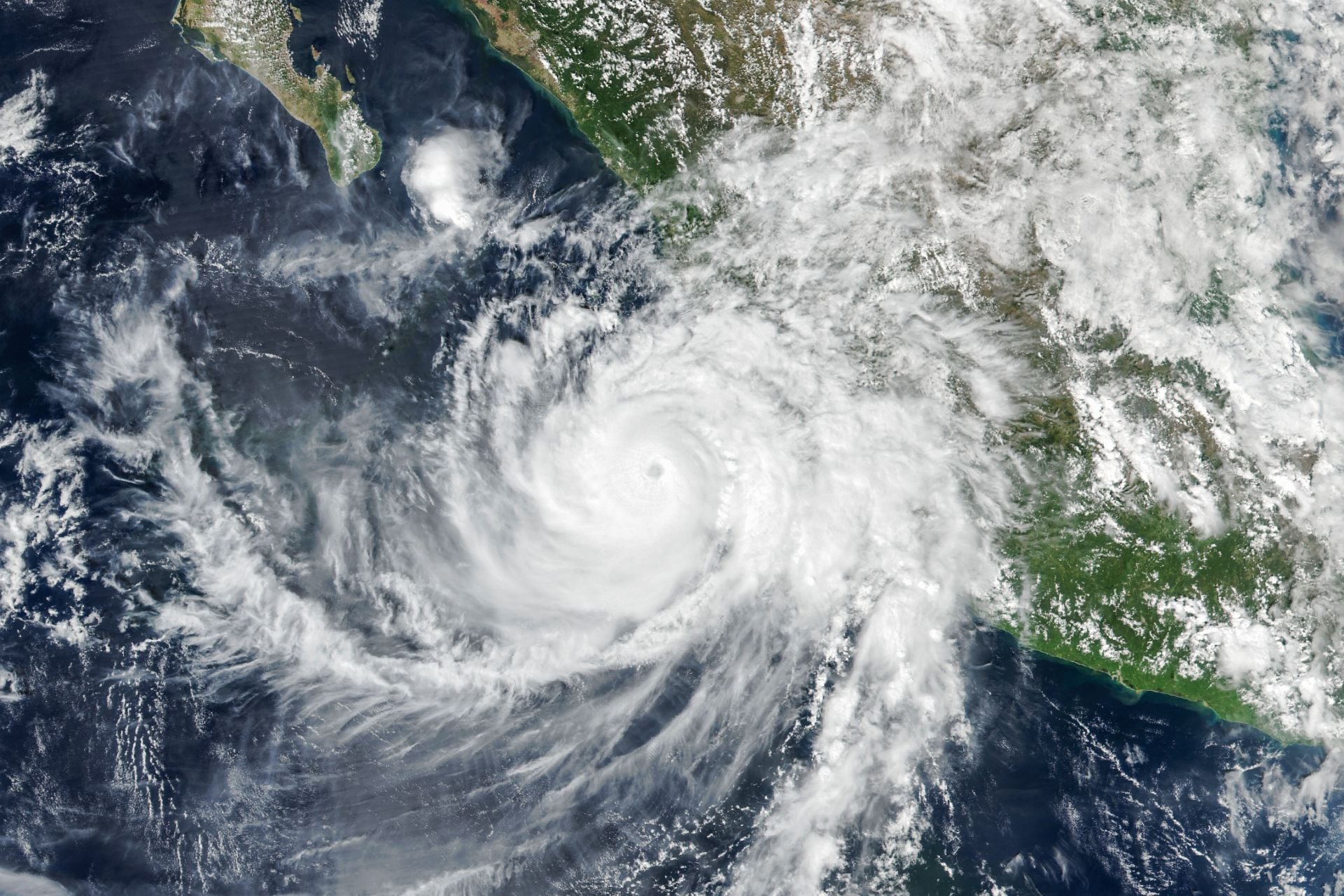
Over the past several days, Hurricane Simon has lashed the Pacific coast of Mexico with torrential rain, damaging winds, and powerful storm surge, forcing evacuations and killing at least six people as it crept northward along the shoreline. While the storm is finally weakening, it remains a Category 1 hurricane that now threatens west-central Mexico and Baja California Sur.
Simon is the 21st named storm, 11th hurricane, and ninth major hurricane of the historic 2026 Pacific hurricane season. Thanks to its sustained organization, the Pacific has now broken its previous record for the most days with a hurricane spinning, Phil Klotzbach, a hurricane researcher at Colorado State University, told Bloomberg.
Klotzbach also told the Associated Press that on Sunday, a section of the Pacific that produces storms bound for Hawaii, Mexico, and the U.S. West Coast broke the record for accumulated cyclone energy (ACE). According to hurricane researcher Michael Ferragamo, the Pacific surpassed the previous record—set in 2018 at 318 units of ACE—by 1.2 units.
“The 2026 Pacific hurricane season is now the most intense on record,” Ferragamo wrote in an X post. “This is largely in part to Hurricane Simon which brought the season to the record.”
El Niño: a Pacific hurricane engine
The basin’s hyperactivity doesn’t appear to be winding down any time soon, as Tropical Storm Trudy just formed in Simon’s wake. The National Hurricane Center expects Trudy to become a major hurricane as it approaches the Pacific coast of Mexico later this week.
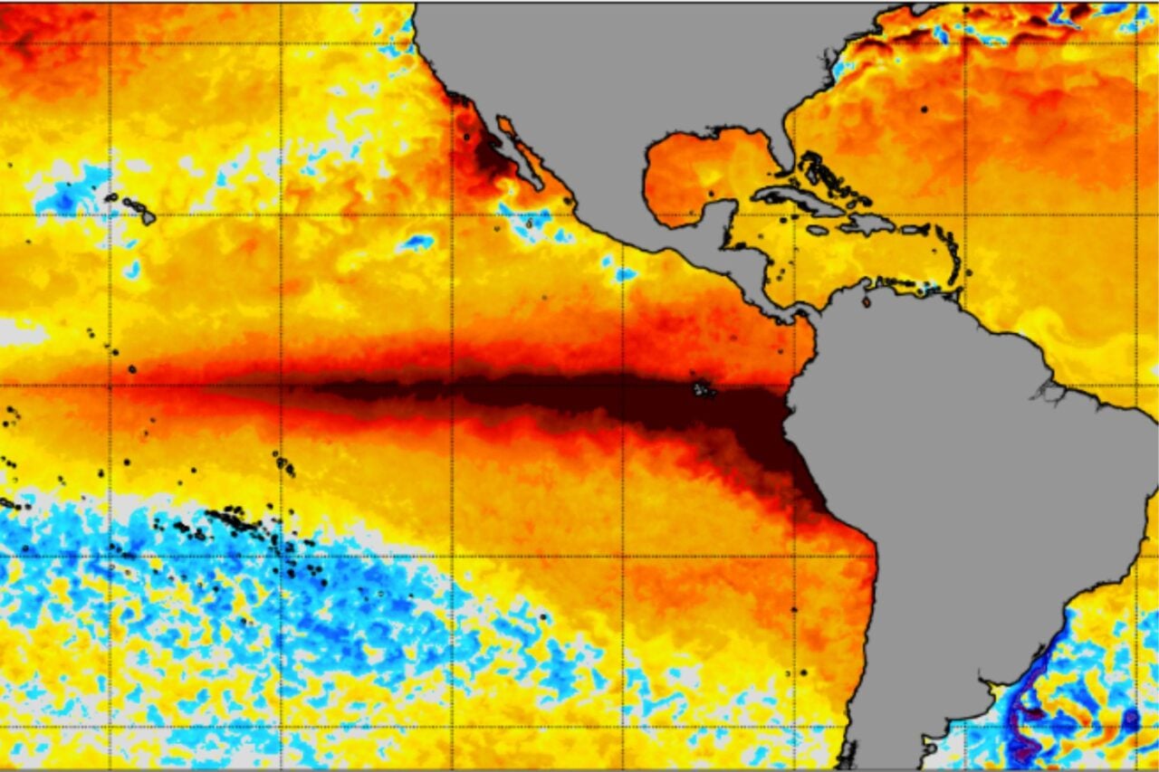
With over a month of hurricane season to go and a record-breaking El Niño still gaining strength, it’s unlikely that Trudy will be the last Pacific hurricane of 2026. El Niño isn’t expected to reach peak strength until December, and it’s already the strongest on record based on sea surface temperatures in the Niño 3.4 region—a key area of the tropical Pacific that scientists monitor for El Niño and La Niña.
According to the latest model projections from the European Centre for Medium-Range Weather Forecasts (ECMWF), Niño 3.4 sea surface temperatures could peak at roughly 7.2 degrees Fahrenheit (4 degrees Celsius) above average by December.
El Niño is the engine keeping Pacific hurricane activity churning. This climate phenomenon boosts Pacific sea surface temperatures while increasing atmospheric moisture and decreasing vertical wind shear over the basin, creating optimal conditions for cyclones to form and strengthen.
When signs of a strong El Niño became clear in May, the National Oceanic and Atmospheric Administration predicted that the oncoming Pacific hurricane season would be hyperactive, but it is on track to exceed expectations. The agency anticipated up to nine major hurricanes, and if Trudy strengthens as forecasted, it will be the tenth.
In fact, the past five Pacific hurricanes have all reached “major” status—a testament to just how cyclone-conducive the basin currently is. Hurricane Polo, which formed in mid-September, set the record for the longest time spent at Category 5 strength at two-and-a-half days.
Hurricane season doesn’t officially “end” until November 30, and it will be interesting to see how the coming weeks unfold as we approach the peak of El Niño. The U.S. West Coast, Hawaii, and Mexico will need to remain on alert for new storm threats.