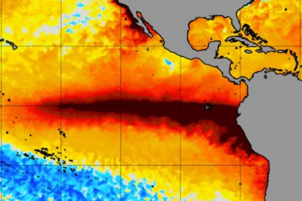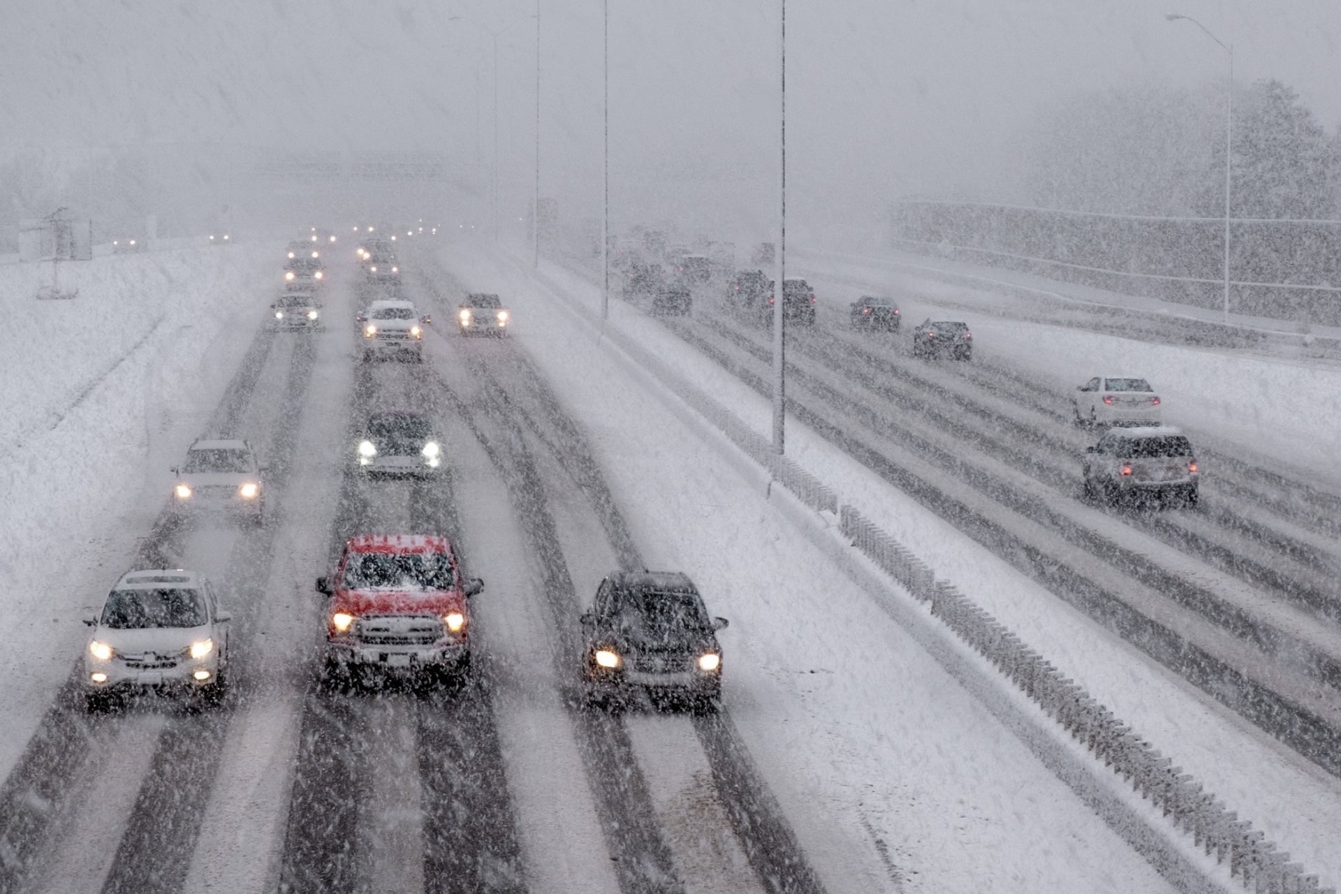
A blockbuster El Niño is still intensifying in the Pacific Ocean, but you wouldn’t know it looking at the snow forecast for next week. Meteorologists say there’s a good chance Thanksgiving will be white for much of the northern United States.
El Niño tends to tilt the odds toward warmer, drier weather across the northern tier of the U.S., but a record-early disruption of the polar vortex—a large current of low pressure and cold air that spins counterclockwise around the North Pole—could send a surge of frigid Arctic air into the U.S. next week. According to meteorologist Ben Noll, cold temperatures and stormy conditions could combine to produce snowfall across the interior Northeast over the holiday.
The Thanksgiving stretch looks stormy in the East. But rain, wind and severe weather aren't the only things to be concerned about.
There could be enough cold air for snow across the interior Northeast — including on Turkey Day itself! Lots to watch ❄️ pic.twitter.com/uzCkpciesZ
— Ben Noll (@BenNollWeather) November 18, 2026
Thanksgiving is still a week away, so it’s too early to predict exactly how much snow could fall—and where. But Noll’s analysis shows that the chances of at least 3 inches (8 centimeters) of accumulation are greatest across the Intermountain West, with low to moderate chances stretching across the northern tier into the Mid-Atlantic and New England.
A new forecast map from Judah Cohen, a leading polar vortex expert and climatologist at the Massachusetts Institute of Technology, offers preliminary predictions for cumulative snow totals through the end of the month. By December 1, parts of the Northeast and Mid-Atlantic could see 6 to 12 inches (15 to 30 cm).
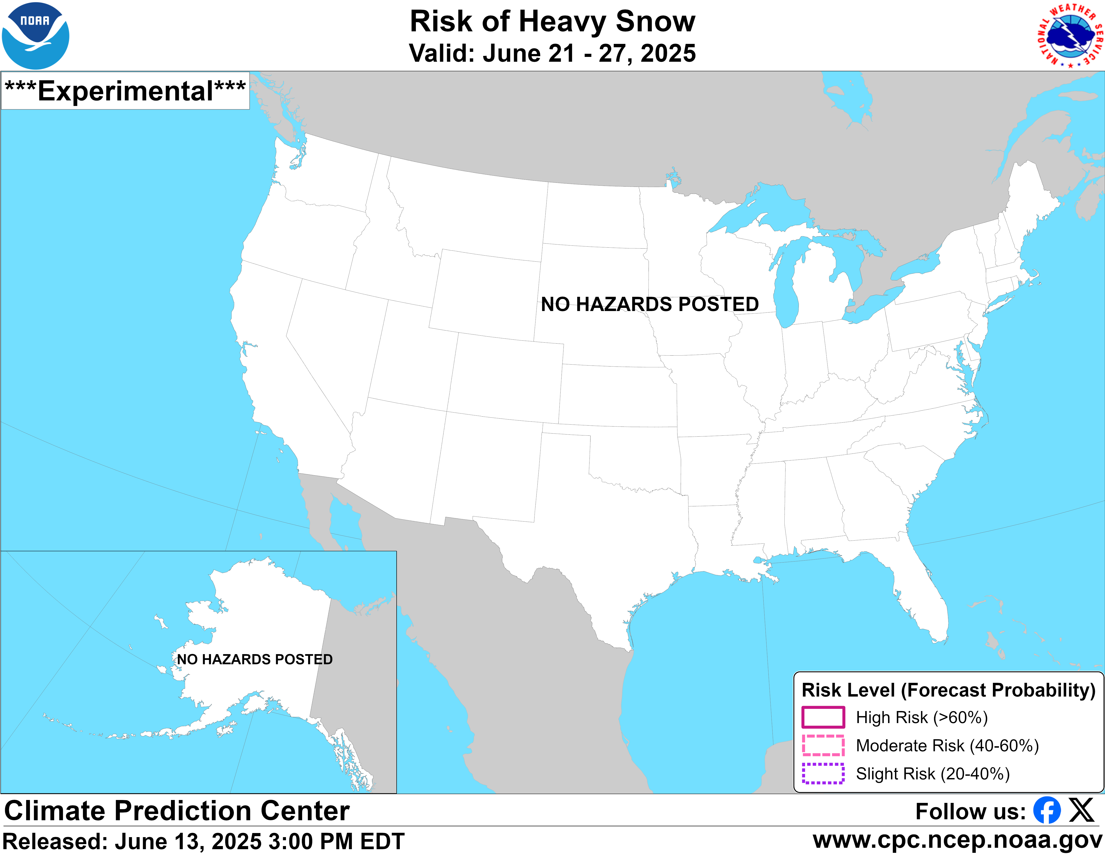
Expected snow totals are significantly lower—between 0.1 and 3 inches (0.3 and 8 cm)—across the northern Plains, Upper Midwest, and interior West, but the Rocky Mountains, Sierra Nevada, and Pacific Northwest could see accumulations well over a foot (30 cm). The National Oceanic and Atmospheric Administration’s Climate Prediction Center forecasts a “slight risk” of heavy snow in the Cascade Range and the northern Rockies between Thanksgiving and the end of the month.
The original post was to highlight a favorable #snow pattern over the Thanksgiving period. Still not in reliable forecast range but models are teasing even more with the GFS going full Medieval (aka Little Ice Age) but even much better AIFS bringing holiday cheer to the mountains https://t.co/Hemg4OHZPG pic.twitter.com/XoYcgJrgH4
— Judah Cohen (@judah47) November 18, 2026
Prepare for wild holiday weather
Even if temperatures don’t drop low enough for widespread snow across the U.S. next week, a stormy pattern could still interfere with holiday travel plans.
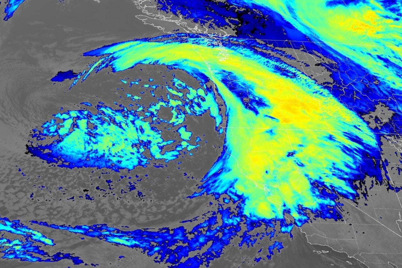
Noll will be monitoring several systems in the days leading up to Thanksgiving, starting with a potentially “drenching” storm that could impact the East Coast this weekend, he reports for the Washington Post. If the system tracks northward along the coastline, heavy rain will stretch from the Southeast into New England. But the storm could also linger and intensify near the Southeast coast, concentrating its force on the Carolinas.
“There is also a chance that this storm acquires some tropical characteristics if it interacts with the warm waters of the Gulf Stream, a reminder that the Atlantic hurricane season continues through the end of the month,” Noll writes.
Over Tuesday and Wednesday, Noll expects two more waterlogged systems to dump rain from Texas to Florida and from central California to Washington State. San Antonio, Houston, New Orleans, Miami, San Francisco, Seattle, and Portland, Oregon are most likely to see travel disruptions. By Thanksgiving, it’s possible that the southern storm could move northward to impact the Northeast, but there are multiple paths the system could take.
So while a white Thanksgiving is still largely uncertain for most parts of the northern U.S., many states are expecting heavy, disruptive precipitation next week. Those planning to travel for the holiday should keep a close eye on the forecast as these storms—and the fallout of this polar vortex disruption—take shape.