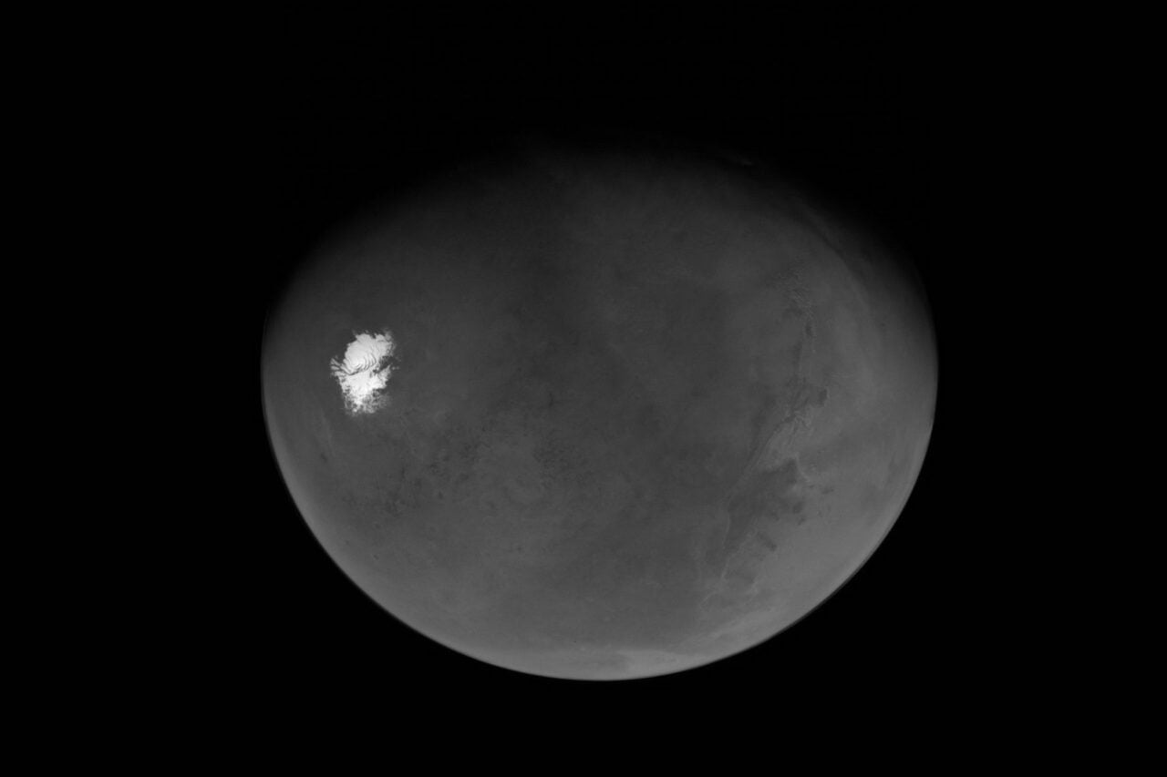
This amazing image shows 90 percent of Mars’s surface, imaged in ultra-high detail by the stereo camera aboard the European Space Agency’s Mars Express.
The image is stitched together from 2,702 individual images of the Martian surface. The blank sections are a result of the ESA being manned by perfectionists: those images were affected by dust or atmospheric effects and deemed too low in terms of quality to make the final cut. The ESA explains:
In total, 87.8% of the surface has been mapped at any resolution, with 61.5% mapped at a resolution of 20 m per pixel or better. The map is equatorially aligned, meaning that regions at the poles appear distorted…
The subtle variation in color tones are due partly to changes in dust content in the atmosphere, but mostly due to the change in solar elevation as the spacecraft moves around the planet, experiencing different illumination conditions.
Look carefully and you can make out some of Mars’s main geological features. At the top left is Olympus Mons, the planet’s tallest volcano, and just below and to the right are the mountains that make up Tharsis Montes. Even further right is Valles Marineris, the solar system’s largest canyon. Check out the full image below. [ESA]