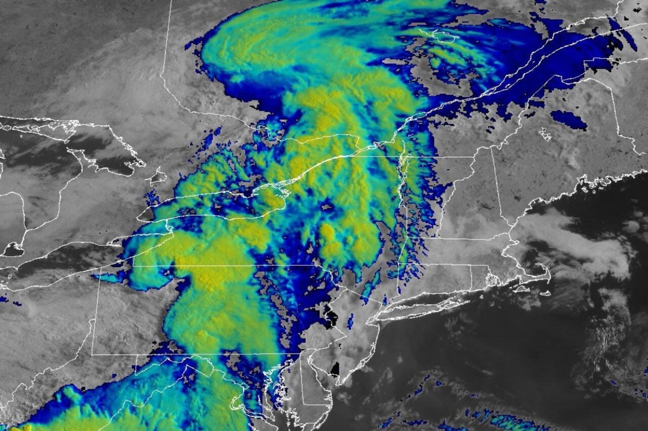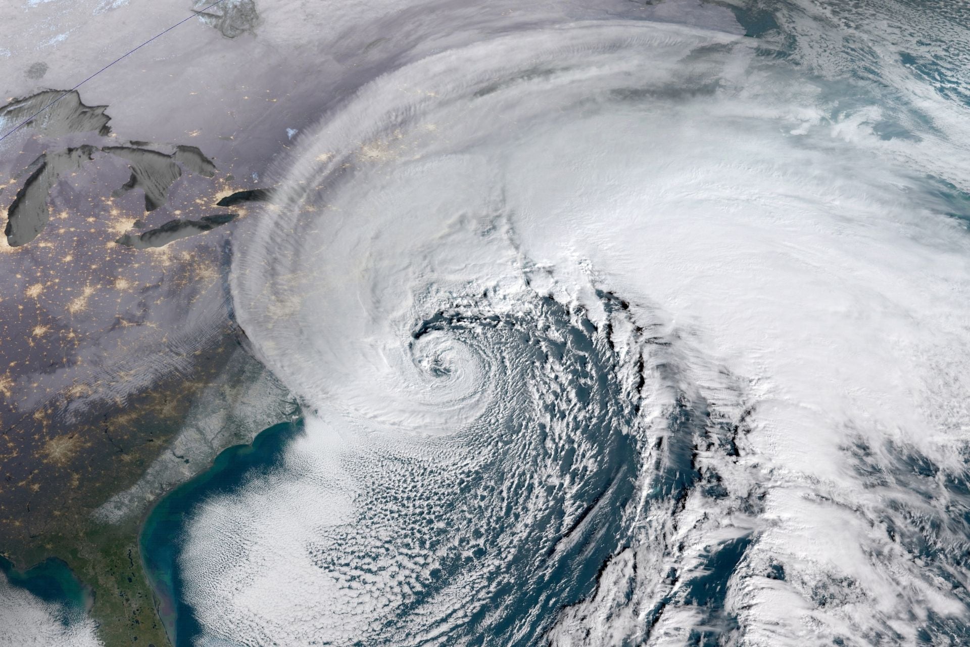
Amid an eerily quiet Atlantic hurricane season, it’s looking like the northeastern U.S. will see some action this week. Meteorologists are tracking a system that could turn into a strong nor’easter—or even a tropical storm—within the next few days.
It’s rare to see a strong nor’easter in September. These storms are usually most powerful from November to March, and they have a reputation for dumping heavy snow across the Eastern Seaboard. This early-season storm won’t blanket the region in white, but it could bring tidal flooding, high winds, heavy rain, and chilly temperatures to millions as it moves up the coast.
While meteorologists say it’s still too early to know exactly how this storm will develop or where it will go, here’s what the current forecast says.
A rare September storm
As an area of high pressure sets up near the Great Lakes, an area of low pressure will move from the Mid-Atlantic up the East Coast this week, according to The Weather Channel. As the low approaches the high, its winds will grow stronger.
Washington Post meteorologist Ben Noll expects the low to begin developing into a nor’easter overnight Wednesday off the coast of North Carolina. Strong onshore winds could hammer the Outer Banks with big waves, where coastal erosion and storm surge have already collapsed 21 homes in the last year, he reports. According to meteorologist Matt Lanza, the most imminent concern with this storm will indeed be tidal flooding.
The strengthening system will likely creep up the coast, reaching the Mid-Atlantic and Northeast by the latter half of the week. The threat of tidal flooding will continue through Friday and may be most severe in Mid-Atlantic states such as New Jersey and Delaware, Lanza reports.
“The wind will eventually become more northeasterly in nature as our nor’easter forms this weekend,” he wrote in a blog post today. “But in the interim, multiple high tide cycles on building onshore flow will gradually stack up water, especially in the back bays of the Jersey Shore.”
As the storm’s track and intensity become more clear, so will its impacts. Noll explains that an upper-atmosphere disturbance over the Great Plains will either pull it closer to shore or push it farther out to sea. If the storm does hug the coastline as it treks toward New England, coastal communities up and down the Eastern Seaboard could see dangerous surf, flooding, and damaging winds.
From nor’easter to tropical storm?
Forecast models currently show the fully formed nor’easter moving slowly south of Long Island and New England, according to Lanza. The longer it lingers over the water south of Long Island, the more likely it is to transform into a tropical system or hybrid system, he says.
So what’s the difference? Well, nor’easters are extratropical cyclones, meaning they form outside of the tropics. They are also cold-core storms that draw their energy from the horizontal temperature difference between air masses. Tropical storms are basically the opposite: warm-core cyclones that form in the tropics and draw their energy from warm sea surface temperatures.
“For people on the ground, this definition doesn’t matter a whole lot, as the outcome will be the same either way,” Lanza explains. “For those of us that study weather, this represents a fascinating case of potential tropical transition.”
Tropical cyclones often transform into extratropical cyclones as they recurve poleward and to the east, but only occasionally does an extratropical cyclone lose its frontal features, develop convention near the center of the storm, and become a tropical cyclone. This is most common in the North Atlantic and Northwest Pacific basins.
These transformations are notoriously difficult to forecast, so observing them in real time offers a valuable opportunity for meteorologists and climate scientists. It will certainly be interesting to watch this unusual system develop over the coming days, and folks along the East Coast should keep a close eye on their local forecast.