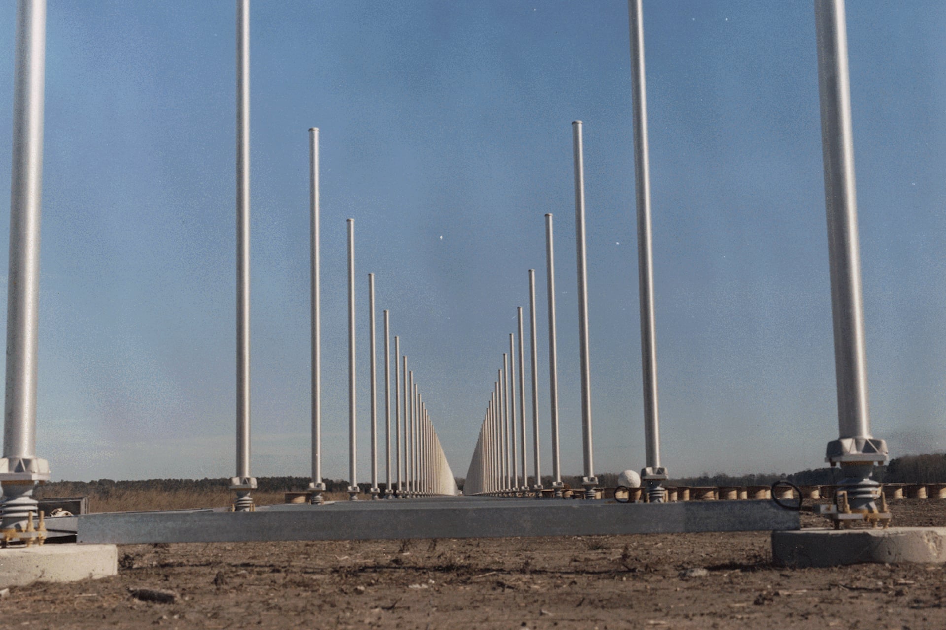
It took U.S. military scientists and defense contractors the entirety of the Cold War to bring the concept to fruition, but it only became operational as the Berlin Wall came crumbling down. Over-the-horizon (OTH) radar surveillance, including the Pentagon’s pre-DARPA “Polar Fox” experiments, bounced high-frequency (HF) radio waves off of Earth’s ionosphere to peer around distant curving horizons as far as 1,800 miles (2,897 kilometers) away.
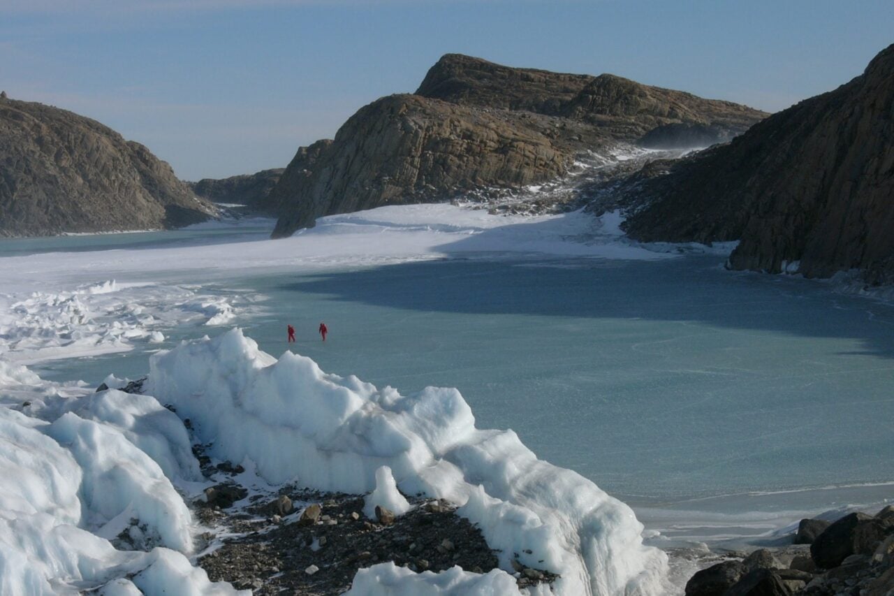
This high-frequency (HF) “skywave” radar, as the backscatter technique was nicknamed, would have provided sorely needed early warning against otherwise hard-to-detect, low-flying aircraft, like those defense experts feared the Soviets might try sneaking over the Arctic. The technology can track targets across distances seven times the reach of conventional radar—and now physicists are redeploying the concept the U.S. largely shelved after the Cold War to track marine vessels and dangerous migrating sea ice around the Arctic’s newly important shipping lanes.
“Climate change is reshaping the Arctic environment and creating new opportunities as well as new risks,” Australian radar physicist Stuart Anderson said in a statement obtained by Asia Pacific Security Magazine. “As more vessels, infrastructure and nations become active in the region, there is a growing need for reliable systems that can help maintain awareness of what is happening across these enormous areas.”
According to Anderson—who presented his research to the 2026 Institute of Electrical and Electronics Engineers (IEEE) Radar Conference in Phoenix, Arizona—skywave has “the potential to provide information that is difficult to obtain using existing systems.”
A cold, hard look.
Anderson, an adjunct professor with Adelaide’s School of Physics, Chemistry and Earth Sciences, has already successfully deployed similar tracking methods in Australia, helping to develop the nation’s Jindalee Over-the-Horizon Radar, which monitors distant marine vessels. But he noted that polar efforts posed challenges that Australia’s mid-latitude version has never had to consider.
“The polar ionosphere is much more dynamic and susceptible to space weather events because it is directly coupled to the magnetosphere and open to energetic particle fluxes from the solar wind,” Anderson wrote in his paper for the IEEE. On top of that, he added, the ionosphere’s background electron density varies seasonally up above the Arctic, which means any system designed to bounce off of it will have to be adjusted to that cycle.
But, even with those unique challenges in mind, Anderson said emerging research indicates that skywave radar should be able to differentiate types of sea ice, estimate its thickness and size, and eventually help track slow-moving ships by the ripples made in these ice floes. He added that a recent project pursued by Defence Research and Development Canada (DRDC), polar radar A-OTHR, should provide invaluable supporting data for this, documenting radar “scattering from the ice cap.”
“We do have some experience with an experimental north-looking skywave radar located closer to the pole than the planned A-OTHR in Ontario, though elsewhere in the world,” Anderson wrote, adding that it produced “some excellent range Doppler maps and clear ship detections well into the Arctic, so the prognosis is positive.”
OTHR ideas
Although Anderson is bullish on the prospect of HF skywave radar helping keep future Arctic sealanes navigable and safe, he emphasized that the technology was by no means capable of tackling the job alone. His hope is that these systems could help fill in the gaps created when satellite coverage and adverse environmental conditions make other tracking methods impossible.
“No single technology can do everything,” Anderson said. “The greatest value comes when information from multiple systems is combined. HF radar can add unique insights that strengthen the overall picture and support better operational decisions.”