The 4.4 jolt that shook Angelenos awake this morning was the latest reminder of our complicated relationship with the ground below us. But I had a different perspective of what was happening under my feet this time: Just before this latest earthquake, I took a walk along Hollywood’s fault lines with Dr. Lucy Jones, Los Angeles’s first Seismic Risk Advisor.
It’s a title that Jones assumed early this year, making her the first city-appointed seismologist in the country. There could be no more appropriate place for such a role. “This is by far the most interesting geological place in the U.S.,” she says. “Which is a little more problematic for the people who live here.”
Due to her roles at the United States Geological Survey and California Seismic Safety Commission, Jones has been known for years as the “Earthquake Lady“: You’ve probably seen her on TV already since she’s the go-to for quotes and commentary after major seismic events (and was again today). Jones has the ability to make quake talk accessible, understandable and often highly entertaining; she has a great sense of humor and her language is blissfully jargon-free. In fact, Jones freely admits that a large part of her job is acting as translator between scientists and the general public.
I see this in action when Jones conversationally rattles off a list of what might be terrifying statistics—if it wasn’t for her authoritative, down-to-earth tone. Southern California has 300 faults large enough to produce a 6-magnitude or greater earthquake. We also have the 800-mile-long San Andreas Fault, the largest fault in California. It’s been 330 years since the last earthquake that could be considered a “Big One.” If you look at it from a financial risk, which is the information that’s critical to recovery, Southern California carries half of the earthquake risk of the entire United States. Los Angeles County alone carries one-quarter of that risk.
https://gizmodo.com/another-reason-for-california-to-be-scared-shitless-ea-1525343282
That last part, about risk, is something that Angelenos need to understand, says Jones. We’ve evaluated pretty much every possibility of what might happen in a major earthquake; there aren’t really any surprises. “Most of the damage from an earthquake—95 percent—makes a seismologist go, yeah, we knew that,” she says. “The image out there is that the damage is not predictable—that’s not true. It is known, and we can prevent it.”
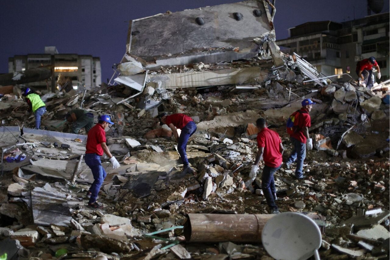
What Jones is doing for L.A. is getting the city to come up with a plan to avoid that 95 percent of knowable risk. This means organizing events called “ShakeOuts” where the city models scenarios of what might happen on different faults with different magnitude quakes. Jones specifically looks at the three Ds: Deaths, Dollars, and Downtime. After preventing loss of life, how much will the destruction cost the city? And then, perhaps most critically: How long does it take the city to get back to work? “For the future of Los Angeles, I believe we have to move beyond life safety,” she says. “Because we’ll save their lives and take away their jobs, and people are going to give up and walk away from L.A.”
Jones’s focus is on resiliency—a buzzy term at the moment that basically examines how quickly your city and its services can bounce back from disaster. So, for example, L.A. has four water sources—all of which have to cross the San Andreas Fault—many using old, brittle pipes which haven’t been upgraded with more earthquake-resistant joints. One scenario shows that our water could be knocked offline for 12 to 18 months, meaning L.A. businesses could lose up to $50 billion just due to a lack of reliable water.
https://gizmodo.com/a-100-year-old-emergency-water-supply-put-out-a-fire-in-1543092498
But the biggest issue Jones is facing right now are the city’s antiquated building codes—which are not focused on resiliency. “Right now, if it has to be torn down and didn’t kill anyone, it’s a success,” she says. “But a collapsed building becomes blight that allows the city to suffer financial damage. If we keep people from dying, but half the buildings can’t be used because they’re at risk, how can we function as a community?”
In older concrete buildings, you can see the marks left from wooden slats which formed the molds where the concrete walls were “poured”
We start our walk outside the Hollywood Roosevelt Hotel, a concrete building which was built in 1927, just before a 1933 earthquake made the city get serious about designing safer buildings. It’s a great example of how little we know about what those older buildings have actually done—the planning department can’t find any evidence of seismic retrofitting for this particular structure. It doesn’t mean it didn’t happen, they just don’t know.
As Jones is telling me this, she looks up and sees several large cracks midway up the building. She frowns.
A walk with Jones quickly becomes a lesson on how to interpret the urban landscape, which you can usually determine by reading her expression. The biggest frowns go to the URMs—unreinforced masonry buildings, which means that a roof is basically held up by a brick wall. These are also the buildings you’ll see studded with the large square bolts that might help save the lives inside but probably won’t save the building itself, she says. “This is the type of building that’s going to be a complete financial loss after an earthquake.”
Double whammy: This concrete building has a moment frame with a “soft” first story
Concrete is better, but since it’s so heavy when it collapses, it can be very deadly. So, in the 50s and 60s, engineers began to use “moment frames”—welded-together steel framing—as a major structural support. But moment frames proved to have a flaw: Instead of distributing movement throughout the building, the movement concentrated at the welded corners, fracturing them. After the Northridge earthquake, the city didn’t allow any more of these buildings to be constructed, but there are still plenty of them around. The worst offenders have a “soft” first story—large openings on the ground floor that will collapse and flatten under the building’s weight.
After walking a few blocks with Jones, I start to think I can pick the safest structures. But looks can be deceiving. Some brick buildings are “frosted” with stucco, giving them the appearance of concrete. Some nefarious-looking concrete buildings have elevator shafts tucked into their cores, providing extra strength. The single family homes which seem ridiculously precarious most likely have wood framing, which performs surprisingly well in a quake.
A masonry building that looks like concrete; you can tell by the square bolts it was retrofitted but it still could collapse
The problem with retrofitting is exactly that: The city doesn’t know which of its million buildings need the most help. UCLA recently released a report on the L.A. buildings most likely to collapse, but this wasn’t commissioned by the city as a first step to start improving them. It was simply to show how large of a task it would be to create this kind of accurate database. For one, L.A. has not digitized its building records; they’re only available on paper or microfiche.
San Francisco recently implemented a 30-year plan called the Community Action Plan for Seismic Safety. Instead of surveying every building in the city, the city created a kind of self-reporting format: Every building older than 1978 must provide documentation that their property has been retrofitted (or that it doesn’t need to be). This requires property owners to pay $200 for an engineer to inspect their building.
“Tuck unders” are common in L.A.: A building with lots of empty space beneath
Once the city decides how to gather this data, they still have to decide how to act upon the information. Buildings that will likely need the most attention can’t always fund the improvements. Schools and churches, for example, should be a priority, but likely can’t afford a major retrofit. L.A. is also significantly larger than San Francisco, so using their model might not work at all. “We have to decide what’s a good retrofit and what’s not, and what’s the standard that we want to retrofit to,” says Jones. That’s why the city really needs to employ some kind of rating system, which not only evaluates buildings, but also charts a path for prioritizing improvements.
Jones is working as the connective tissue between city agencies, getting them to set common goals. But it’s up to them to decide, ultimately, how to implement her findings. “I study waves traveling through the earth,” she says. “I don’t study buildings.”
It’s pretty obvious where one might find the fault line in Hollywood
The fault that ripples through Hollywood is actually the very best reason to live here, since it created the dramatic change in altitude which allows its signature views. When I ask where, exactly, the fault is, gazing out at the rolling chaparral sprinkled with cantilevered modern homes and the Hollywood Sign peeking over a ridge in the distance, Jones points to a cluster of buildings a block away, on the nearest hillside… where I happened to live for three years.
“On it is better than below it,” Jones says after my eyes widen in fear. “When you’re up on a hill, you’re on hard rock.” But that hard rock is also what makes everything below it more unstable. When the fault can’t move the rock anymore, it transfers energy to a “fault trace,” shifting the softer soils in the flats. An active trace is what you don’t want to build on. An active trace will rip your building apart.
My old apartment is on the right, just above the Hollywood Fault
We look up at my old apartment, hanging (somewhat ominously to me now) on the hill. “Look at this mountain—it’s pretty obvious where the fault line is,” she says. “But you’ve also got a fault trace out here”—she gestures widely out towards the rest of Hollywood—”and I’m not really sure where it is.”
The reason we don’t know where it is is actually our fault… I mean, it’s because of the way we built our cities. We paved over it.
Urbanization is actually a huge problem for seismologists, says Jones. “When you build a road over a fault, geomorphically we have erased what a seismologist can see.” That’s why cities and developers have to spend millions engaging in a preventative practice called trenching.
On a large empty lot next to the smooth white curves of the Captiol Records building (ironically, one of the buildings that’s pulverized in the movie Earthquake), a mountain of dirt rises several stories into the air. It appears at first glance to be like any other construction site. But a peek behind the mesh reveals that engineers are digging not a hole for a foundation, but a diagonal gash into the landscape. This is the trench.
Carving out this Grand Canyon of Hollywood allows engineers and geologists to examine the subterranean sediment beds and water table, and, thus, see how they have shifted. If the layers of dirt, sand, and rock have been moved or distorted after they were deposited, that’s evidence that there’s a fault or a fault trace. The law requires any structure to be built at least 50 feet away.
Although the city mapped the location of the Hollywood Fault in the 1970s, geologists are still not sure of the path of this particular trace. Partially because it was only discovered after it was asphalted over, but also because the state couldn’t afford a new study to determine its location.
Now, the site has become the epicenter of a vicious battle between nearby homeowners and developers, who want to build two planned towers. The homeowners have fought the project for a multitude of reasons, including, quite conveniently, the potential presence of a fault trace.
The developers are paying for the trenching to find the location of the trace, but it won’t necessarily stop the development: Even if they discovered one, they can still build there. All they have to do is offset the plans by 50 feet.
It’s a common misconception about safety, says Jones: You can’t “avoid” seismic activity in L.A. “You cannot live in Southern California and not be near a fault,” she says. “We need to figure out how to live with them—and we can.”
Rather than scaring me away, my time with Jones leaves me oddly reassured about living in Southern California. We hear plenty about having our emergency kit and our family plan prepared, but somehow, knowing where my local faults are located and how a building around me would behave makes me feel weirdly comforted. That emotional security is just as important, says Jones, and that’s why another project she’s focusing on is an early warning system for the city.
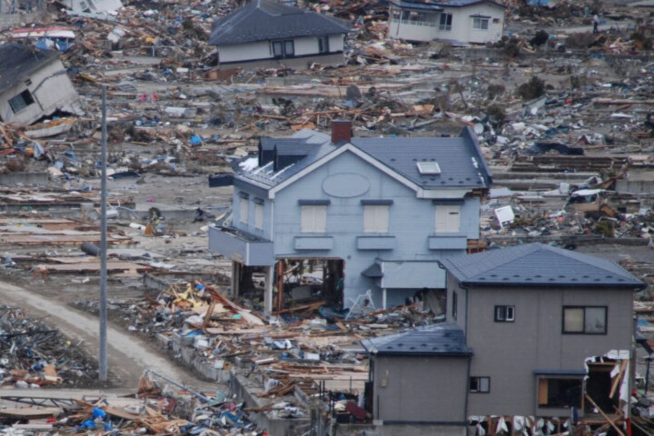
In fact, it already exists: She has a working prototype on her computer that was developed as part of a partnership between USGS, Caltech, Berkeley, and University of Washington. It was built in Japan, where it has been operational since 2007 and is now available there an app. The beauty of a system like this is that just a few seconds’ warning can halt transit systems, stopping train derailments—which can account for a large loss of life—as well as shut down power or nuclear plants, preventing disasters like Fukushima.
Just a moment or two before this morning’s earthquake, we would have received an emergency alert on our phones, much like the ones we’ve seen for inclement weather or Amber Alerts. That might be able to buy us a few seconds to get to safety, says Jones, but it’s also about a psychological benefit. “A month after the 9-magnitude earthquake in Japan, they had a million downloads because it was away to handle the emotional stress of the aftershocks,” she says. “It gives you a little control.” That little bit of control could make Angelenos feel a whole lot better about living in the most interesting geological place in the U.S.
Photos by Alissa Walker