While we point and laugh at Apple Maps for being subpar and screwed up, Google just announced underwater Street View. Well, sort of announced. TechCrunch reports that the new underwater Street View—which is beautiful—is now available for taking a peek of the Great Barrier Reef, Hawaii and the Philippines.
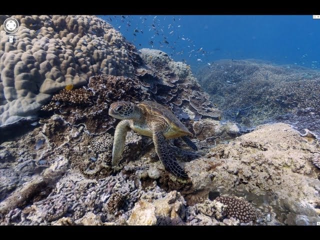
Google partnered with The Catlin Seaview Survey to create these breathtaking underwater views and it’s just delightful. Seriously, swim with a turtle, peep a Manta Ray and go around Hanauma Bay. The images were captured by a camera called the SVII by divers for The Catlin Seaview Survey. Check it out. It’s lovely. [Google Maps via TechCrunch]


