Last year, archaeologist Tom Brughmans and colleagues released itiner-e—the largest map of the Roman road system, covering 186,411 miles (300,000 kilometers). Since then, the researchers have been picking apart their database for new insights into these famous roads. Turns out, a lot of what we assume about Roman roads may be wrong.
To Gizmodo, Brughmans explained that the latest findings, published today in Nature Communications, bust several popular myths about Roman roads. First, despite the popular saying, not all roads lead to Rome, and networks were more effectively distributed throughout the Roman Empire. Second, Roman roads weren’t as exceptionally straight as previously thought. Third, the idea that Roman roads have persisted for so long that we’re still walking on them might be an overstatement. The overall takeaway is that, because the Roman road grid was so extensive—not even itiner-e covers everything, Brughmans noted—generalized assumptions will probably fall short of describing these ancient networks.
“I found it hugely frustrating that we simultaneously seemed to know so much and so little about Roman roads,” said Brughmans, of Aarhus University in Denmark. “But most frustrating is that these easily dismissible assumptions prevented scholars from asking the really interesting questions underpinning them.”
An innovation
According to Brughmans, Roman roads represented the “first continental-scale transport network in human history.” This enabled the transmission of people, animals, disease, goods, and ideas, the researchers wrote. The system represented a mix of newly built roads and upgrades to existing ones; the roads supported the Roman Empire’s conquest of new regions in addition to a vast trading network. The latter included smaller transactions in local communities for buying and selling necessities like produce.
“The system was crucial to keep a 1 million population alive in the capital city, Rome, which was highly dependent on the import of grain all the way from Alexandria in Egypt,” Brughmans explained. “The roads reveal so much more than Roman emperors’ politics and military campaigns: they shaped the lives of the ‘silent majority.’”
That said, despite scholars’ long-time interest in Roman roads, our understanding of them has largely depended on qualitative studies based on snippets of direct and indirect evidence, according to the paper. The goal of the latest study, therefore, was to conduct a formal quantitative assessment of Roman roads. Needless to say, the team, having put together itiner-e, was in an excellent position to pursue this project.
The debunk
The latest analysis began with three common assumptions: the centrality of Rome with regard to the network, the roads’ topological nature, and their continuity to the present day. Exploring these questions led to other inquiries, Brughmans explained. For instance, if the roads didn’t just lead to Rome, where did they go, and why? How did local landscapes affect the course of roads? How did the roads change over the past 2,000 years?
As for the first question, the team found that, while Rome did serve as a center for Mediterranean shipping, the overall network was more broadly distributed throughout the empire, especially around provincial capitals. This probably came in handy for provincial administration and tax collection. Meanwhile, Constantinople, which became the capital in the fourth century, was actually more of a “central” location for the empire, “way more so than Rome,” Brughmans added.
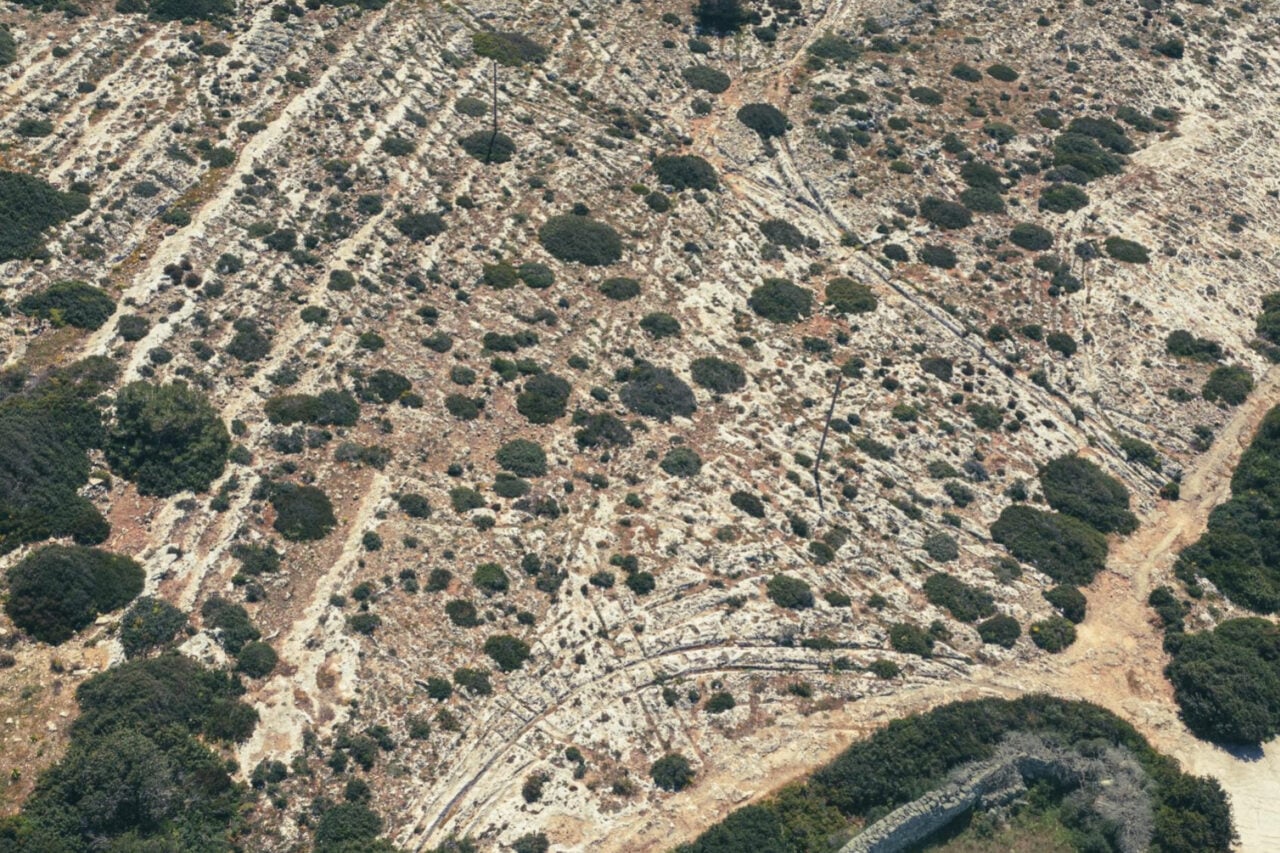
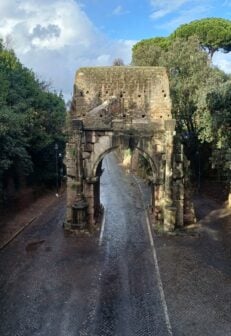
The idea of straight Roman roads comes from examples like Via Appia, and Romans were certainly exceptional engineers. However, roads were straight only if the local terrain allowed for it, according to the paper. The connection between Roman and modern roads wasn’t as strong as previously believed. Some older roads did survive, and of those some stayed the same while others were renovated following the Industrial Revolution. Others simply disappeared over time.
Not all roads…
That said, the team noted in the paper that it used the “best available,” not necessarily complete, dataset of Roman roads, although the researchers made sure to run robustness checks on their analyses. Another important caveat is that the Roman road system itself came from earlier routes and evolved with the empire—as well as the societies that followed the Romans.
“Our research reveals that this is just the tip of the iceberg: the Roman road system is way more extensive than even our work reveals,” Brughmans said. “The multi-scalar nature of our results fascinates me. The continental-scale patterning that emerges from millions of local histories. It is baffling to realize that infrastructure built two thousand years ago still affects peoples’ interactions in the present.”