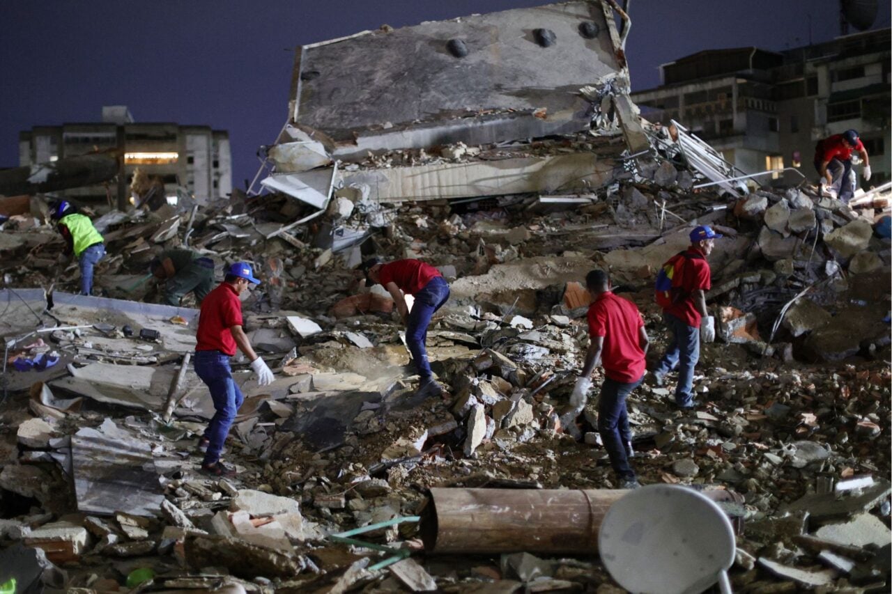
Pakistan’s devastating earthquake this week killed hundreds, with a death toll that’s certain to rise. While the country recovers, the world has become fascinated by a geographic side-effect of the disaster: the quake was so powerful that it created a new island in the Arabian Sea. And as of Wednesday morning, people were already exploring it.
https://gizmodo.com/7-7-magnitude-quake-in-pakistan-just-created-a-new-isla-1377964003
However, before you begin planning your own vacation to scenic New Pakistan, keep in mind that this is less of an island and more of a “mud volcano”: a thick smoothie of sand, dirt and rock that was forced to the surface by seismic pressure less than a mile from shore. But that doesn’t mean you can’t take a day cruise out to visit it, says local journalist Bahram Baloch. He reports that the island is nearly 250 feet long and 60 feet high, and it even emits flammable gases. “There were dead fish on the surface. And on one side we could hear the hissing sound of the escaping gas,” he told BBC News.
This same phenomenon has actually happened before in Pakistan, but the island didn’t stick around. After an earthquake in the 1940s, the British Indian Geological survey recorded a new island off the coast of Karachi, according to seismologist John Armbruster in an interview with NBC News. Since it was mostly sediment, it began to erode in the ocean waves and “within days, weeks, it washed away.” The same thing happened again in 1968.
While we certainly can witness dramatic changes to the planet in real time—hurricanes redesign our coastlines, volcanoes blow their tops off—it’s not as often that a brand new island suddenly pokes its head above water. But natural disasters can radically alter our ecosystems, redraw geopolitical boundaries, and create landforms out of thin air—or out of shallow water, as the case may be.
Although Pakistan’s newest island might disappear faster than you can say Oceanic Flight 815, there’s no doubt that massive earthquakes actually change the shape of our planet: The recent quakes in Japan, Chile and Indonesia so radically shifted the earth’s tectonic plates that the rotation of the entire planet was affected, shortening our 24-hour day by milliseconds. Sometimes we can see those shifts occur. The 2010 Chilean quake was so locally powerful that it caused dramatic changes along the Pacific Ocean, managing to visibly raise the seafloor by up to eight feet. This created a “marine shelf” that extended the coastline in some places 1,640 feet into the ocean and affected the ecosystem for creatures from sea lions to algae.
https://gizmodo.com/how-the-chile-earthquake-created-miles-of-new-uplifte-5603563
On a smaller scale, a 7.5 earthquake near Yellowstone National Park in 1959 resulted in a landslide which poured 80 million tons of mountainside onto the Madison River, creating a natural dam. Within a few weeks, the blocked river had filled a lake 180 feet deep. When you visit Quake Lake, as the new lake is now called, you can see the skeletons of dead trees still protruding from the water.
The shifting boundaries between land and water can transform an area’s fortunes in an instant. When a coastline is altered, the habitats of the existing plants and animals can be destroyed, paving the way for new species to move in. It changes the game for people, too, as local residents now have different access to resources—for instance, losing farmland or gaining fishing coves.
But the most interesting issue for an instant island is the political implication: Who owns it?
Large rivers routinely reroute during flooding, of course, creating islands that might disappear with the next high water—or they may stick around for a few decades. A famous example is Bloody Island, a small sandbar in the Mississippi River that first appeared in 1798. Because of its seemingly temporary status, neither Missouri nor Illinois claimed the island, making it a kind of legal no-man’s land. This made Bloody Island the preferred local venue for duels, hence its colorful nickname. It was in no one’s jurisdiction—literally outside the law. (In 1837 a new dam made the island officially part of Illinois, ruining all the fun.)
Since this week’s tiny new island off Pakistan is less than a mile from shore, it’s safely within the nation’s maritime boundary (generally 12 nautical miles). But what if it was discovered to be resource-rich and laid just outside that boundary? What are the protocols or precedents for making an international claim?
Ferdinandea, for example, a seamount off the coast of Sicily, achieved island status in 1831 after a volcanic eruption shoved its elevation 200 feet above sea level. Its appearance set off a four-way battle as Sicily, France, Spain and England all laid claim to the square-mile island. Tourists sailed over from the mainland for a peek, and a hotel was planned. Thankfully, Ferdinandea eroded below sea level, avoiding an international incident. But all it would take is another similar eruption for this ephemeral island to resurface the disputes about its sovereignty.
This will become a bigger issue as rising sea levels threaten to change our coastlines and transform the way we measure our geographic boundaries. Many islands will disappear completely and new islands will appear more often—not from earthquakes or volcanoes, but as even the highest ground becomes completely surrounded by water.
[Top image: AP Photo/Gwadar local government office. Images: NASA Earth Observatory, Science/AAAS, USGS, Missouri Digital Heritage, Centro Meteo Italiano. Sources: BBC News, Live Science, USGS, Live Science, New York Times]