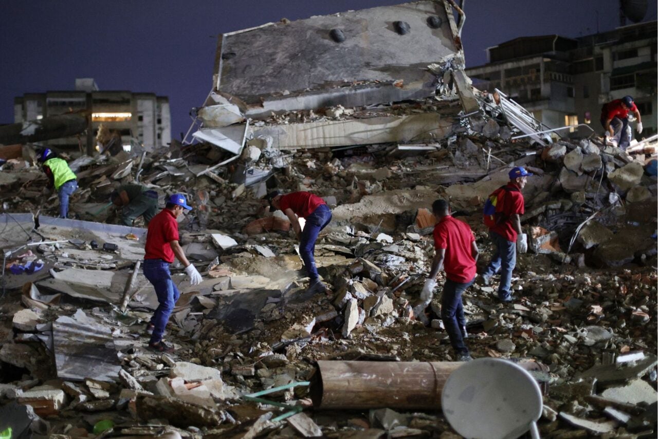
It sounds like a plot to a fast-paced popcorn flick, but right now, U.S. scientists are on a mad dash in Nepal, collecting as much quake data as possible from the country’s scattered ground movement sensors, before the info is completely wiped. These numbers could help seismologists predict when the next big one could strike.
Nepal was devastated by a 7.8-magnitude earthquake on April 25, and now, scientists and volunteers are hiking across a network of 20 different monitors and radars that contain geological data about the quake, like ground measurements. That data can’t be accessed remotely, and the disaster screwed up nearby phone networks, so a human has to physically plug in a computer to access that data. Involved parties include NASA and the U.S. Geological Survey.
And the clock is ticking: in two weeks, the data could be gone forever. (These sensors—GPS receivers atop tripods, whose legs are shoved into the earth—automatically wipe and overwrite their data every couple weeks, apparently.)
Dr. Jon Kedrowski gathering data near Mt. Everest for the USGS. Credit: drjonkedski Instagram
This information is crucial because it tracks how much the Himalayas moved during the recent earthquake. (Mt. Everest sunk about an inch.) If all monitors can be reached in time, scientists can use that data to locate fault ruptures and where seismic energy is still being stored—potentially predicting future quake locations. So far, about a third of the sensors have been reached.
Go scientists go!
[WSJ]
Top image: Getty