In 1908, Ernest Shackleton’s legendary Nimrod team was making its way toward the South Pole when the men were startled by something unexpected: The sound of liquid water, roaring across the frozen wasteland toward the sea. One hundred and nine years later, scientists can confirm that this sound, described by one early explorer as “odd after the usual Antarctic silence” was not a trick of the mens’ imaginations, nor was it a fluke. Hundreds of individual waterways gush across our planet’s ice-covered continent in the summertime, and they’ve been doing so for decades.
A new analysis led by scientists at Columbia University’s Lamont-Doherty Earth Observatory is the first to reveal a vast network of drainage basins, including streams, channels, ponds, and even waterfalls, dispersed across the continent of Antarctica. Although individual drainage basins have been documented on Antarctica for a years—and several have been studied in detail—the first wide-scale survey shows just how extensively Earth’s frozen continent bleeds in the summertime.
“There were a few hints of streams here and there, but we had no idea they were quite so widespread, or quite so large, or that they persisted for so long,” Jonathan Kingslake, a glaciologist at Columbia University and lead author on the study published today in Nature, told Gizmodo. “The big question for me is, given predictions of how much Antarctica is going to warm, the amount of meltwater is going to double this century. If that occurs, will [these] drainage systems deliver water to places that can cause [ice sheet] collapse?”
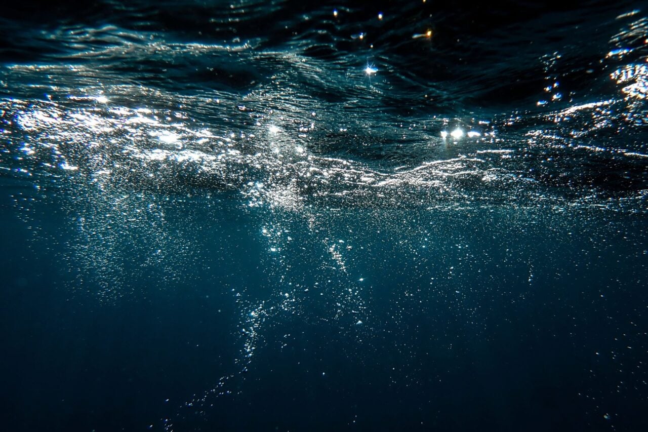
That’s a serious concern, but it’s not the only possibility raised by the new work. In a companion study also published today in Nature, glaciologist Robin Bell, along with Kingslake and others, explore how drainage networks might actually be helping the Nansen Ice Shelf, a site traversed by Shackleton’s Nimrod expedition, and a few years later by the Northern Party team of Captain Robert Falcon Scott’s British Antarctic Expedition, hold itself together. There, rivers along with a roaring, 400 foot-wide waterfall pump excess water off the icy shelf and into the ocean.
“Ice sheet models now just assume water ponds and damage the ice shelves,” Bell told Gizmodo. “We have shown that water can move,” perhaps, out of harm’s way.
The complex physics governing the flow of ice and water off Antarctica may sound arcane, but it has major consequences when you consider that the entire continent contains enough frozen water to raise global sea levels by 200 feet, putting coastal cities like Miami and New York deep underwater. But before we can predict how meltwater will impact Antarctic ice sheets in a warming world, we need more data on how widespread it is on the continent, today. To that end, Kingslake and his colleagues turned to Landsat satellite records and aerial photographs, using these two datasets to build a first-of-its-kind record of the continent’s drainage networks, extending all the way back to 1947.
Their analysis revealed widespread systems of streams, rivers and ponds—roughly 700 in total—mostly rimming the fringes of the Antarctic ice sheet, but in some cases, extending deep into the interior. While these features are ephemeral, spreading like weeds in the warm summer months, many seem to have existed on and off for nearly a century.
“Amazingly, we saw features in aerial photography from the 1940s very reminiscent of features we saw later in satellite images,” Kingslake said. “I think it’s remarkable that two years after World War II, people were flying around Antarctica taking photos of these features.”
But World War II pilots weren’t the first humans to notice Antarctica’s mysterious, icy rivers. As Bell discovered when she was compiling records for the Nansen Ice Shelf study, early Antarctic explorers were aware of the phenomena, too.
“I was trying to determine if there was evidence for change and realized that both the Nimrod and Scott’s northern party had crossed the Nansen [in the early 1900s],” Bell told Gizmodo, explaining how she traveled to the the Scott Polar Research Institute in England to review the journal records of the Northern Party. “It was something to hold the hand written notes of these scientists who studied the Nansen over 100 years ago,” she said.
Now that we know Antarctic drainage networks are long-lived and widespread, the big question on everyone’s mind is how quickly they’re expanding due to climate change, and how they will impact ice sheets as the planet continues to warm. We already know that meltwater ponds can accelerate ice sheet collapse, by placing additional strain on the ice, or seeping deep into cracks and causing them to expand. Scientists watched these processes play out on Antarctica’s Larsen B ice shelf in 2002, when more than 2,000 ephemeral lakes drained through the shelf to the ocean below in a matter of days, an event that coincided with the ice shelf’s sudden disintegration. If standing pools of water become more frequent in a warmer world, this could happen more often.
But Bell’s work on the Nansen Ice Shelf points to a distinctly different role for surface water, in certain situations. There, a large river network combined with an ice-edge waterfall channels liquid water rapidly into the ocean, preventing the buildup of ice shelf-weakening ponds.
“In the case of Nansen, this is an extreme situation where water is draining all the way to the ocean,” Kingslake said. “We think this reduces the impact of melting on the ice shelf.”
Alison Banwell, a glaciologist at the University of Cambridge Scott Polar Research Institute who was not involved with either study, told Gizmodo that future studies should focus on how many other ice shelves have large river networks that transport meltwater efficiently into the ocean. “Currently, we are only aware of the river and waterfall system on the Nansen,” she said.
Bell added that surface meltwater isn’t the only process glaciologists are concerned could be accelerating ice sheet collapse. “Another huge influence that contributes to Antarctic ice shelf melting, and therefore ice shelf thinning, is subsurface melting,” she said. “That process may be just as significant, if not more significant, than surface melting. More research is needed.”
Right now scientists, have more questions than answers about Antarctica’s ephemeral drainage systems. The most salient aspect of the work may, however, be the reminder it offers that old knowledge isn’t useless. In 1909, when Nimrod team member T.W.A. David scribbled in his notebook that a “thaw-water stream could be heard roaring” in the distance over the Nansen Ice Shelf, he certainly couldn’t have known the weight his words carry over a century later. We need the past in order to understand the future.
“I feel honored on having the chance to bring their hard work and observation to the forefront,” Bell said.