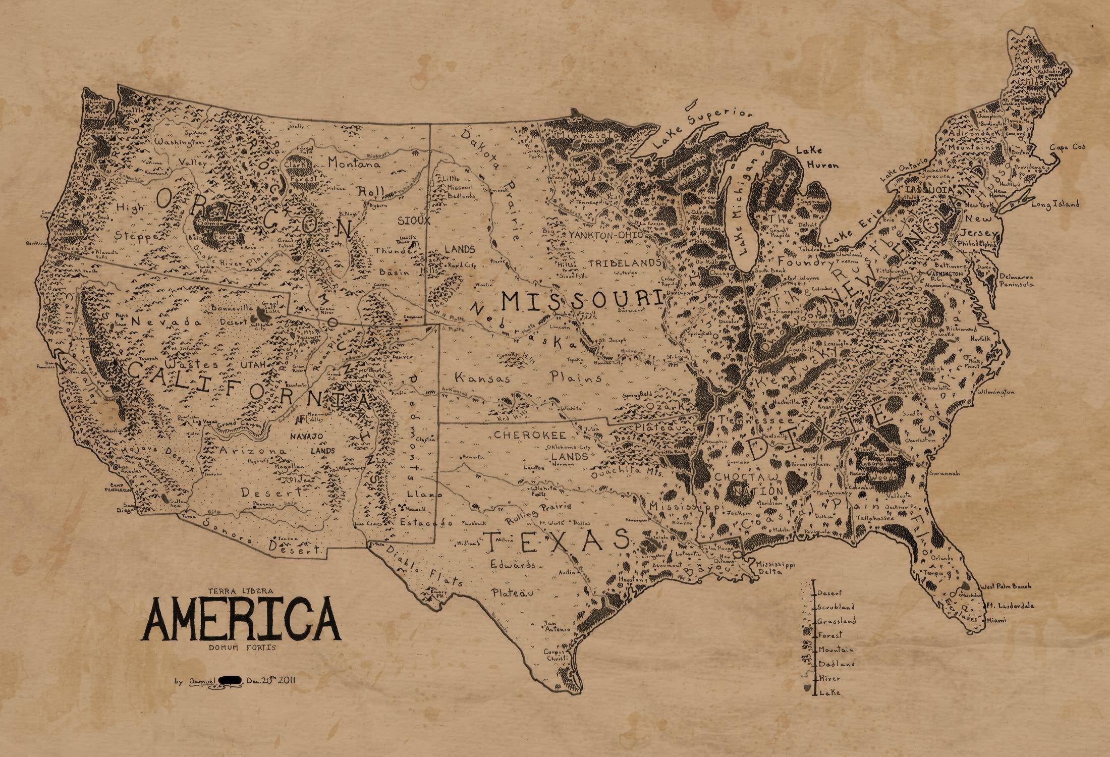
Have you ever wondered what a map of the continental U.S. might look like if it were subjected to the stylings of Christopher and J.R.R. Tolkien, who, together, illustrated the world encompassing LotR? Wonder no more; redditor Jvlivs has made Middle Earth-ified America a reality.
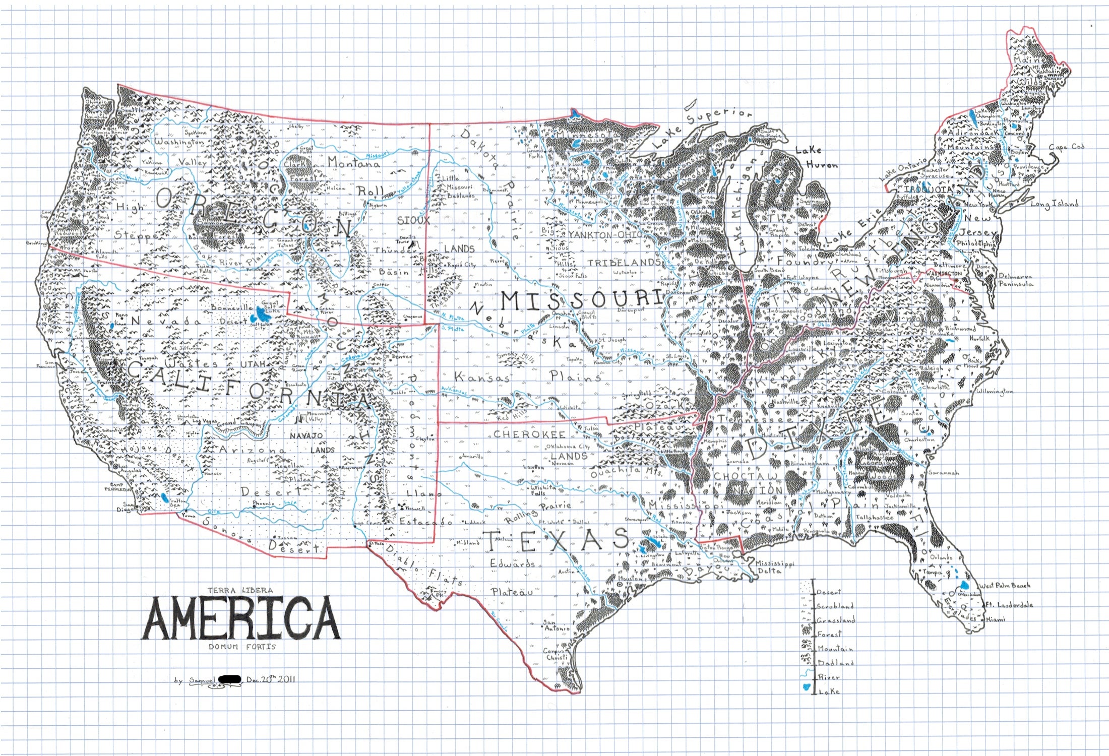
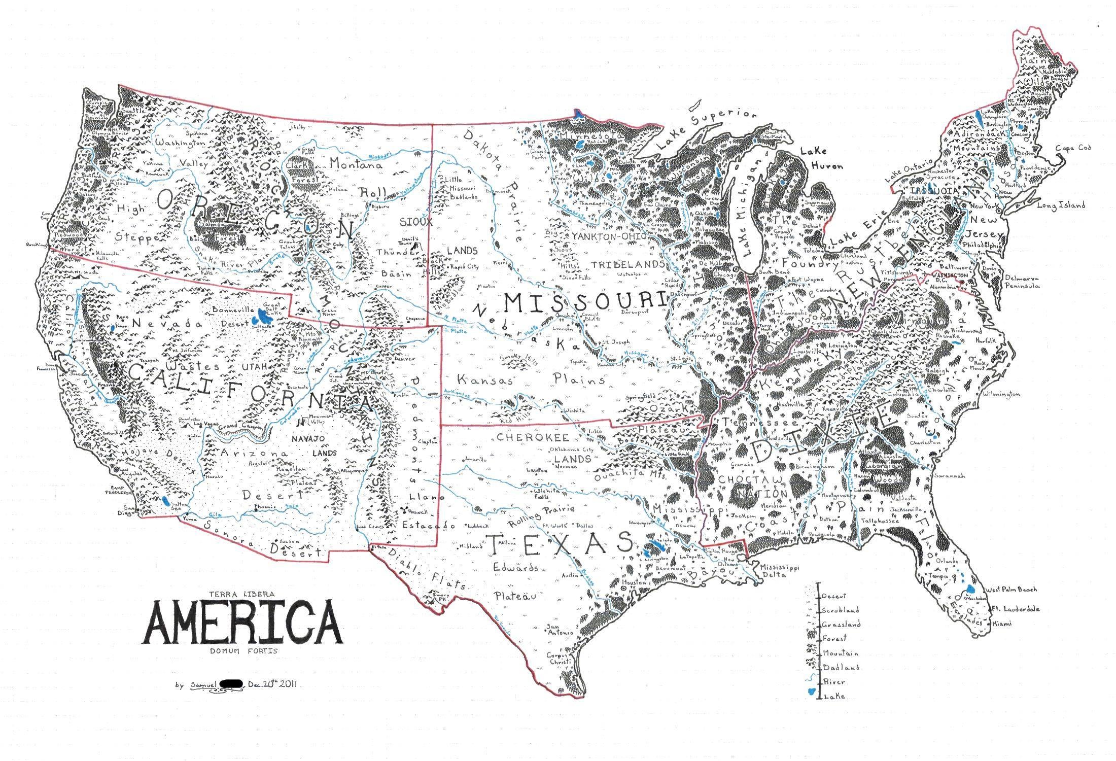
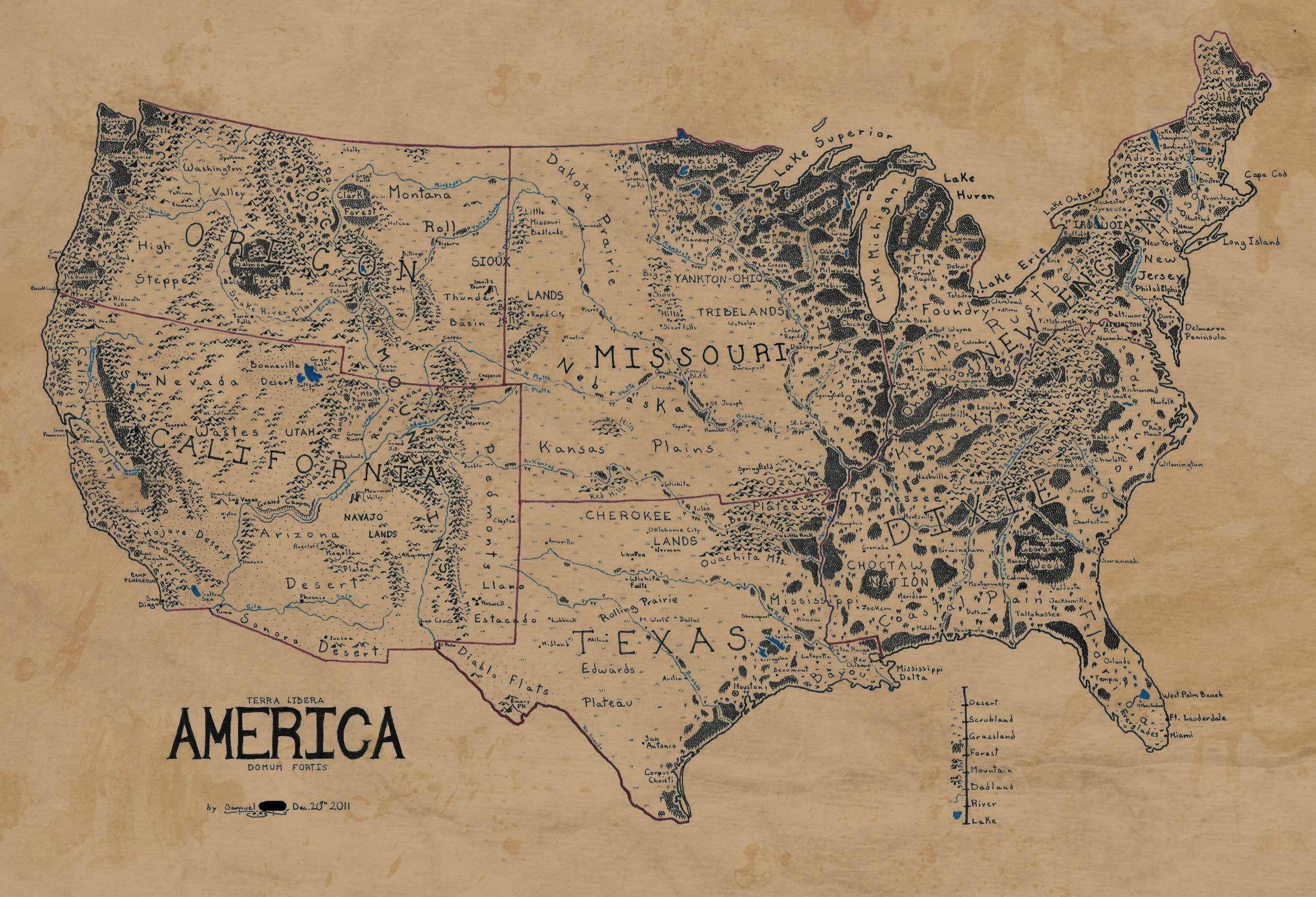
Jvlivs originally drew the map on what looks like 1/4″ rule graph paper, using red pen to divide the country up into six “mega states” [see the original here]. But with a little help from fellow redditors vede and Lizardbreath, Jvlivs wound up with the gridless, antiqued version of the map that you see up top. [Click here for hi-res]
According to Jvlivs, he based the mega-state concept around Joel Garreau’s Nine Nations of North America, which argued that North America’s economic and cultural dynamics could be better understood by the interactions of nine large regions, as opposed to those of dozens of states and provinces. And while Jvlivs’ map is not without its flaws (he admits that there are many inconsistencies in, for example, the position and grouping of various cities and states) we think most of its shortcomings can be justified, given its overall stylistic awesomeness.
Click through the links below to check out the transformation from Jvlivs’ original drawing to the final antiqued version that you see up top.
Original | Grid removed | Antiqued monochrome | Antiqued color (by redditor killer_trees)
[Via reddit]


