As the United States expands its role as a major supplier of liquefied natural gas to Europe, a parallel story is unfolding above the country’s oil and gas fields: satellites are getting better at seeing where methane is escaping.
The University of California released a new report identifying 15 of the highest-emitting methane sources across the three U.S. oil and gas basins that supply the most natural gas to Europe—the Permian, Appalachian, and Haynesville. As U.S. natural gas production continues to grow, the findings highlight the importance of understanding where methane is being released and who may be responsible.
As seen from space
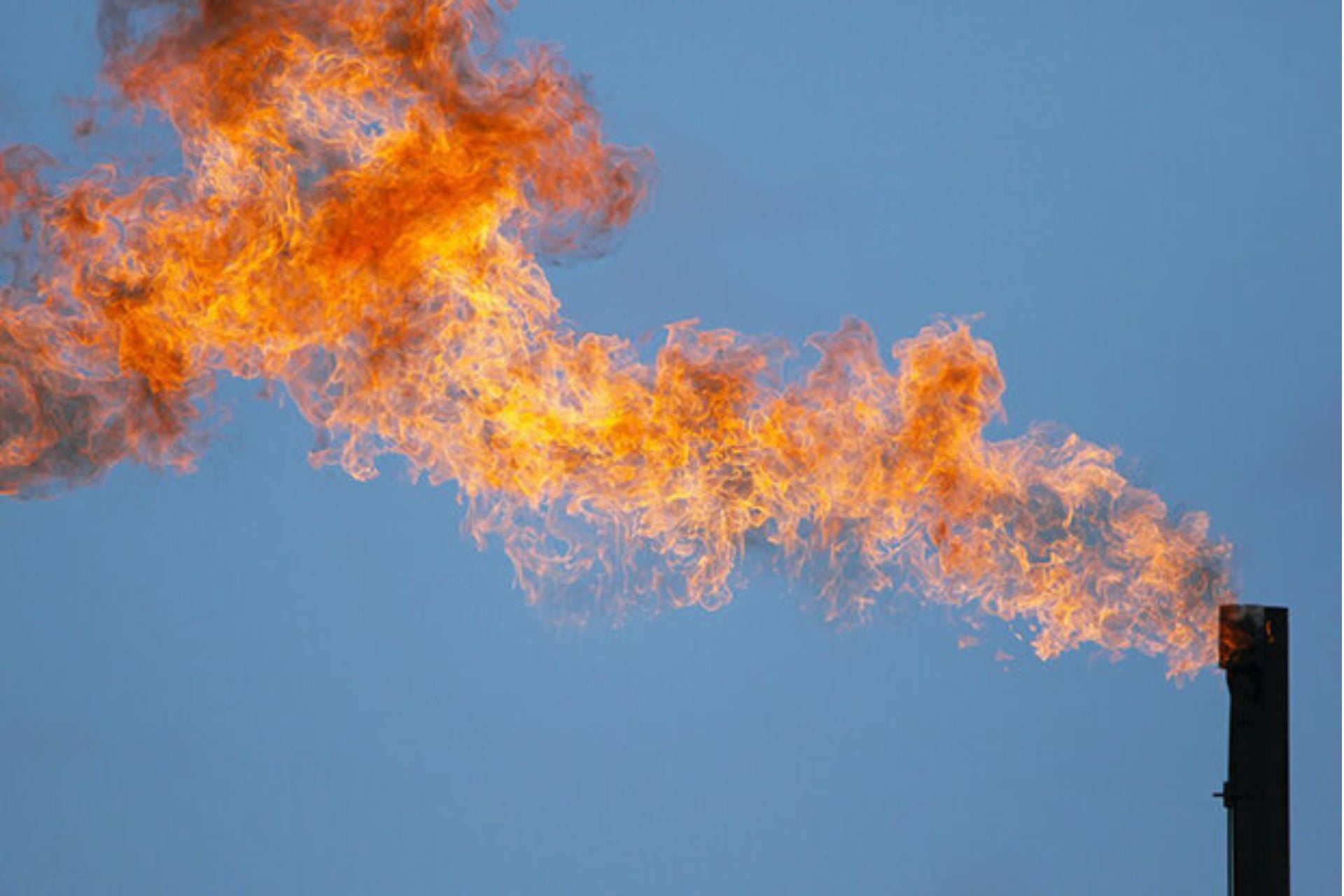
Methane is one of the most potent heat-trapping greenhouse gases, and a main component of natural gas. It is released throughout the oil and gas supply chain, from wells and production equipment to pipelines, processing facilities, and storage sites. Some emissions are the result of intentional releases, such as when operators vent gas during certain oil and gas operations. Others occur when equipment leaks or when natural gas is burned but not fully combusted.
This year, natural gas production in the U.S. is set to average about 122.5 billion cubic feet per day, according to the U.S. Energy Information Administration. That would exceed the previous annual record of 118.5 billion cubic feet per day in 2025. The Permian and Haynesville basins together account for more than 70% of the forecast increase in natural-gas production this year.
The new report uses data from the Tanager-1 satellite to detect methane plumes from oil and gas sources in the Permian, Appalachian, and Haynesville basins between January 2025 and June 2026. The satellite detected a total of 1,097 methane plumes, and a team of researchers was then able to name the operator responsible for about a third of the plumes using publicly available data from the non-profit Carbon Mapper.
Who done it?
The recently released ranking lists the top 10 oil and gas sites in those three basins based on their methane emissions. At the top of the list is a Shreveport facility located in Red River Parish, Louisiana, operated by Energy Transfer.
As the biggest single super-emitter, the site is responsible for releasing an average of 1.72 tons (1.56 metric tonnes) of methane an hour. If the Shreveport site were to emit methane continuously for a year at the average rate calculated from its detected plumes, that would equal the greenhouse gas emissions of driving a gasoline-powered passenger vehicle 974 million miles (1.568 billion kilometers) or the carbon dioxide emissions from 51,000 homes’ energy use for one year, the report notes based on U.S. Environmental Protection Agency (EPA) calculations.
Every site in the ranking has an average emission rate far above the EPA’s threshold for a “super-emitter”—defined as a source releasing at least 0.11 tons (0.1 metric tonnes) of methane per hour. The Shreveport site alone releases 15 times the threshold.
The new report comes at a pivotal time for methane regulation in the U.S. The Donald Trump administration has moved to roll back several Biden-era efforts to reduce methane emissions from oil and gas operations, including repealing the federal methane fee and revising key oil-and-gas emissions requirements. At the same time, U.S. natural-gas production and exports continue to expand, while satellites are providing an increasingly detailed view of where methane is escaping.