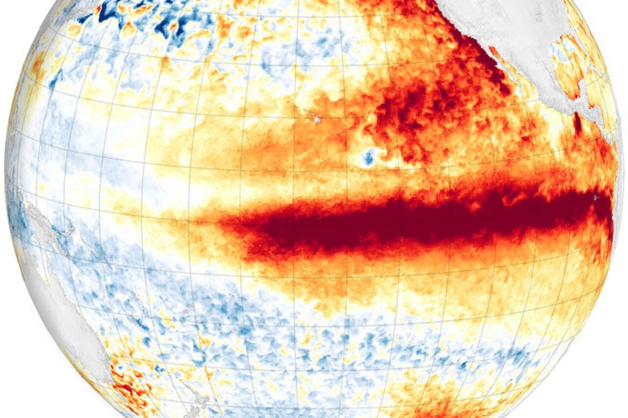
Climate change is happening, but how ugly is it going to get? Very ugly, getting both wetter and drier at the same time in different places for an escalating mess of terrifying extremes. Here’s a look at observed and predicted changes in rainfall patterns in the United States.
Predicted precipitation anomaly for optimistic and pessimistic scenarios. Image credit: NASA
Check out the projected precipitation anomaly from the NASA Goddard scientific visualization collection. The anomaly for next year isn’t too terrifying — a little drier in the south, a little wetter in the north, but nothing all that extreme. Then start running through the videos of the pessimistic, “We get lost in petty political bickering over if climate change is our fault and do nothing to address it” A2 scenario, or even the more optimistic, “We realize this is a problem and start seriously working to address climate change now” B1 scenario, and the extremes just keep getting more extreme as time goes on for the not-so-distant 30-year average. Any way about it, we can expect to keep having more floods, more droughts, and more severe storms.
It isn’t just more or less rain that will be a problem, but more and more extreme events. The National Climate Assessment is a detailed report or predictions for how climate change is going to impact the United States. The newest updated edition includes this map of just how much more frequently the country is experiencing heavy precipitation events in 2012 compared to 1958.
Intense precipitation events are increasing, particularly in the northeast. Image credit: National Climate Assessment
In the west (southwest, northwest, and Hawaii), the increase in intense events falls within the natural variation for the region, but for everywhere else (northeast, southeast, midwest, Great Plains, Alaska, and Puerto Rico) the trend to more extreme events is outside the natural variation. Translated, that means while any intense storms in the Pacific Northwest in 2012 were pretty much on par for the region, the storms that drenched the east coast were more than should be expected if we weren’t so busy mucking up what the natural climate trends look like. For specific information on what to expect in your neighbourhood, you might want to head over to the National Climate Assessment. Dive through their regional data to read about the potential future for your hometown. (If that’s a Tl;dr moment, Bad Astronomer has a nice summary.)
When you start thinking about both maps together, it gets really ugly. Sure, California might be having fewer severe storms, but it’s also projected to get drier and hotter. That translates into longer periods of drought, with just enough rain to trigger landslides but not refill the limited reservoirs. Meanwhile, the northeast is already experiencing more extreme rainfall events, and it’s just going to keep getting wetter and wetter and wetter. One day in the not-so-distant future, New York may join the dubious ranks of cities with high enoughrainfall to drown standing up.
For more grim ideas on future climate, NASA Goddard has collected their science visualizations into one tidy page for you to check out while trying to suppress that feeling of growing dread. I’ll be over here, huddled in a corner cursing furiously and trying to dream up scifi solutions to the impending doom.