This beautiful estuary holds a hidden secret: these dendritic tributaries carving through rock carry wastewater from the busiest industrial port in Iran and heavy metals from its petrochemical plants into the surrounding ecosystem.
Musa Bay, Iran as seen by the Advanced Land Imager on NASA’s EO-1 satellite on January 20, 2015. Image credit: NASA
Musa Bay is where several Iranian rivers converge on their path to draining into the Persian Gulf. The branching pattern is common to streams spreading across relatively flat, uniform terrain, with few patches of particularly hard or steep rock to alter the patterns.
https://gizmodo.com/how-wind-and-water-create-the-worlds-most-beautiful-roc-1550763072
Musa Bay, Iran. Image credit: NASA/Earth Observatory
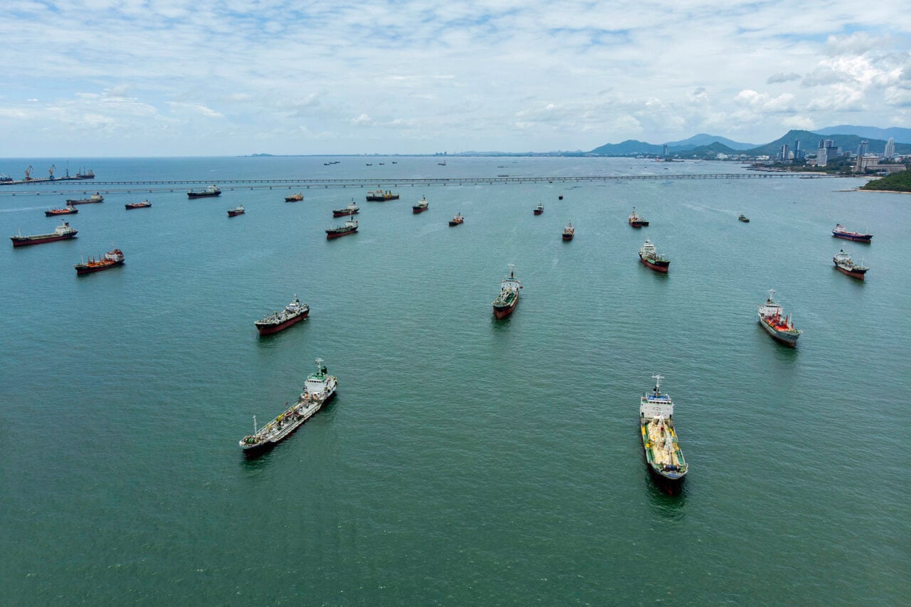
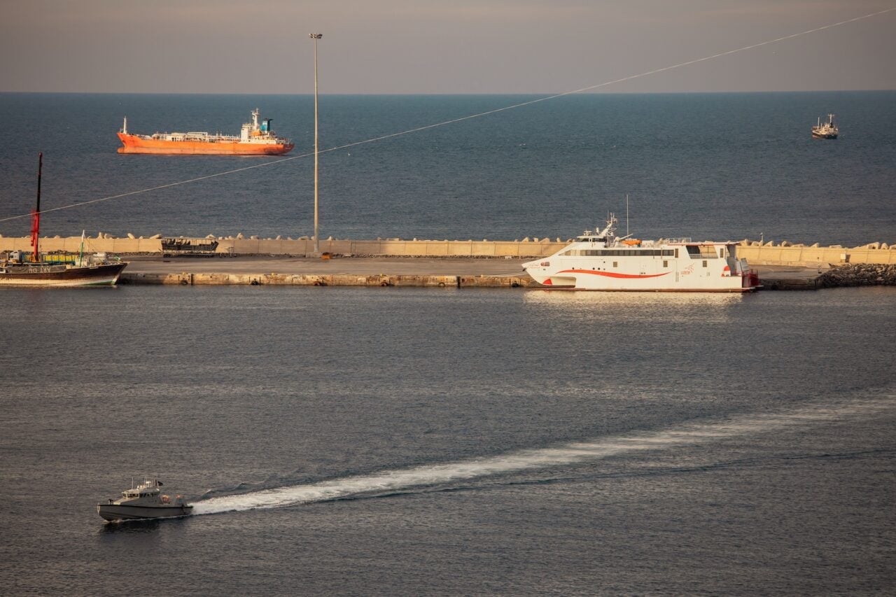
But the landscape isn’t completely untouched. Along with bright patches of irrigated agricultural fields, the estuary is also home to the Bandar Imam Khomeini petrochemical complex. As the largest petrochemical supplier in the country, the facility produces petroleum-based products including gas, plastics, fertilizers, and other industrial chemicals.
Inset closeup of the Bandar Imam Khomeini petrochemical complex. Image credit: NASA/Earth Observatory
The wastewater from the petrochemical facilities and ballast water from oil tankers both enter the estuary, raising local levels of oil residue, tar balls, and heavy metals. Sediments within the bay contain enough polycyclic aromatic hydrocarbons (PAHs) and other pollutants to negatively impact the ecosystem, although the levels are pretty much the same as found around petrochemical facilities elsewhere in the world.
Read more on NASA’s Earth Observatory.