The Pacific Ocean is only midway through peak hurricane season, but it’s already been super-charged by this year’s historic El Niño. So far, 15 named storms and six hurricanes have formed in the northeastern Pacific—which is well above average—and even more have taken shape in the northwestern Pacific. But it’s not just the number of storms that has been concerning; it’s their intensity.
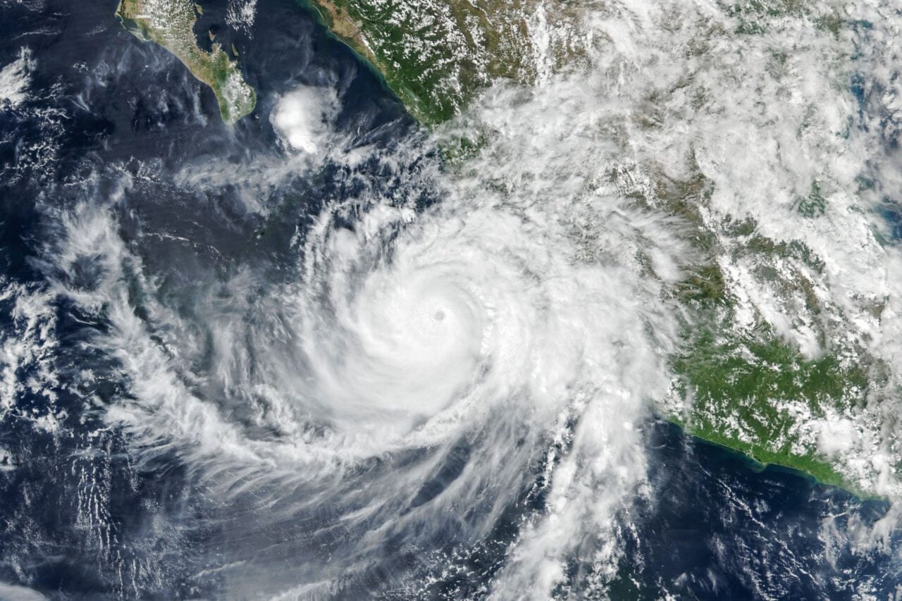
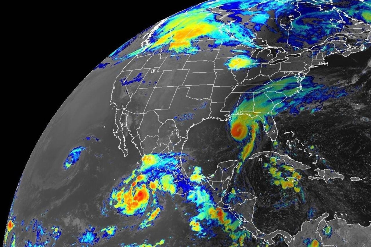
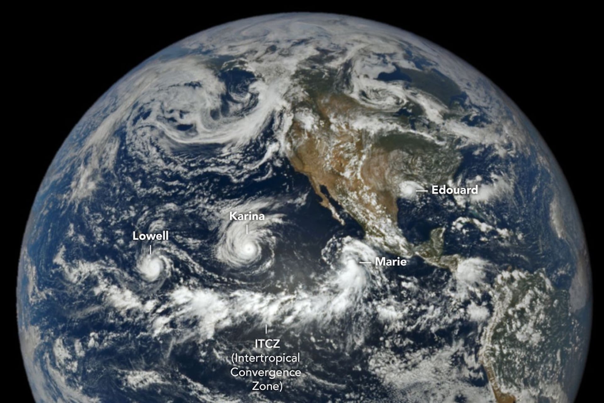
This week, NASA captured a rare trio of tropical cyclones spiraling in succession just above the equator in the northeastern Pacific. The storms include two current hurricanes, Lowell and Karina, as well as a tropical storm named Marie that is still intensifying as it tracks northwest in parallel to the Pacific coast. According to NASA, the satellite image documents just how unusually powerful the Pacific Ocean’s storms have become this hurricane season.
“Of the three, Lowell became the strongest, with winds reaching Category 5 strength for several hours on September 2,” Adam Voiland, a technical writer with the NASA Earth Observatory, explained in a post by the U.S. space agency. “Around the same time, Karina, spinning a few thousand kilometers to the east, achieved category 4 strength, a rare case of category 4 and 5 hurricanes occurring simultaneously in the area.”
But meteorologist Andrew Markowitz, a former chair of the American Meteorological Society, was willing to put it a little more dramatically: “The only other occurrence of this in the world was [hurricanes] Irma and Jose in September 2017 in the Atlantic,” Markowitz posted to X. “Wild stuff!”
Truly EPIC imagery
This rare procession of storms was photographed by NASA’s Deep Space Climate Observatory (DSCOVR) satellite this Tuesday, September 1, via its Earth Polychromatic Imaging Camera (EPIC). DSCOVR—a strategically significant platform co-managed by the U.S. Air Force—orbits about one million miles from Earth in a unique location where the gravitational pull between our planet and the Sun is equal, Lagrange Point 1, allowing it to hover in place over Earth’s sunlit side.
Also of note in the image is a curiously long horizontal band of clouds and thunderstorms along the equator, appearing to underline the three tropical cyclones. This line of storm clouds—which looks to be thousands of miles long—sits at the so-called Intertropical Convergence Zone (ITCZ), a collision of northeasterly and southeasterly trade winds that helps create tropical cyclones.
Fortunately, two of these three storms pose no risks to human populations on land, although the National Weather Service did issue an advisory for Hawaii, where “swells from Lowell are likely to cause life-threatening surf and rip current conditions during the next several days.”
🌡️ El Niño is firmly established and will intensify into a very strong event in the coming months. WMO forecasts show ~100% likelihood that it will persist through February 2027.
A very strong El Niño ≠ same impacts everywhere.
🆕 WMO El Nino Update: https://t.co/KUPq04jjkT pic.twitter.com/PAx1EZTCOH
— World Meteorological Organization (@WMO) September 3, 2026
“Literally off the charts”
Broadly speaking, the takeaway from this image is that the energy that’s been packed into the Pacific Ocean from climate-induced heating is in scary new territory right now. Subsurface temperatures in some patches of the Pacific this summer rose more than 14 degrees Fahrenheit (8 degrees Celsius) above normal, according to the United Nations’ World Meteorological Organization (WMO).
“If this trajectory continues, it may be stronger than anything since our monitoring began,” WMO Secretary-General Celeste Saulo told a press conference in Geneva this Thursday, according to Reuters. “So literally off the charts.”
These high subsurface ocean temperatures also mean that this super-charged El Niño is now forecast to drag on longer itself, raising the dire prospect of more months of extreme heat, flooding, and droughts, alongside these record-setting tropical cyclones, the WMO warned. The UN agency noted that it has taken the unusual step of forecasting that El Niño will persist on into February 2027 with “close to” 100% confidence.
“Never before has the UN weather agency issued such an unequivocal forecast for El Niño,” WMO stated in its announcement.
Consequently, the heat from the current El Niño is reportedly on track to generate intense Category 5 hurricanes at record-breaking numbers this year, and the rampant recent activity in the Pacific underscores that impact.
“We are already seeing the disruption and devastation caused by droughts and floods, and we expect these impacts to worsen as El Niño intensifies,” Celeste Saulo said.