The tensions between the American and Russian space program have ratcheted up another notch. In retaliation for a US ban on certain high-tech exports, Russia is refusing for their rockets to be used in military launches, and is threatening GPS base stations used in geodetic research.
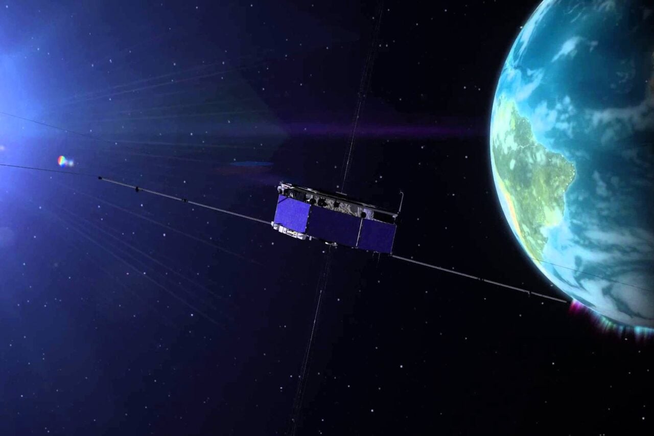
Artist impression of a GPS satellite in orbit. Image credit: NOAA
When NASA first suspended cooperation with the Russian space agency, astronaut Ron Garan warned that we had worked too hard for too long to sacrifice scientific cooperation for political squabbles. While it quickly became apparent that this was a tactic to put political pressure on funding a domestic replacement for the space shuttle, it’s already spilling over into messing up other avenues of scientific research.
https://gizmodo.com/spacex-f9r-rocket-completes-second-test-flight-1570717653
The sanctions are piling up in both directions, with a US restriction on export licenses for high-end technology being countered by a Russian ban on using their rockets to launch US military equipment. While the United States has several avenues for launching military satellites, then next bit of sabre-rattling is what has me concerned as a research scientist: refusing an extension on servicing the International Space Station, and threatening global navigation satellite system stations. (Original source if you read Russian.)
The International Space Station is currently scheduled to operate through 2020, but right now the only way to get crew to and from orbit is on the Soyuz rockets. Deputy Prime Ministry Dmitry Rogozin isn’t afraid to mock that limitation, repeatedly taunting that if NASA is serious about its sanctions, astronauts should use a trampoline to get into orbit.
https://twitter.com/embed/status/462296042436718595
Rogozin re-captioned the photograph in English as, “The one who doesn’t jump is a Moskal.”
The United States proposed extending the International Space Station mission incrementally through 2024, but right now Rogozin is playing coy, saying they’ll need to investigate the economic cost-benefit analysis at a later date. He’s even casually dropped comments on how the Russian portion of the station can separate and function independently. Not good, but at a decade away, I’m optimistic the current political mess will be resolved before it becomes a critical problem. Of more immediate concern is the dispute over global navigation satellite systems.
Global navigation satellites are in space, but the systems require ground-based stations to improve accuracy. Monitor stations collect atmospheric data, range/carrier measurements, and navigation signals, while ground antenna send out command and control signals. Several countries have their own version of global navigation systems to serve particular functions, usually including some element of strategic defence, but only the United States and Russia have truly global systems.
Russia has been trying to upgrade their version, GLONASS, by getting out more ground stations to improve the system’s accuracy. They’ve been asking for monitoring stations within the United States, but hit political pushback last year under fears that the stations would also serve as bases to spy on Americans or that the improved accuracy would allow Russian missiles to better target American cities. Now Rogozin is threatening to remove access to the American stations in Russia if they don’t get their own stations in the United States by the end of summer.
What impact does this threat have to the American Global Positioning Satellite system? Worldwide, the GPS network includes 2 master coordination stations (one primary, one backup), 16 monitoring sites, and 12 control antennas (all tucked in next to a monitoring site), none of which are in Russia. The overall impact on day-to-day use of the GPS system and its accuracy for either civilian or military users even within Russia is absolutely nothing.
So, what are theGPS stations within Russia’s boundaries? They’re passive base stations used in annual measurements of plate tectonic deformation. Threatening to cut off access to them would have zero impact on the functioning of GPS, but would bugger up international research on continental deformation, geodetic change over time, and understanding the complex dynamics of how rigid lithosphere slides around the surface of our planet. One of the key aspects of tracking change over time is to have absolutely consistent data-taking methods year after year, so suddenly chopping out a bunch of measurements would be seriously irritating for data quality. Continued escalation may also jeopardizes any other data products that rely on continued GPS/GLONASS cooperation.
Somehow, I just don’t see the uncounted voices of geophysicists whimpering that this will muck up their data as being sufficient motivation to resolve this complicated situation of misery before September 1st.
Thank you to Evgeny Petushkov of 360 Land Surveying for providing context on how GPS and GLONASS systems operate.