The Center for Land Use Interpretation, in Culver City, Los Angeles, opened a new exhibition on Friday exploring the contemporary state of solar power in the United States. The show includes extensive photographs of all existing solar power plants in the U.S. southwest, many of which were taken “from the air, using aircraft and remote control camera platforms.” A handy interactive map of U.S. solar power accompanies the show.
“This year,” the Center explains, “more energy will enter the grid from solar power plants than ever before. Propelled by federal government incentives and California’s legislated decrease in dependence of fossil fuels, construction started on several $1-2 billion power plants in 2011, with most of them coming online in 2014. With so many proposed projects, and so many stalled in the complicated political and regulatory process, it’s hard to know where things are really at. Over the past few weeks, photographers from the CLUI were dispatched to ground truth the current state of solar.”
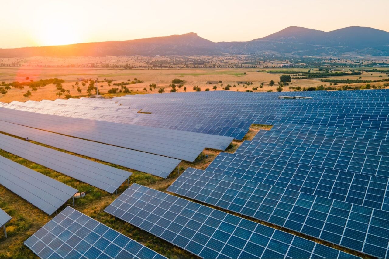
Check out the map for the dozens and dozens of sites; meanwhile, here are some aerial shots of some of the largest, all courtesy of CLUI. The resulting installations are equal parts land art and national energy infrastructure—at times strangely beautiful—sprawling and crystalline mirrors shining like holding ponds in the desert. [Center for Land Use Interpretation]
California Valley Solar Ranch, California
Mojave Solar Project, California
Copper Mountain Solar 3, Nevada
Genesis Solar Plant, California
Ivanpah Solar Polar Plant, California
SEGS 3-7 (Kramer Junction), California
Mount Signal Solar, California
Topaz Solar Farm, California
All images courtesy of the Center for Land Use Interpretation