My eastern tropical Pacific sea surface temperatures watchers, get hype. An El Niño Watch is in effect.
The climate phenomenon that starts with warmer than normal waters in the eastern tropical Pacific and alters weather around the world has a pretty good chance of forming later this year. According to the National Oceanic and Atmospheric Administration (NOAA), which announced the watch on Thursday, there’s a 50 percent chance El Niño conditions will emerge this fall. The odds go up to 65 percent by the time winter rolls around.
The agency issues watches when “when conditions are favorable for the development of El Niño or La Niña conditions within the next six months.” Right now, models are showing a weak-to-moderate El Niño could be in the cards. But it’s way to early to speculate on the flavor of El Niño we could get at this point, which is about as useful as definitively saying where Lebron is going to end up (please let it be the Celtics).
But we can talk about why the odds are tipping toward El Niño. For one, ocean temperatures just below the surface are pretty toasty. Subsurface heat content this May was the sixth-warmest on record for the month.
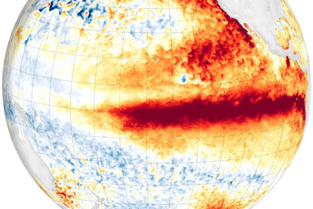
Heat below the surface does not an El Niño make, though—you’ve got to get that hot water to the surface. Looking at the average temperatures on the surface of the tropical Pacific shows that things are decidedly neutral right now. However, there are key differences when you look on either side of the equator that could provide an opening for that subsurface heat to peek through.
The Pacific is a bit warmer than normal to the north, and cooler than normal to the south. This pattern is the positive phase of what’s known as the Pacific Meridional Mode. And it matters because the trade winds—which blow from east to west along the equator—tend to weaken during this positive phase. That could, in turn, let the warm water beneath the surface work its way east and eventually burble up to the surface
It will take months for these processes to play out, which is why we’re only in an El Niño Watch. But if El Niño does emerge, it could be a bit deal, because the pattern has a number of impacts on the world’s weather.
If El Niño forms in fall, it could put the kibosh on the tail end of hurricane season: El Niño tends to increase upper level winds that can inhibit hurricane formation in the Atlantic basin. El Niño also generally means more precipitation along the southern tier of the U.S. and drier conditions in the Northwest during the winter.