With spring in full swing, warmer, wetter weather is typical for April. But according to the latest models, the start of the month could bring a heightened risk of severe thunderstorms to the Central and Eastern United States.
On Thursday, storms battered parts of the Midwest and Ohio Valley with powerful wind gusts, heavy rain, and large hail. Various weather warnings remained in effect for large swaths of the Central and Eastern U.S. Friday morning, including wind-related alerts from western Texas to Minnesota and flood warnings in the upper Ohio Valley.
As the low-pressure and cold temperatures associated with these storms trek east, severe thunderstorms could continue to impact central and eastern states through the beginning of April. The National Weather Service’s Storm Prediction Center forecasts a 15% to 30% higher probability for severe thunderstorms over the next four to eight days.
Where storms are most likely to hit
While the predicted impact areas are largely unclear, the SPC expects a low-pressure system to move across the Canada-U.S. border from Monday to Tuesday, encouraging storm formation across the northern Plains.
Some models suggest the upper Mississippi Valley could see some supercell thunderstorms—which are particularly hazardous and long-lasting—though this remains uncertain.
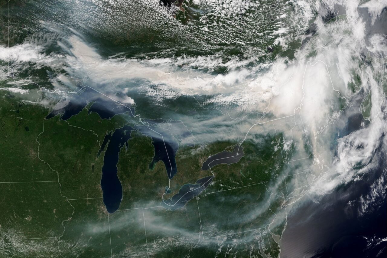
As the low treks east and intensifies Tuesday into early Wednesday, the SPC expects the risk of severe thunderstorms to increase across portions of the upper Great Lakes. Humid air flowing into the region could promote deep convection along a trailing cold front as it pushes southeast into the Midwest and Mississippi Valley. The strongest storms are most likely to form near Lake Michigan, the SPC reports.
More tornadoes on the way?
This severe weather pattern will likely be driven by slow-moving tropical forces in the Pacific, according to meteorologist Ben Noll. The influence of warm, moist air in the tropics will promote low pressure in the western U.S., which should cause frequent warm, moist, and unstable systems to flow eastward, he explained.
Severe thunderstorm risks will be on the rise across the Central and Eastern United States into April.
Slow-moving tropical forcing in the Pacific will probably favor low-pressure in the West, which should lead to frequent warm, moist and unstable flows to the east. pic.twitter.com/OiOnxGjwdi
— Ben Noll (@BenNollWeather) March 26, 2026
This trend will be a continuation of the severe weather that has pummeled the Central and Eastern U.S. throughout March. Two weeks ago, the regions faced giant hail, heavy precipitation, high winds, and scattered tornadoes as a barrage of supercell thunderstorms trekked across the country. The storms devastated parts of Illinois and Indiana, destroying numerous homes and killing three people.
Many central and midwestern states were still reeling from a scourge of tornadoes during the first week of March, particularly Oklahoma and Michigan. Eight people were killed by that outbreak.
It’s too soon to say whether the elevated risk of severe thunderstorms over the next week will also lead to an increased risk of tornadoes, but it is possible—especially if supercell storms take shape. These rare storms are characterized by a deep and persistent rotating updraft called a mesocyclone, which allows them to produce damaging winds, very large hail, and sometimes tornadoes.
While none of this is completely out of the ordinary for early spring, seeing multiple severe tornado outbreaks in March does signal an early start to twister season. As average temperatures climb in April, atmospheric instability will likely increase, so there’s a good chance this active pattern is here to stay for a while.