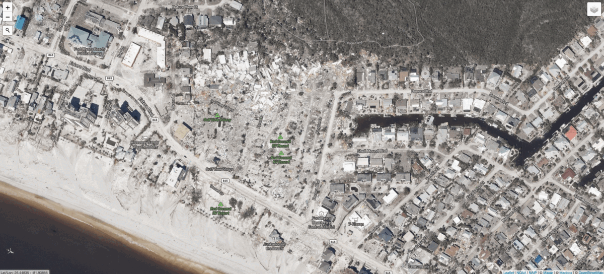
Hurricane Ian tore across Florida last week, killing at least 105 people in the state and leaving destruction in its wake. Hundreds of thousands of households remain without electricity, and multiple counties are under boil water notices after the storm damaged crucial infrastructure.
In an attempt to understand the full scope of Ian’s impact, the National Oceanic and Atmospheric Administration collected aerial imagery of many of the hardest hit areas. NOAA has previously done the same following other severe storms, like Hurricane Ida in 2021. Side by side, the aerial photos compared with satellite imagery captured before the storm illustrate the true extent of the destruction.


