As meteorologists around the world grow increasingly confident that a “super” El Niño could be just around the corner, one weather agency has already made the call.
In a statement translated by Gizmodo, the Japanese Meteorological Agency (JMA) officially declared the onset of El Niño today. The JMA is the first major weather organization to make this call. According to the statement, Japan is bracing for above-normal temperatures across the nation as a result of above-average Pacific sea surface temperatures.
On Monday, the National Oceanic and Atmospheric Administration (NOAA) estimated that there is an 82% chance of El Niño emerging in June. The agency should release an updated El Niño forecast on Thursday, but according to former NOAA meteorologist Alan Gerard, the U.S. is still weeks away from a formal El Niño declaration.
El Niño looking inevitable
NOAA does not declare El Niño until sea surface temperatures in the Niño-3.4 region—the primary part of the equatorial Pacific Ocean used to track El Niño and La Niña—remain or are expected to remain at least 0.9 degrees Fahrenheit (0.5 degrees Celsius) above average for five consecutive, overlapping three-month periods.
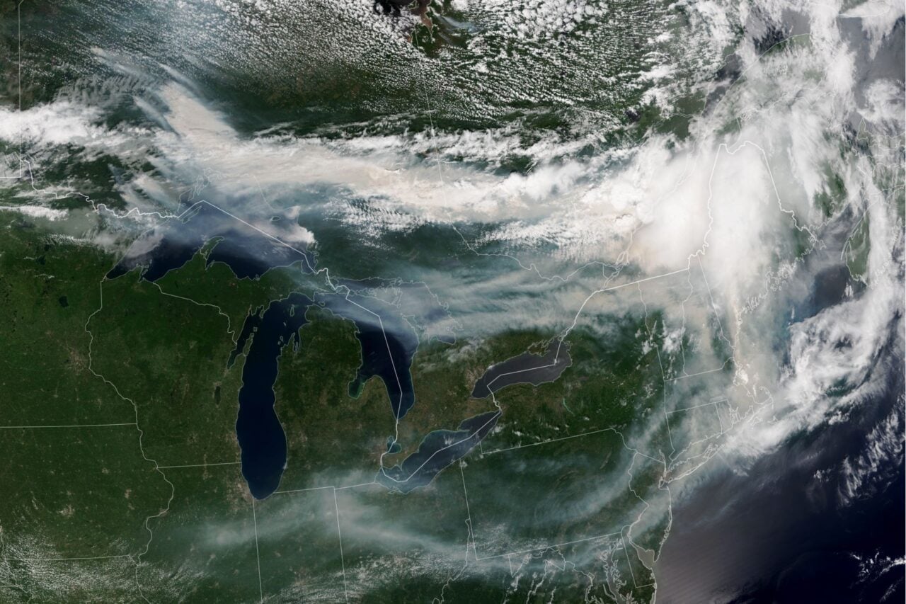
Still, the atmosphere is already showing some telltale signs of El Niño, Gerard reports. Three named storms have formed in the eastern Pacific within the last 10 days, marking an early, active start to the basin’s hurricane season.
The first, Tropical Storm Amanda, took shape on June 3 and has since dissipated. Tropical Storm Boris followed on Monday and made landfall on the Pacific Coast of Mexico on Tuesday, bringing heavy rain and a risk of flash flooding. Now, the National Hurricane Center is tracking Tropical Storm Cristina as it drifts westward just south of the coast of El Salvador, threatening to bring more heavy rainfall, flooding, and mudslides to Central America.
Elevated storm activity in the Pacific basin is symptomatic of El Niño because above-average sea surface temperatures cause the ocean to offload more heat into the atmosphere, helping storms organize and intensify.
Other atmospheric signs of El Niño include weakened easterly trade winds, reduced cloudiness and rainfall over Indonesia, and increased cloudiness and rainfall over the central or eastern Pacific basin. According to NOAA’s Monday update, some of these anomalies are taking shape. The agency points to shifts in rainfall and cloudiness consistent with more convection in the central and eastern Pacific and suppressed convection over parts of the western Pacific, which could signal the start of a transition to El Niño.
Models point to monster El Niño
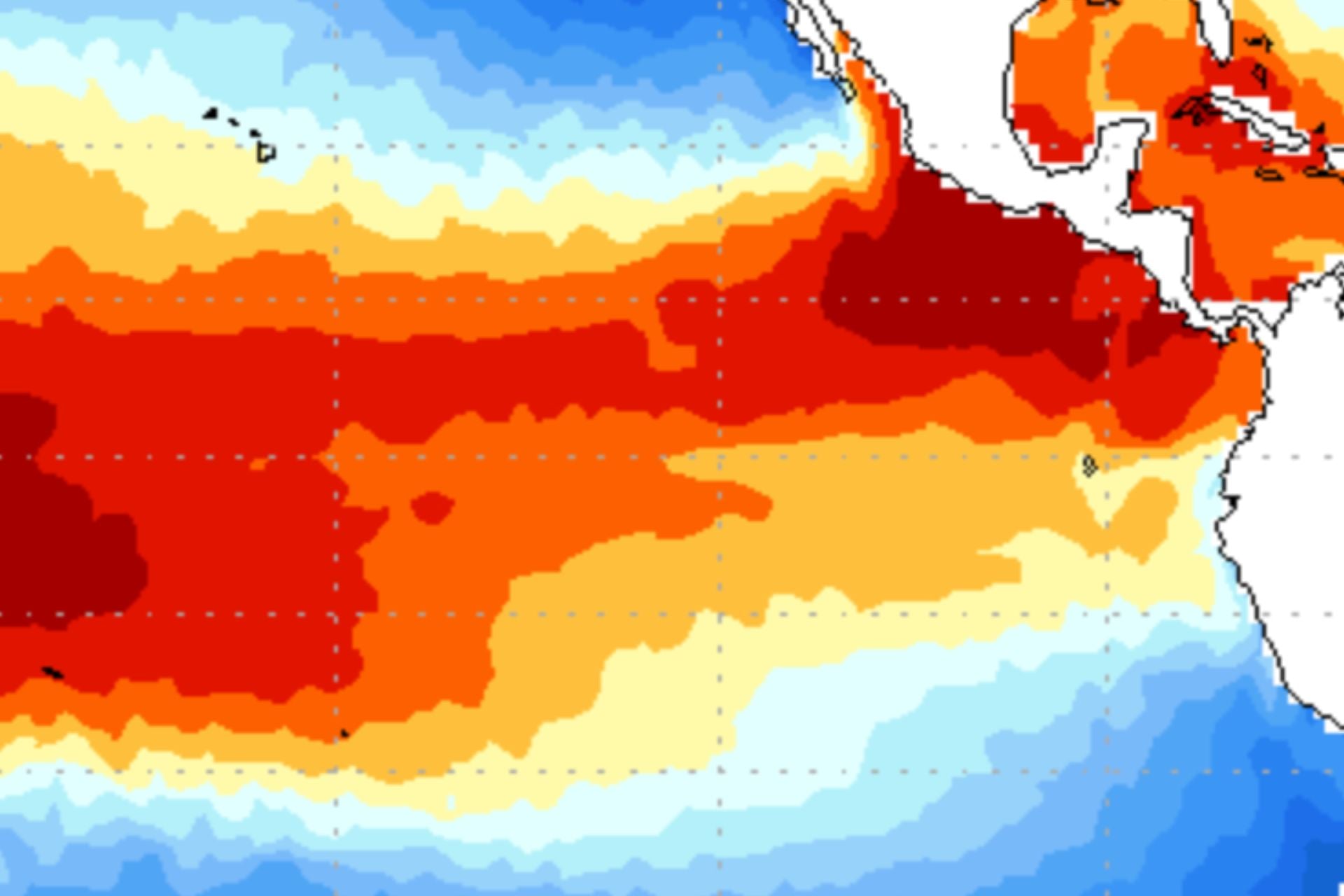
In the weeks leading up to summer, model forecasts for El Niño have intensified, increasing the likelihood that this El Niño could become the strongest on record. The latest data from the European Centre for Medium-Range Weather Forecasts shows Pacific sea surface temperatures rising up to 6.8 degrees Fahrenheit (3.8 degrees Celsius) above average by December.
Such an event would blow past El Niños out of the water, no pun intended. Meteorologists have warned that this could lead to more frequent and intense bouts of extreme weather, record-breaking global temperatures, and major food shortages.
It’s still too early to tell exactly how severe this El Niño will be, but the fact that one major weather agency has already made the call suggests others may be close behind.