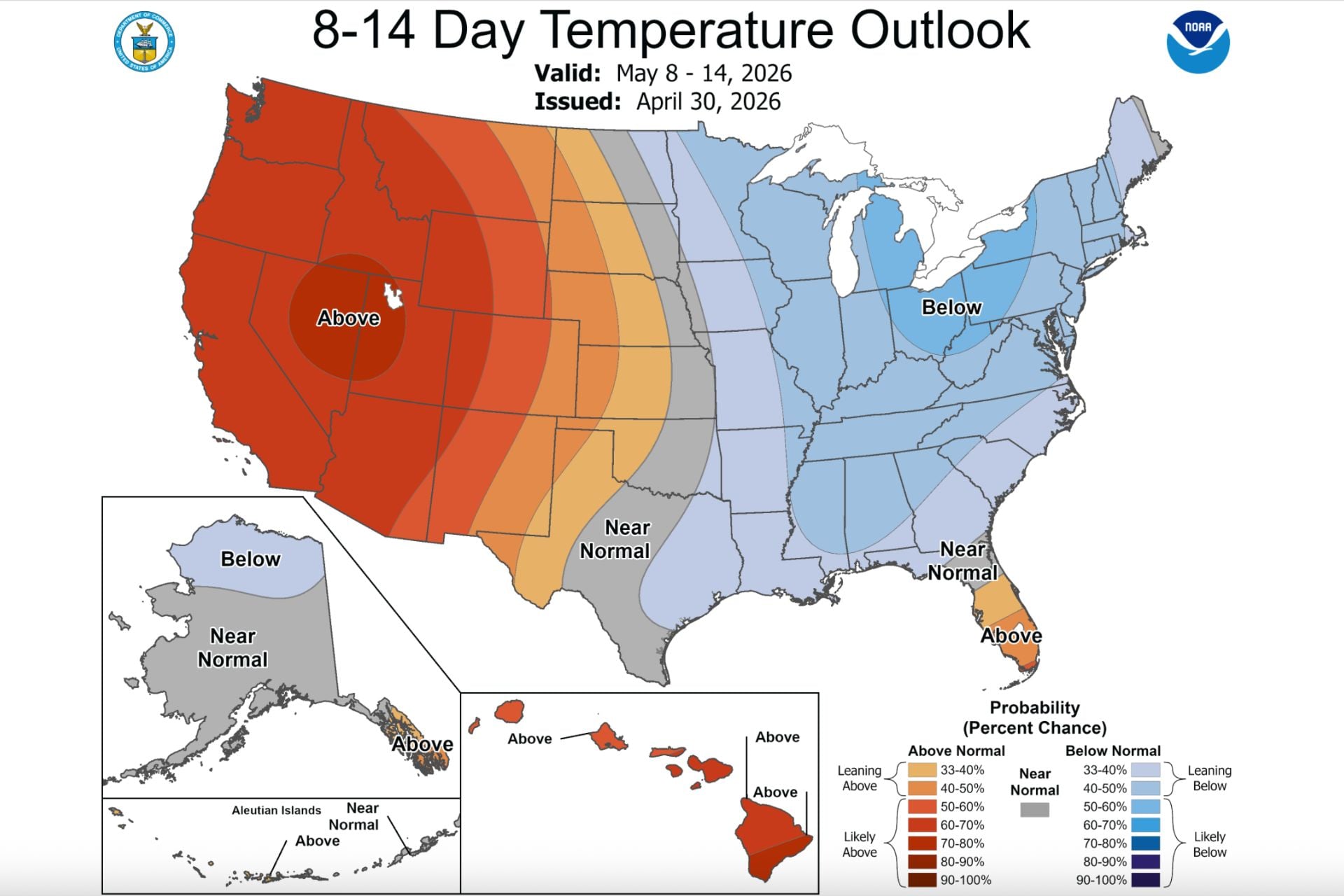
May typically ushers in mild, pleasant weather, but perhaps not this year. Two starkly different, but equally unseasonable temperature trends will split the U.S. this month, potentially worsening drought in the West while the East endures freezing cold.
During the first two weeks of May, a dip in the jet stream is set to bring below-average temperatures and stormy conditions to most of the Eastern U.S. from West Texas to Maine, according to the National Weather Service’s Climate Prediction Center. At the same time, a large area of high pressure is building over the Western U.S., leading to an increased likelihood of above-average temperatures.
An eastern freeze
Significantly below-average temperatures will linger through the weekend for much of the Eastern and Southern U.S., according to the NWS. In the Southern Plains and Southern Rockies, temperatures could dip about 30 degrees Fahrenheit (17 degrees Celsius) below the seasonal average.
Texas and parts of the Lower Mississippi Valley could see record-low daily maximum temperatures in the 50s Fahrenheit (roughly 10 to 15 degrees Celsius). The Southeast, Mid-Atlantic, Northeast, and Midwest are also in for a weekend of much-below-average temperatures.
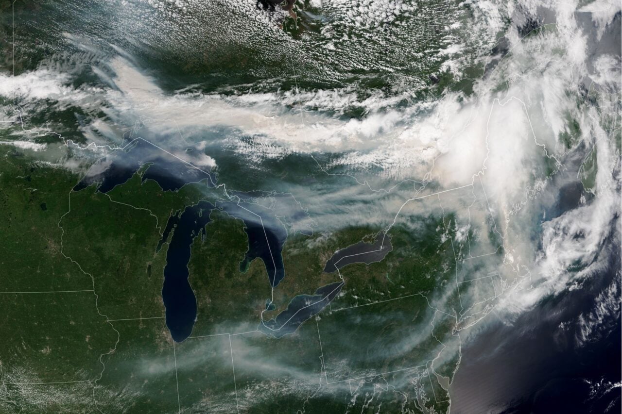
The NWS has already issued frost advisories, freeze warnings, and freeze watches across large swaths of several midwestern states, including Nebraska, Iowa, Missouri, Wisconsin, Michigan, and Indiana. In the Southeast, some much-needed rain has provided a bit of drought relief and helped firefighters gain control of several large wildfires in Georgia and Florida.
While the CPC’s two-week outlook does not forecast specific temperatures, it shows a strong likelihood that the current conditions will hold at least through mid-May. According to meteorologist Ben Noll, a particularly wavy jet stream is behind this extended cold snap. This will allow multiple rounds of chilly air from Canada to blast the East, keeping temperatures stubbornly low.
The West heats up
Farther west, it’s a different story. The NWS expects above-average temperatures to spread through the Pacific Northwest, Northern and Central Great Basin, and California this weekend. It could get particularly warm in the Pacific Northwest, where temperatures may approach 90 degrees Fahrenheit (32 degrees Celsius).
The high-pressure ridge centered over the Great Basin should lock the West into this unseasonably warm pattern, according to the CPC. With only four weeks left until the meteorological start of summer, it’s unlikely the region will see a meaningful cooldown anytime soon.
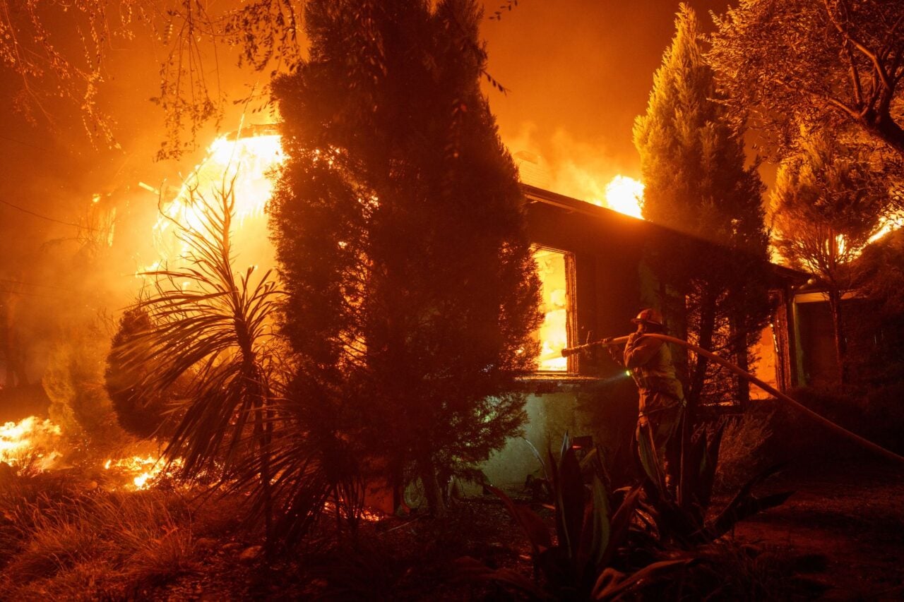
It’s already been an exceptionally warm, dry winter and spring for the West. This has thrust the region into a historic snow drought that experts worry could lead to an early and severe wildfire season. Above-average May temperatures certainly won’t help the situation. Persistent ridging will only exacerbate hot, dry conditions, producing a parched landscape that has all the ingredients for wildfire ignition.
Of course, this dichotomous May outlook is preliminary, but it appears the nation will keep riding the spring weather rollercoaster for the next couple of weeks. How these two trends actually unfold could have a significant impact on summer conditions and weather hazards.