Millions of years ago, the land you’re currently sitting on was located at a completely different latitude. Your backyard crossed thousands of miles to reach its particular point on the planet, and with a new digital tool, you can retrace its journey throughout Earth’s history.
An international team of Earth scientists led by Douwe van Hinsbergen, a professor of global tectonics and paleogeography at Utrecht University in the Netherlands, developed a website that lets you plug in any location on the planet and see how its latitude has changed over the past 320 million years. The site, called paleolatitude.org, is built on the Utrecht Paleogeography Model, which reconstructs the movement of Earth’s tectonic plates dating back to the age of the supercontinent Pangaea.
“It took 10 years and a lot of nerdy work to get this done,” van Hinsbergen told Gizmodo. He hopes that this accessible tool will not only get people excited about paleogeography but also aid research across a range of fields.
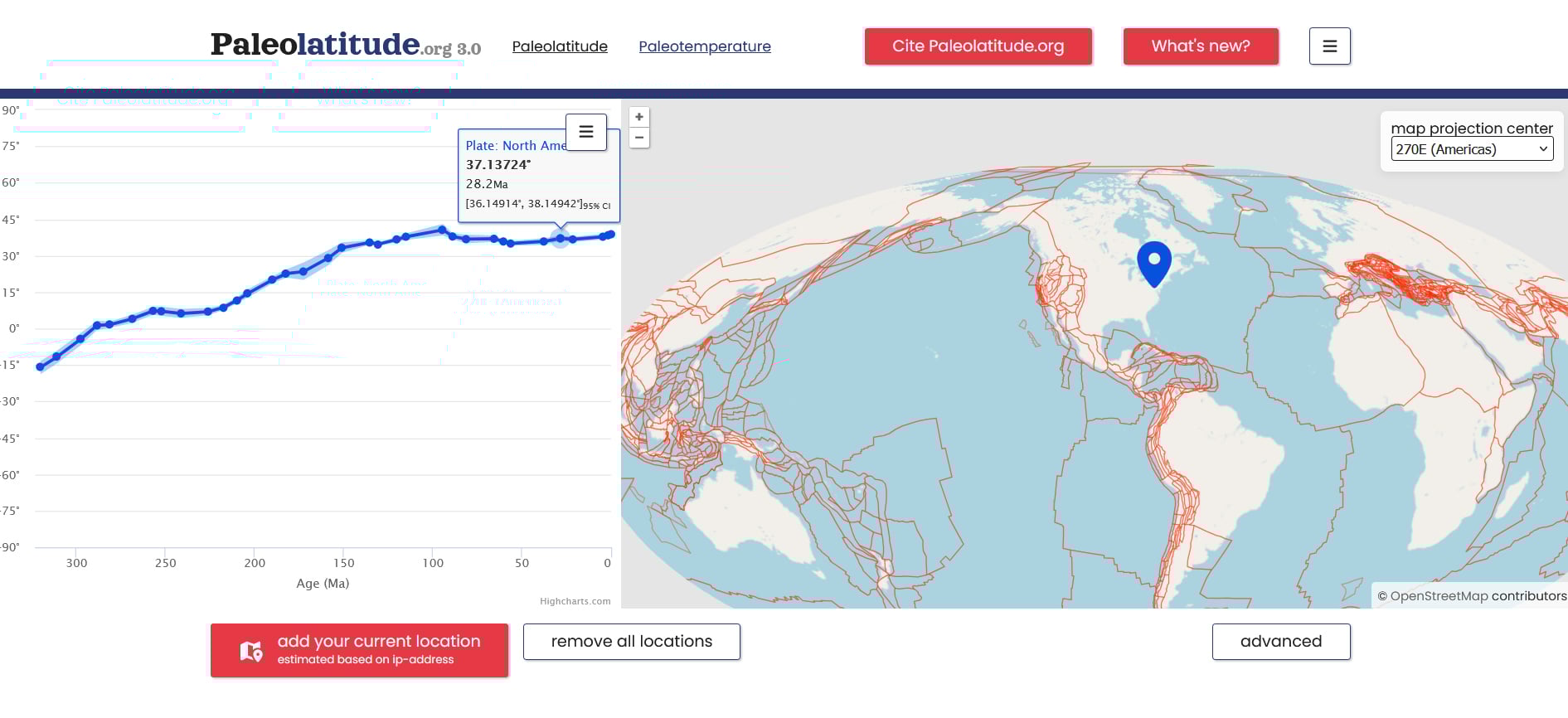
Once you plug in your desired location at the paleolatitude.org site, a chart will appear on the left side of the screen that maps its change in latitude (on the Y axis) over millions of years (shown as “age (Ma)” on the X axis). By tracing the blue line, you can eyeball how that location has drifted north or south throughout Earth’s history. Of course, this does not reveal changes in longitude—east-to-west movement—and the tool does not offer an animated view of the location migrating across the globe, which would have been nice to see.
Continents on the move
From roughly 320 million to 200 million years ago, the North American continent was contiguous with Africa, South America, and Europe, existing as a single continent called Pangaea. Then, a three-pronged fissure tore Africa, South America, and North America asunder, creating a volcanic rift zone that unleashed powerful eruptions as magma surged through the weakened crust.
Eruptions spewed ash and volcanic debris as the continents diverged and the widening gaps between them formed the Atlantic basin. Over millions of years, they split further, shifted, and drifted into the map of the world we know today.
A decade ago, van Hinsbergen and his colleagues developed a plate tectonic reconstruction for the major plates, but it did not include the intensely deformed regions between the plates, such as the Caribbean, the Himalayas, and the Mediterranean. These regions are “relics of plates that once existed at the Earth’s surface but have gone into the mantle,” van Hinsbergen explained.
“My colleagues and I have reconstructed all those regions in enormous detail,” he said. The result is a refined global model that will allow researchers to connect rocks back to the plates they originally formed on, even though those plates have disappeared into the mantle. They will also be able to trace the latitudinal journeys of those rocks through deep time.
A multidisciplinary asset
This tool will be particularly useful for paleoclimatologists—scientists who reconstruct Earth’s ancient climates. Many do this by analyzing geological samples, but because latitude determines the angle of the Sun’s rays and therefore the regional climate, they need to know where those rocks were located during the period they’re reconstructing.
For example, Utrecht geoscientists are studying 245-million-year-old geological features in the Netherlands that point to a past climate similar to that of the modern-day Persian Gulf, with desert next to tropical sea.
“Does that mean the global climate has changed dramatically over the last 250 million years and has cooled down? Or was the Netherlands at the location of the Red Sea? Or of the Gulf of Persia?” van Hinsbergen said. “If you look in the latitude, you will see that we were then at the latitude of the Persian Gulf.”
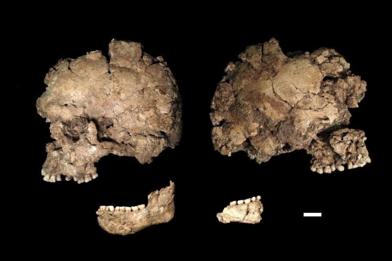
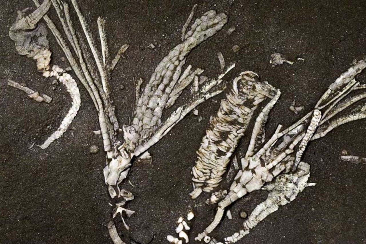
This tool will also help paleontologists understand how biodiversity has developed across different latitudes—and thus different climates—throughout Earth’s history. For example, using this tool to analyze the fossil record could reveal which latitudes became uninhabitable and which became refuges after mass-extinction events, according to Utrecht paleontologist Emilia Jarochowska, who helped create paleolatitude.org.
Next, van Hinsbergen hopes to build maps that show where fossilized species once lived in relation to the moving continents and how their distributions shifted through different latitudes and climate belts. As his team continues to refine these tools, Earth’s ancient history will reveal itself in greater detail.