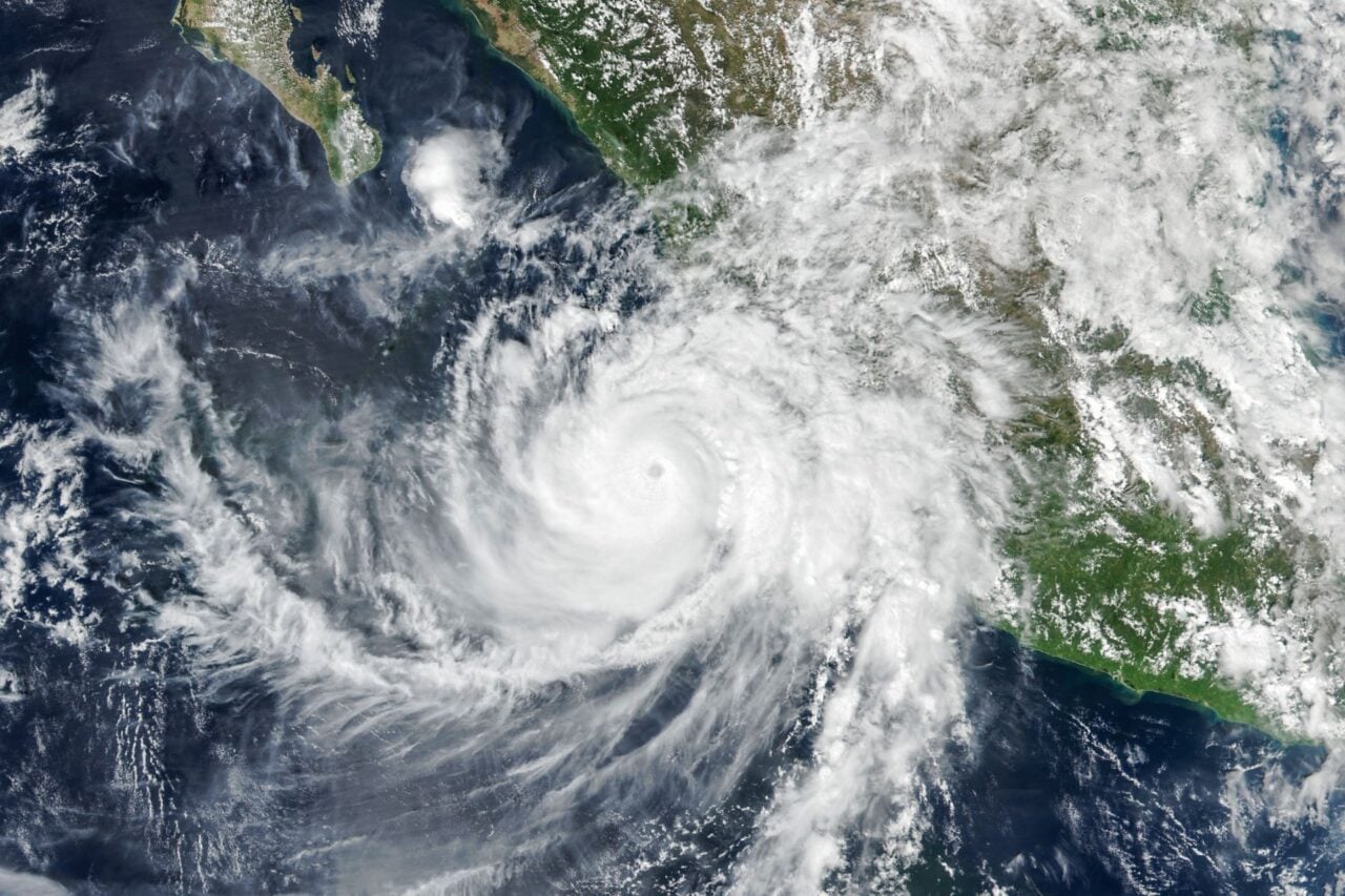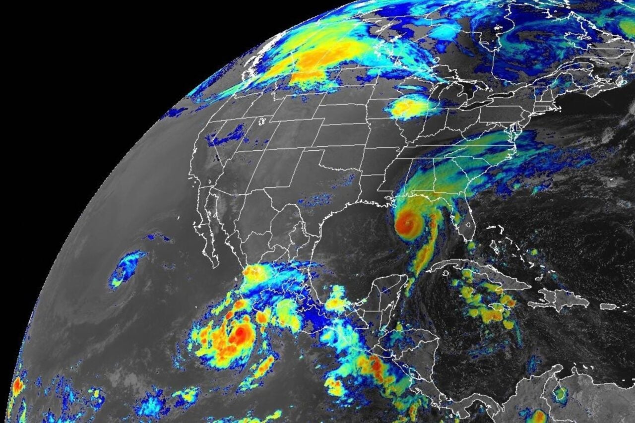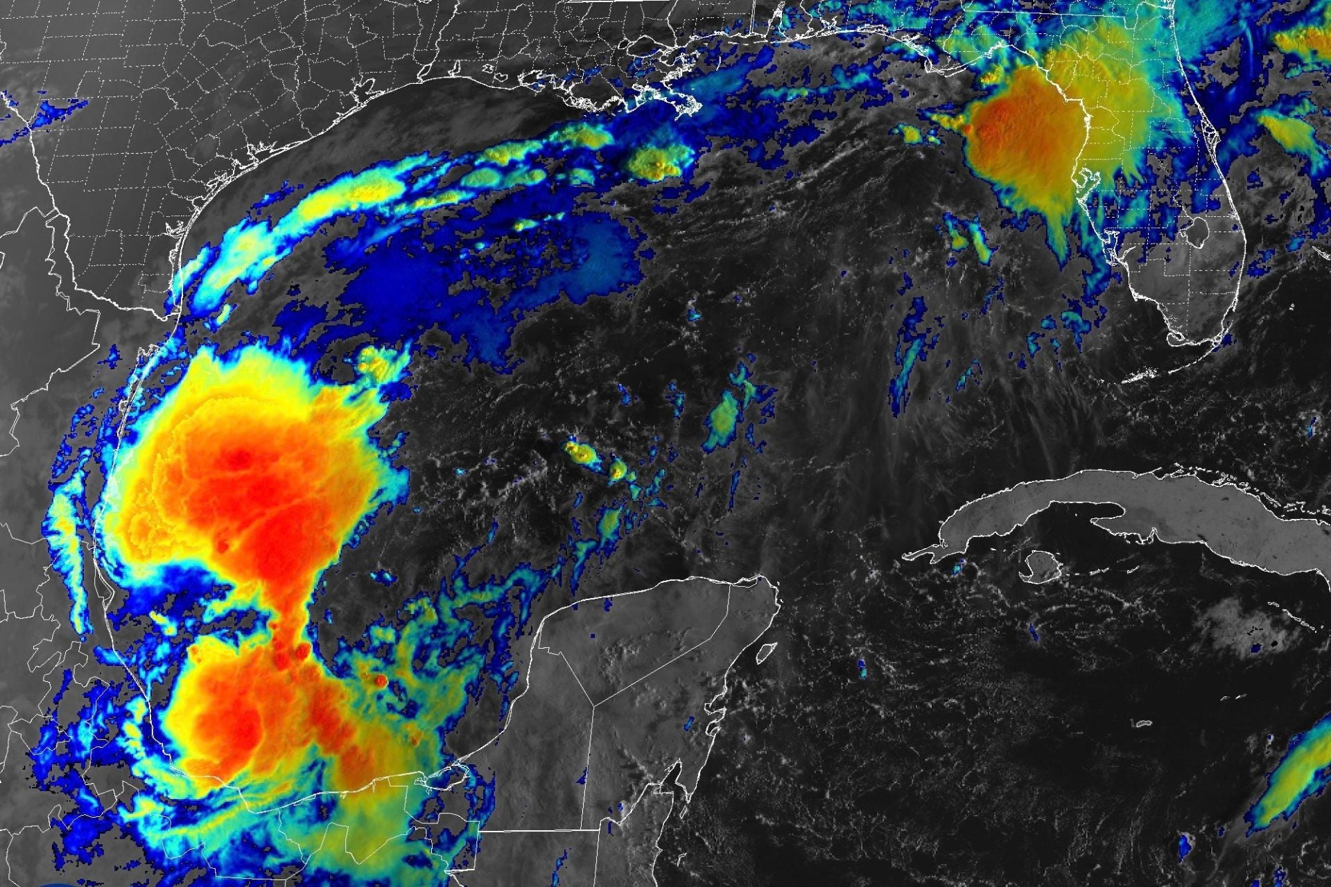
Thanks to a rapidly strengthening El Niño, Atlantic hurricane season has been exceptionally quiet so far. The Atlantic basin has yet to produce a single hurricane, but a storm developing off the Gulf Coast of Mexico looks like it could become the first of the season.
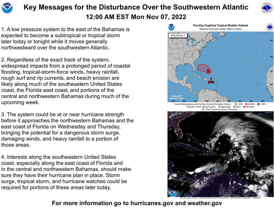
Forecasters at the National Hurricane Center (NHC) expect this system, currently called AL92, to develop into a tropical depression within the next day or so. The storm should continue to strengthen as the week progresses before turning northward toward the Gulf Coast of the United States. While it’s still too early to predict impacts to the region with any certainty, there is a 90% chance that AL92 will become a cyclone within the next 48 hours, so it will likely pack a punch.
“Regardless of development, heavy rainfall and associated flooding impacts could occur over portions of the northern Gulf Coast, the southeastern United States, and Florida later this week and this weekend,” the NHC states.
The National Weather Service (NWS) has issued small craft advisories from the eastern coast of Louisiana to the northeast coast of Florida, as well as scattered flood-related advisories.
Where could this storm hit, and how hard?
Weather models show various scenarios for this storm’s track and development over the next several days. According to Google DeepMind’s WeatherNext 3 model, AL92 will likely reach peak strength between Thursday and Friday, and its maximum sustained wind speed could range from Category 1 to near Category 5 strength.
Potential landfall locations stretch from Biloxi, Mississippi, eastward to the unincorporated community of Seaside on the Florida Panhandle. All ensemble members show the storm continuing northward into the inland Southeast, potentially reaching Tennessee or Kentucky, but it will weaken as it moves over land. By Sunday, it should be downgraded to a post-tropical cyclone, though it could still bring major impacts to inland states.
The National Oceanic and Atmospheric Administration’s (NOAA) Global Ensemble Forecast System provides a similar outlook on storm tracks. The agency has not issued a statement on the system’s expected strength but is advising interests from the Florida Panhandle to Louisiana to closely monitor its development.
“The NOAA Gulfstream is scheduled to sample the environment over the Gulf later today and an Air Force reconnaissance aircraft is scheduled to investigate the system tomorrow,” the NHC states.
A record-late Atlantic hurricane?
If this system does become a named storm, it will be called Isaias. And if Isaias reaches hurricane strength after Thursday, it will break a record that has stood for 121 years.
October 8, 1905, is the latest date on record for the first Atlantic hurricane of a season, according to the NWS. El Niño is the main reason why the 2026 season has been exceptionally quiet. This climate phenomenon increases vertical wind shear across the Atlantic basin, making it harder for cyclones to organize and strengthen.
That’s a major benefit to the U.S., which receives the vast majority of its landfalling hurricanes from the Atlantic. But as we’ve seen over the past several months, El Niño also ramps up hurricane activity in the Pacific. Those storms don’t tend to make direct landfall in the U.S., but they can still have a huge impact on the nation’s weather. Last week, for example, remnants of Hurricane Polo battered southwestern and central states with heavy rain and flooding.
As AL92 develops, the southeast is now bracing for potentially similar impacts. Forecasters should be able to provide clearer predictions for its track and intensity in the next couple of days.