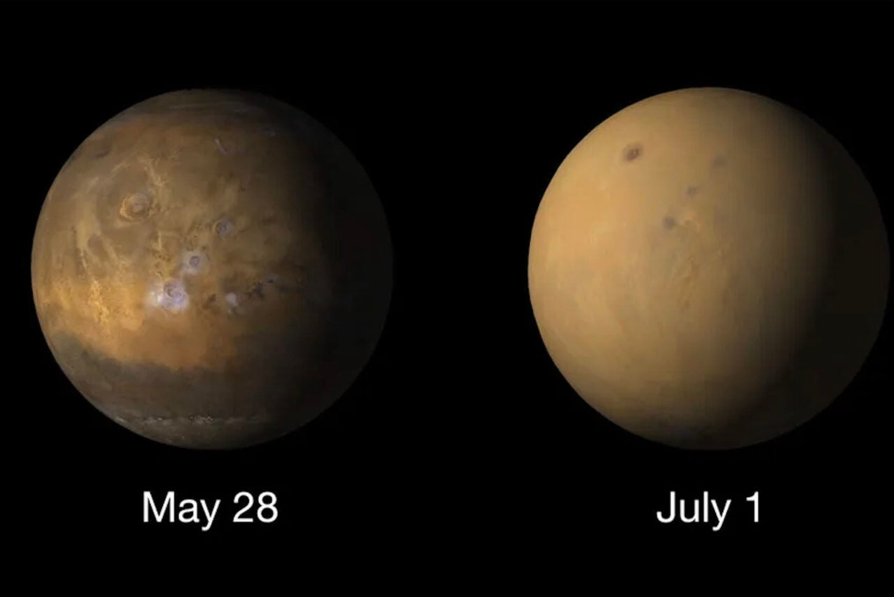
Mars isn’t just an endless stretch of dull red dirt — different parts of the planet’s surface are geomorphologically distinct, with some parts boasting dunes, craters, or flood channels, while others feature evidence of avalanches, dust devil trails, and stratified terrain.
Casey Rodarmor made this composite using images from the
High Resolution Imaging Science Experiment (HiRISE) camera aboard the Mars Reconnaissance Orbiter. The images are obviously not true to the color of the Red Planet, and when Rodarmor posted the image to reddit’s Space Porn subreddit, fellow user robolith chimed in with this comment about the colors:
HiRISE has three sets of detectors Blue-Green (BG, 400-600 nm), Red (550-850 nm) and NIR (800-1000 nm).
http://www.lpi.usra.edu/meetings/sixth…[1]
Since blue and green are not separately measured the mapping of BG/Red to RGB-space is somewhat arbitrary. Different scientists will use different mapping schemes to enhance the features they’re interested in. I’m not 100% sure about the RGB jpg-extras that I assume you’ve downloaded but I think they assign the BG-channel as RBG-blue, the Red channel as RGB-red and then set RGB-green to interpolate between Red/BG. Then each RGB-channel is contrast streched over the full image.
Mars Surface Composite [r/SpacePorn]