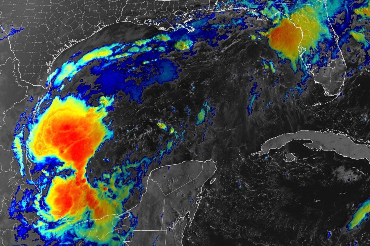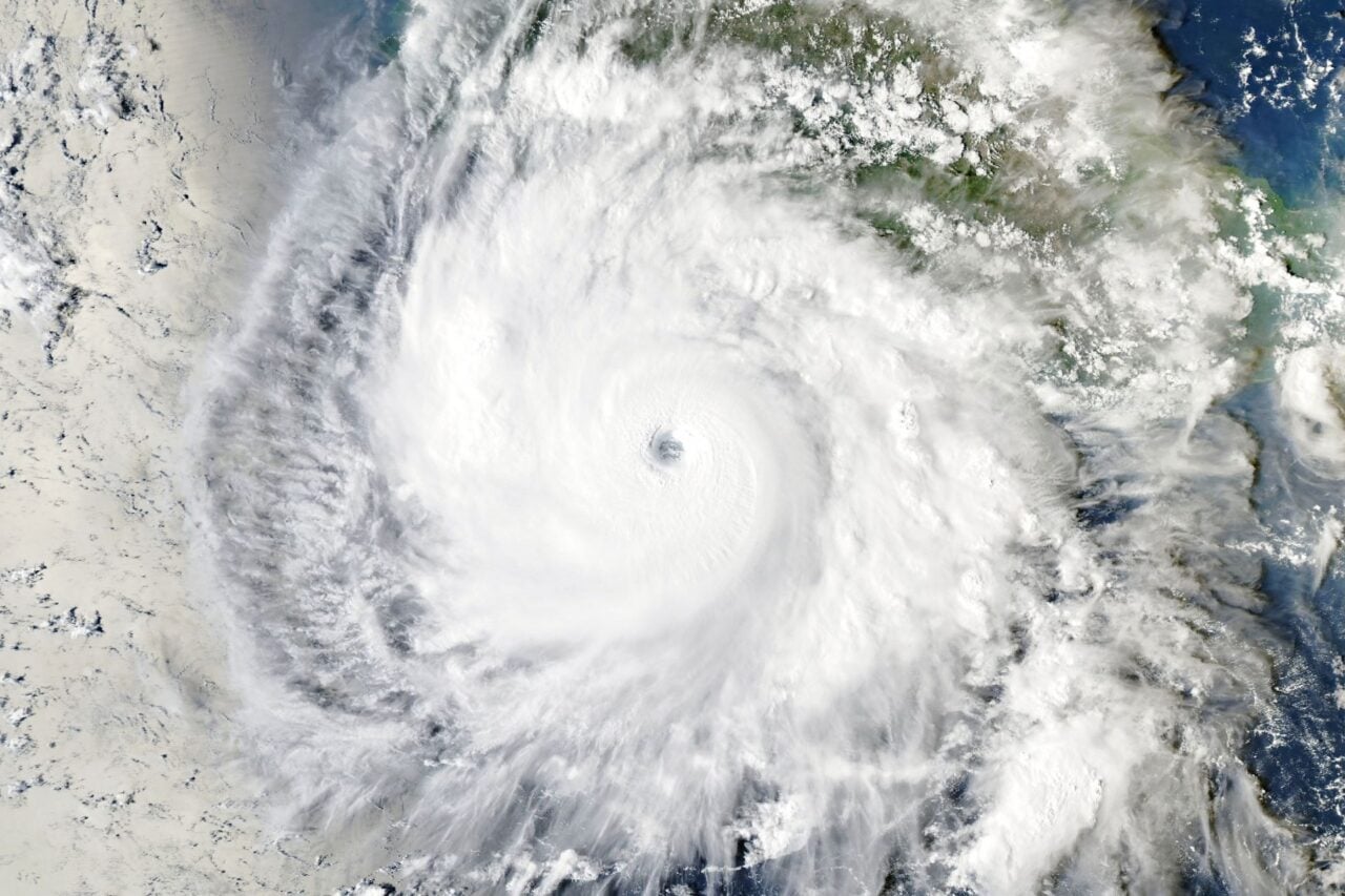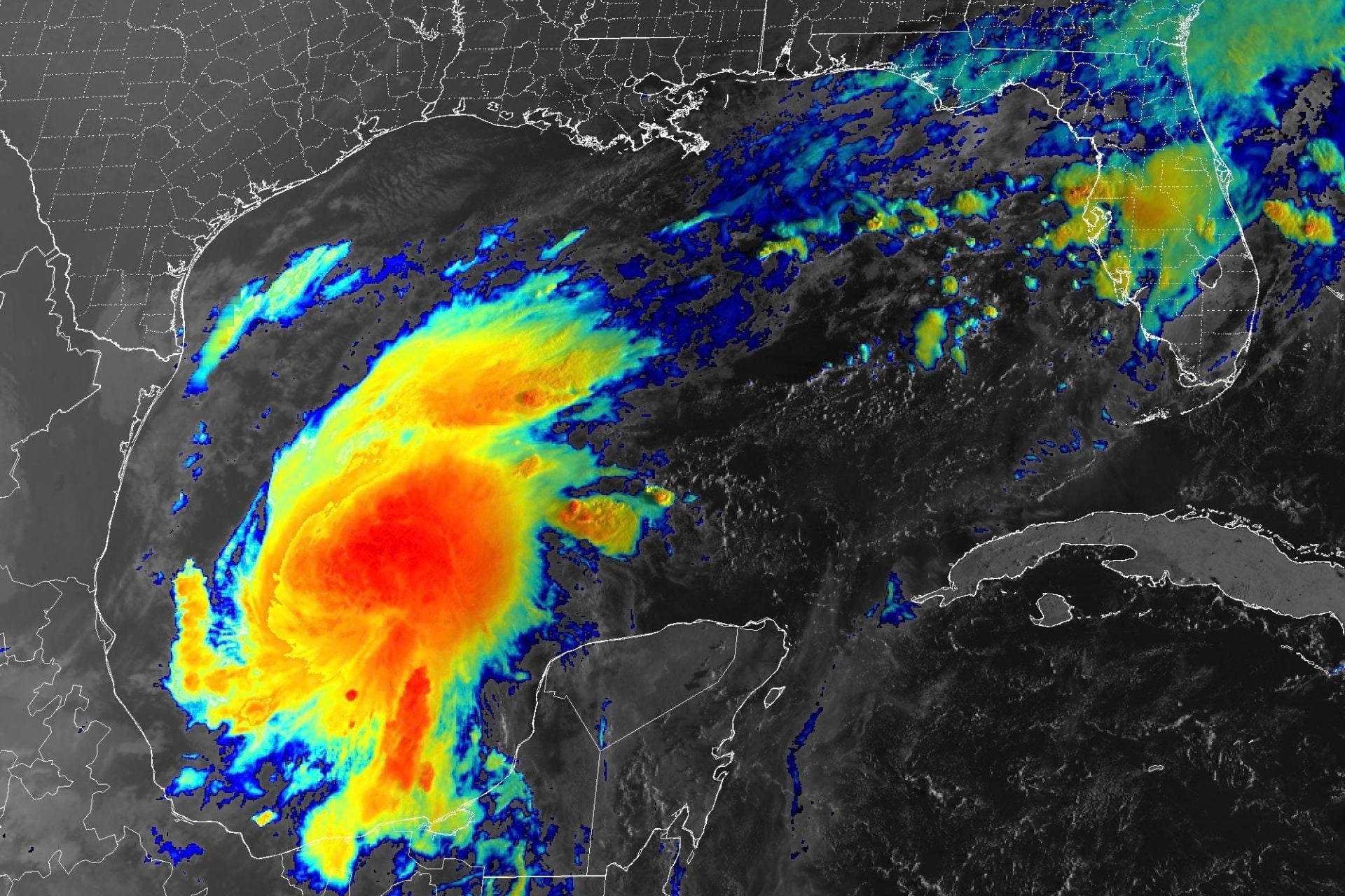
Tropical Storm Isaias, which took shape overnight in the warm waters off the eastern coast of Mexico, is now tracking toward the United States. Forecasters expect the cyclone to rapidly strengthen over the next couple of days before making landfall on the U.S. Gulf Coast as the first hurricane of the 2026 Atlantic season.
In a statement issued at 5 a.m. ET today, the National Hurricane Center (NHC) said models show Isaias developing an inner core—a precursor to hurricane formation—later today. In about 48 hours, NHC forecasters expect the storm’s winds to reach their maximum intensity at 109 miles per hour (175 kilometers per hour) over the central Gulf of Mexico. That would make Isaias a Category 2 hurricane at peak strength.
According to the NHC, vertical wind shear—which can tear apart and weaken hurricanes—should increase dramatically in the last 24 hours before Isaias makes landfall somewhere between eastern Louisiana and the Florida Panhandle. Despite this, “it is looking more likely that Isaias will be a significant hurricane when it reaches the coast,” the agency’s statement reads.
Hurricane warnings are in effect
Google DeepMind’s WeatherNext Cyclones, an AI forecast model the NHC uses as part of its operational forecasting toolkit, shows Isaias making landfall on the western end of the Florida Panhandle as a Category 1 hurricane in the early hours of Saturday. However, the exact timing, location, and strength of this storm’s landfall remain largely uncertain.
The National Weather Service (NWS) has issued hurricane warnings for the waters in the central Gulf, as high winds and rough seas could pose a threat to ships in the area. NWS forecasters have also issued small craft advisories and isolated rip current warnings along the Gulf Coast from eastern Texas to western Florida.
While Isaias isn’t expected to make landfall until the weekend, the outer bands of this storm could begin to impact Gulf Coast states by Friday morning.
“Locally heavy downpours across northern to central Florida could lead to a few inches of rain daily, with isolated flooding or ponding possible, particularly in urban areas,” the NWS stated early this morning. “Heavy rainfall lurking just off the Gulf Coast will begin progressing northward Thursday night as Tropical Storm Isaias is forecast to turn toward a more northerly direction, raising the threat of heavy rain reaching the Florida Panhandle by Friday morning.”
From Friday through the weekend, the NHC expects Isaias to produce rainfall amounts of 3 to 6 inches (8 to 15 centimeters) across the central Gulf Coast from far southeastern Louisiana to the Florida Panhandle. Localized totals may be up to 10 inches (25 cm). As the storm treks farther inland, the Southeast could see rainfall amounts of 1 to 3 inches (3 to 8 cm) and localized amounts up to 5 inches (13 cm) as far north as the Tennessee Valley and the Carolinas.
“Flash and urban flooding, along with isolated river flooding, will be possible,” the NHC states. The greatest risk of flash flooding will stretch from Mobile, Alabama, across the western end of the Panhandle.
A record-late first hurricane
The Atlantic basin has yet to produce a single hurricane in 2026. October 8, 1905, is the latest date on record for the first Atlantic hurricane of the season, so if this strengthening tropical storm achieves hurricane status after Thursday, it will break a record that has stood for 121 years.
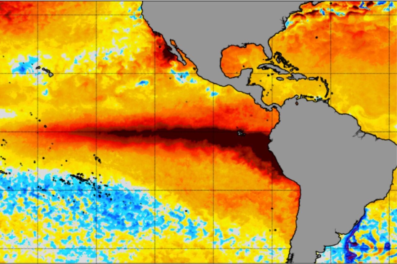
El Niño is primarily to blame for this exceptionally quiet Atlantic hurricane season. This phenomenon increases vertical wind shear over the Atlantic basin, making it harder for cyclones to organize and strengthen.
That wind shear should help prevent Isaias from becoming a major hurricane, but model projections have not ruled out the possibility. The forecast will become more clear as the storm develops over the next 48 hours, and Gulf Coast residents should pay close attention to the expected hazards in their area.